
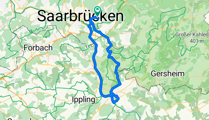
Saarbrücken -> Saareguemines
A cycling route starting in Saarbrücken, Saarland, Germany.
Overview
About this route
- 2 h 58 min
- Duration
- 44.8 km
- Distance
- 515 m
- Ascent
- 515 m
- Descent
- 15.1 km/h
- Avg. speed
- 368 m
- Max. altitude

Continue with Bikemap
Use, edit, or download this cycling route
You would like to ride Saarbrücken -> Saareguemines or customize it for your own trip? Here is what you can do with this Bikemap route:
Free features
- Save this route as favorite or in collections
- Copy & plan your own version of this route
- Sync your route with Garmin or Wahoo
Premium features
Free trial for 3 days, or one-time payment. More about Bikemap Premium.
- Navigate this route on iOS & Android
- Export a GPX / KML file of this route
- Create your custom printout (try it for free)
- Download this route for offline navigation
Discover more Premium features.
Get Bikemap PremiumFrom our community
Other popular routes starting in Saarbrücken
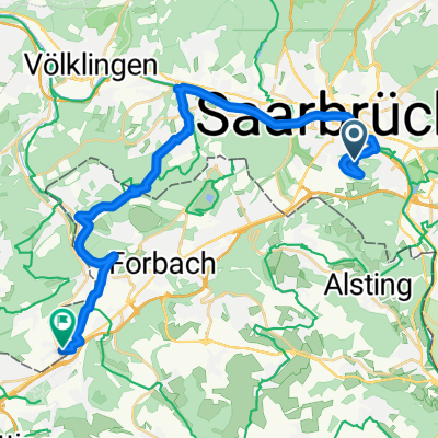 Von Saarbrücken bis Großrosseln
- Distance
- 27.7 km
- Ascent
- 307 m
- Descent
- 383 m
- Location
- Saarbrücken, Saarland, Germany
 Feierabendtour
- Distance
- 28.6 km
- Ascent
- 242 m
- Descent
- 251 m
- Location
- Saarbrücken, Saarland, Germany
 Längere Feierabend Runde
- Distance
- 61 km
- Ascent
- 540 m
- Descent
- 535 m
- Location
- Saarbrücken, Saarland, Germany
 RTF 16. Jumelage Moselle-Saar 2008 RV Blitz Saarbrücken 1897 e.V. 83 km
- Distance
- 78.6 km
- Ascent
- 855 m
- Descent
- 900 m
- Location
- Saarbrücken, Saarland, Germany
 Coal Mining South of the Saar - 16 Tower Tour
- Distance
- 61.8 km
- Ascent
- 582 m
- Descent
- 581 m
- Location
- Saarbrücken, Saarland, Germany
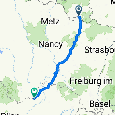 Saarbrücken - Bains-les-Bains
- Distance
- 251 km
- Ascent
- 2,396 m
- Descent
- 2,331 m
- Location
- Saarbrücken, Saarland, Germany
 Bike&Boulder
- Distance
- 29.2 km
- Ascent
- 381 m
- Descent
- 381 m
- Location
- Saarbrücken, Saarland, Germany
 Saarbrücken -> Saareguemines
- Distance
- 44.8 km
- Ascent
- 515 m
- Descent
- 515 m
- Location
- Saarbrücken, Saarland, Germany
Open it in the app