
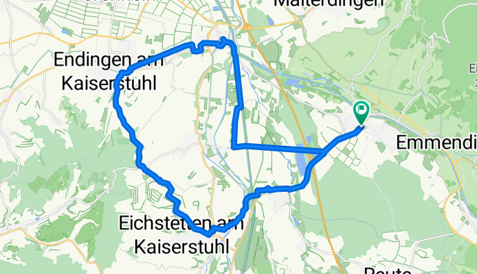
Eichstetten Endingen Bahlingen
A cycling route starting in Teningen, Baden-Wurttemberg, Germany.
Overview
About this route
Discover the thrill of cycling on this scenic route, perfect for adventure seekers. Starting at a moderate elevation, you'll begin your journey with a gentle ascent of 167 meters. As you pedal along, enjoy a delightful descent of 163 meters, offering a smooth transition through the landscape. The route reaches its peak at 285 meters, providing a rewarding challenge for those who love a bit of elevation gain.
This 27.2 km route is ideal for cyclists looking to explore varied terrain, with a mix of paved and unpaved paths adding an element of unpredictability and excitement. Whether you're a seasoned rider or a casual cyclist, this route promises an enjoyable and invigorating experience.
- 3 h 10 min
- Duration
- 27.2 km
- Distance
- 168 m
- Ascent
- 163 m
- Descent
- 8.6 km/h
- Avg. speed
- 285 m
- Max. altitude

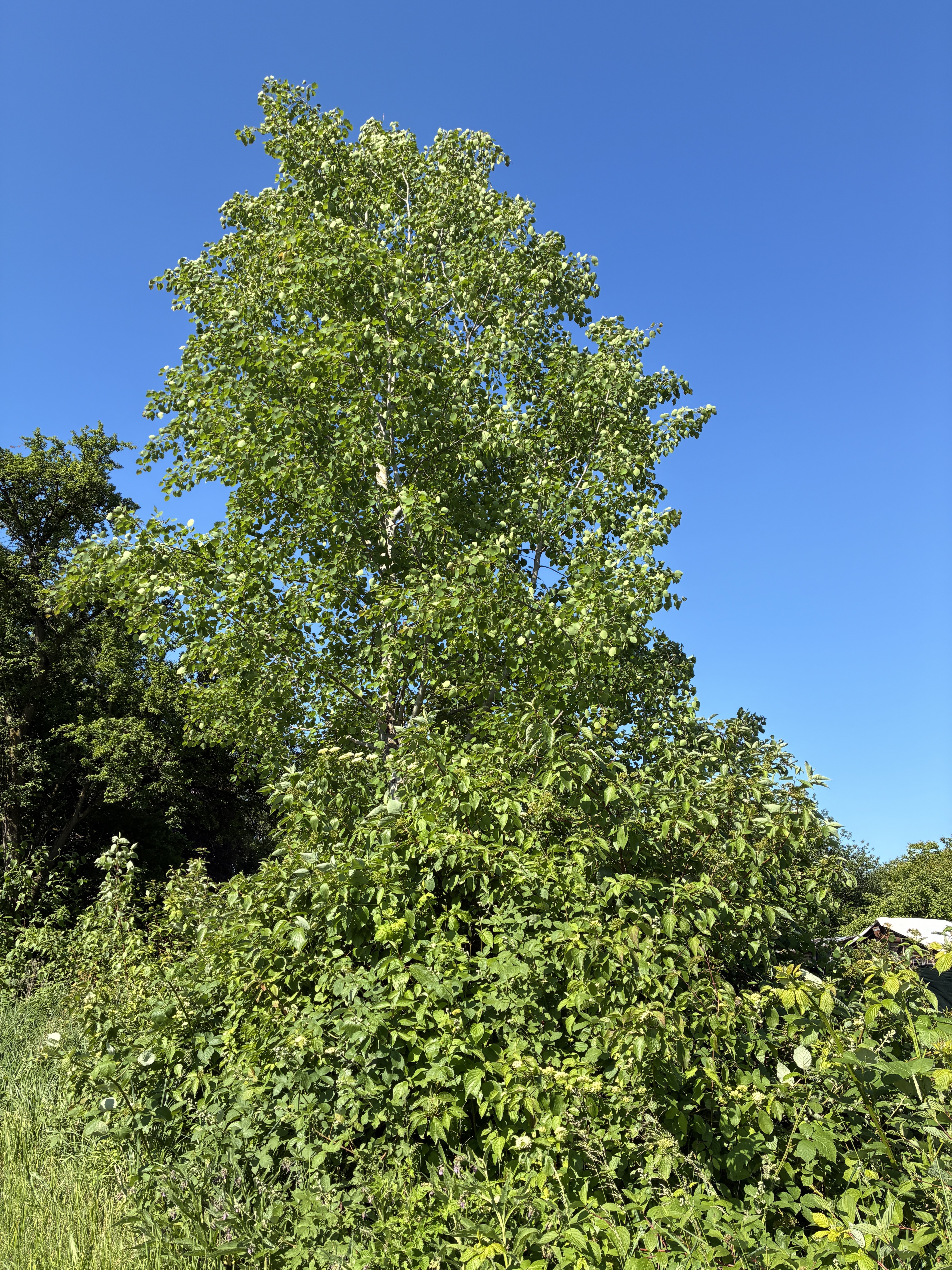
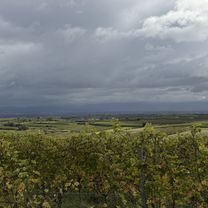
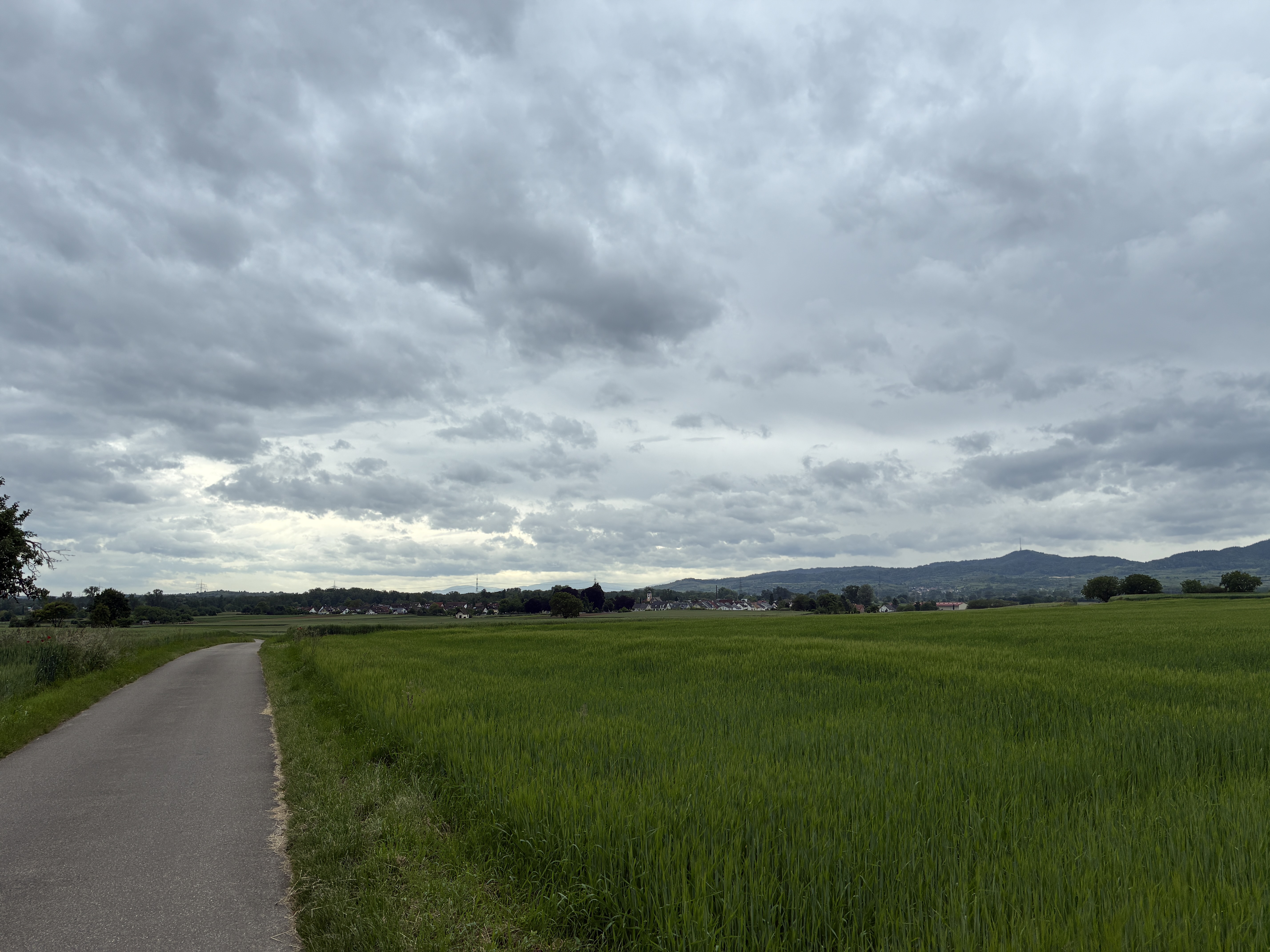
Route photos


Route quality
Waytypes & surfaces along the route
Waytypes
Quiet road
9.2 km
(34 %)
Track
8.4 km
(31 %)
Surfaces
Paved
23.4 km
(86 %)
Asphalt
20.7 km
(76 %)
Paved (undefined)
2.7 km
(10 %)
Undefined
3.8 km
(14 %)
Continue with Bikemap
Use, edit, or download this cycling route
You would like to ride Eichstetten Endingen Bahlingen or customize it for your own trip? Here is what you can do with this Bikemap route:
Free features
- Save this route as favorite or in collections
- Copy & plan your own version of this route
- Sync your route with Garmin or Wahoo
Premium features
Free trial for 3 days, or one-time payment. More about Bikemap Premium.
- Navigate this route on iOS & Android
- Export a GPX / KML file of this route
- Create your custom printout (try it for free)
- Download this route for offline navigation
Discover more Premium features.
Get Bikemap PremiumFrom our community
Other popular routes starting in Teningen
 Teningen Breisach Artzheim Marckolsheim Teningen
- Distance
- 77.4 km
- Ascent
- 178 m
- Descent
- 170 m
- Location
- Teningen, Baden-Wurttemberg, Germany
 Round Vosges Juli 2020
- Distance
- 462.1 km
- Ascent
- 746 m
- Descent
- 745 m
- Location
- Teningen, Baden-Wurttemberg, Germany
 Eichstetten Endingen Bahlingen
- Distance
- 27.2 km
- Ascent
- 168 m
- Descent
- 163 m
- Location
- Teningen, Baden-Wurttemberg, Germany
 1Kaiserstuhlrunde
- Distance
- 61.6 km
- Ascent
- 55 m
- Descent
- 58 m
- Location
- Teningen, Baden-Wurttemberg, Germany
 Gottenheim
- Distance
- 35.6 km
- Ascent
- 156 m
- Descent
- 149 m
- Location
- Teningen, Baden-Wurttemberg, Germany
 Eichberg_Hochburg_Sexau
- Distance
- 34.6 km
- Ascent
- 804 m
- Descent
- 784 m
- Location
- Teningen, Baden-Wurttemberg, Germany
 Hecklingen - Riegel
- Distance
- 19.1 km
- Ascent
- 108 m
- Descent
- 112 m
- Location
- Teningen, Baden-Wurttemberg, Germany
 Heimbach Märchenwiese
- Distance
- 16 km
- Ascent
- 397 m
- Descent
- 397 m
- Location
- Teningen, Baden-Wurttemberg, Germany
Open it in the app