
Durch England und Schottland
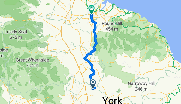
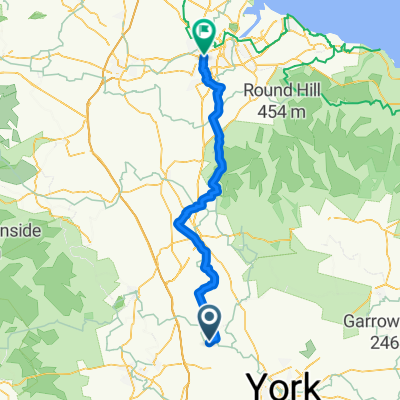
Boroughbridge - Thornaby-on-Tees
A cycling route starting in Boroughbridge, England, United Kingdom.
Overview
About this route
- 5 h 1 min
- Duration
- 78.1 km
- Distance
- 569 m
- Ascent
- 575 m
- Descent
- 15.6 km/h
- Avg. speed
- 309 m
- Max. altitude

Part of
Durch England und Schottland
19 stages
Route quality
Waytypes & surfaces along the route
Waytypes
Road
32 km
(41 %)
Quiet road
24.2 km
(31 %)
Surfaces
Paved
28.9 km
(37 %)
Unpaved
8.6 km
(11 %)
Asphalt
19.5 km
(25 %)
Paved (undefined)
8.6 km
(11 %)
Continue with Bikemap
Use, edit, or download this cycling route
You would like to ride Boroughbridge - Thornaby-on-Tees or customize it for your own trip? Here is what you can do with this Bikemap route:
Free features
- Save this route as favorite or in collections
- Copy & plan your own version of this route
- Sync your route with Garmin or Wahoo
Premium features
Free trial for 3 days, or one-time payment. More about Bikemap Premium.
- Navigate this route on iOS & Android
- Export a GPX / KML file of this route
- Create your custom printout (try it for free)
- Download this route for offline navigation
Discover more Premium features.
Get Bikemap PremiumFrom our community
Other popular routes starting in Boroughbridge
 Boroughbridge - Thornaby-on-Tees
- Distance
- 78.1 km
- Ascent
- 569 m
- Descent
- 575 m
- Location
- Boroughbridge, England, United Kingdom
 Do the Bank, see the Horse, and feel the pain!!!
- Distance
- 71 km
- Ascent
- 356 m
- Descent
- 356 m
- Location
- Boroughbridge, England, United Kingdom
 Clay Pit Lane 4a, Roecliffe to Unnamed Road
- Distance
- 38.4 km
- Ascent
- 139 m
- Descent
- 130 m
- Location
- Boroughbridge, England, United Kingdom
 Recording from 12 March, 10:53
- Distance
- 23.9 km
- Ascent
- 72 m
- Descent
- 72 m
- Location
- Boroughbridge, England, United Kingdom
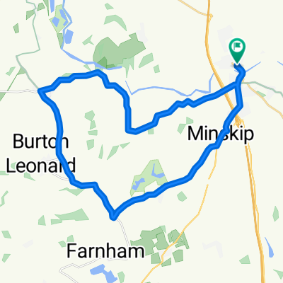
 burton leonard
- Distance
- 30.2 km
- Ascent
- 855 m
- Descent
- 858 m
- Location
- Boroughbridge, England, United Kingdom
 The Camping And Caravan Club, Bar Lane, York to 1–7 Gracious St, Knaresborough
- Distance
- 12.9 km
- Ascent
- 115 m
- Descent
- 52 m
- Location
- Boroughbridge, England, United Kingdom
 Boroughbridge via Ripon circular
- Distance
- 27.9 km
- Ascent
- 55 m
- Descent
- 55 m
- Location
- Boroughbridge, England, United Kingdom
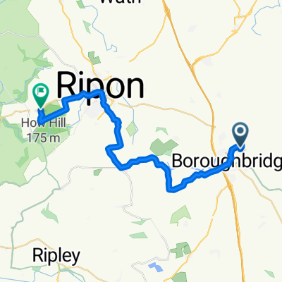 Bbridge2Ripon
- Distance
- 23.7 km
- Ascent
- 142 m
- Descent
- 49 m
- Location
- Boroughbridge, England, United Kingdom
Open it in the app