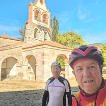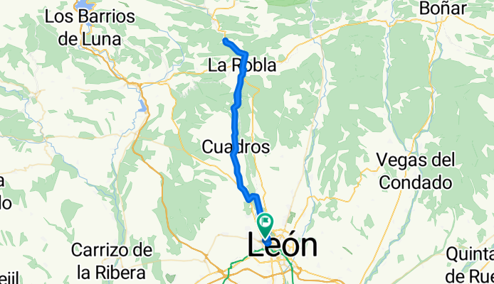


laguna Blanca
- 38.1 km
- 455 m
- 492 m
- San Andrés del Rabanedo, Castille and León, Spain
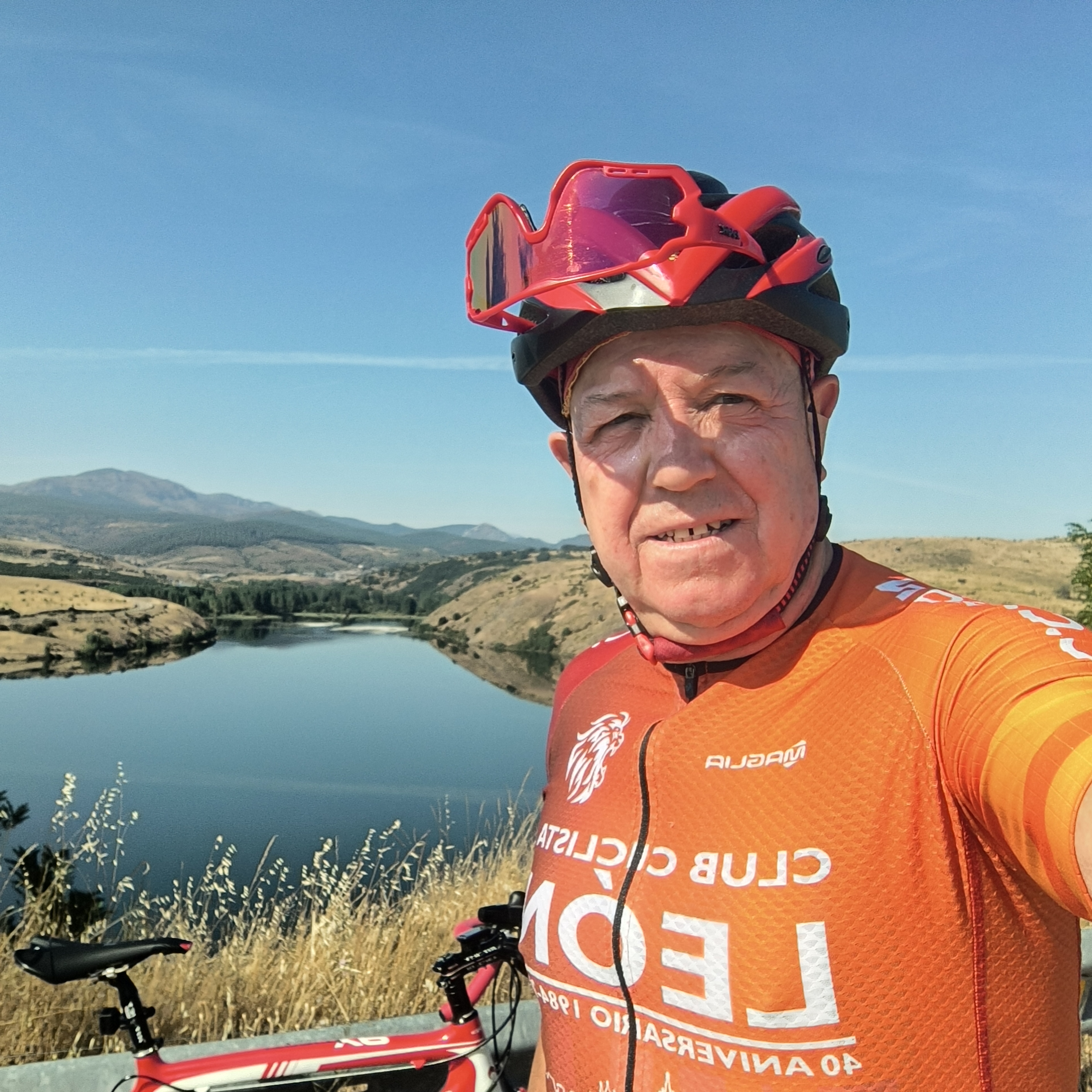
A cycling route starting in San Andrés del Rabanedo, Castille and León, Spain.
Overview
created this 2 months ago

Route quality
Road
42.8 km
(67 %)
Quiet road
10.2 km
(16 %)
Paved
37.7 km
(59 %)
Asphalt
37.7 km
(59 %)
Undefined
26.2 km
(41 %)
Continue with Bikemap
You would like to ride De Avenida San Ignacio de Loyola a Paseo Salamanca or customize it for your own trip? Here is what you can do with this Bikemap route:
Free trial for 3 days, or one-time payment. More about Bikemap Premium.
Discover more Premium features.
Get Bikemap PremiumFrom our community
Open it in the app