

Gomba-kör
- 91.5 km
- 327 m
- 329 m
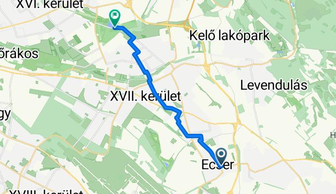
- Ecser, Pest County, Hungary
Quiet road
8.2 km73 %Cycleway
2 km18 %Paved
8.3 km(74 %)Unpaved
1 km(9 %)Asphalt
8.3 km74 %Unpaved (undefined)
0.8 km7 %Free trial for 3 days, or one-time payment. More about Bikemap Premium.
Discover more Premium features.
Get Bikemap PremiumOpen it in the app


