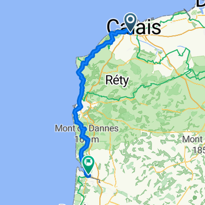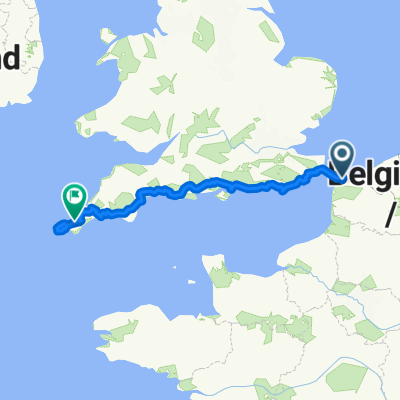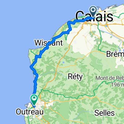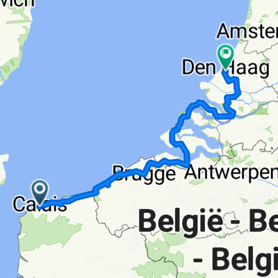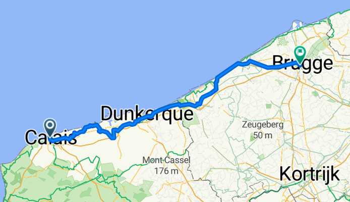
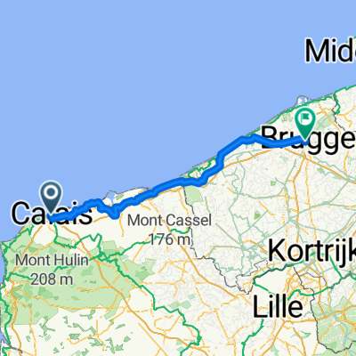
Boulevard des Alliés, Calais to Hoefijzerlaan, Bruges
- 129.1 km
- 118 m
- 121 m
- Calais, Hauts-de-France, France
A cycling route starting in Calais, Hauts-de-France, France.
Overview
Calais Bruges
created this 2 months ago
Route quality
Quiet road
41.3 km
(32 %)
Path
37.4 km
(29 %)
Paved
80 km
(62 %)
Unpaved
3.9 km
(3 %)
Asphalt
52.9 km
(41 %)
Concrete
19.4 km
(15 %)
Continue with Bikemap
You would like to ride Boulevard des Alliés, Calais to Hoefijzerlaan, Bruges or customize it for your own trip? Here is what you can do with this Bikemap route:
Free trial for 3 days, or one-time payment. More about Bikemap Premium.
Discover more Premium features.
Get Bikemap PremiumFrom our community
Open it in the app