
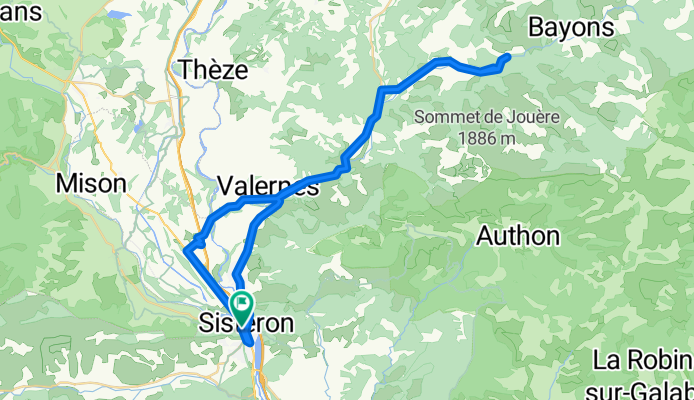
Sisteron - Circle to Clamensane and beyond
A cycling route starting in Sisteron, Provence-Alpes-Côte d'Azur Region, France.
Overview
About this route
This was a great route. Pretty soon after getting onto D951 and away a little from Sisteron, there was very little traffic and wonderful scenery. The only part where there's traffic was on our return to Sisteron on D4085.
The areas around Sisteron are a pleasure to ride.
- 6 h 12 min
- Duration
- 58.8 km
- Distance
- 662 m
- Ascent
- 662 m
- Descent
- 9.5 km/h
- Avg. speed
- 788 m
- Max. altitude

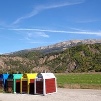
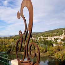
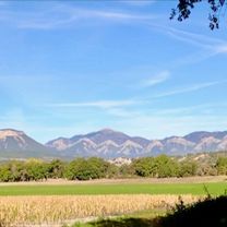
Route photos


Route quality
Waytypes & surfaces along the route
Waytypes
Road
17.1 km
(29 %)
Quiet road
5.3 km
(9 %)
Surfaces
Paved
28.8 km
(49 %)
Asphalt
28.8 km
(49 %)
Undefined
30 km
(51 %)
Continue with Bikemap
Use, edit, or download this cycling route
You would like to ride Sisteron - Circle to Clamensane and beyond or customize it for your own trip? Here is what you can do with this Bikemap route:
Free features
- Save this route as favorite or in collections
- Copy & plan your own version of this route
- Sync your route with Garmin or Wahoo
Premium features
Free trial for 3 days, or one-time payment. More about Bikemap Premium.
- Navigate this route on iOS & Android
- Export a GPX / KML file of this route
- Create your custom printout (try it for free)
- Download this route for offline navigation
Discover more Premium features.
Get Bikemap PremiumFrom our community
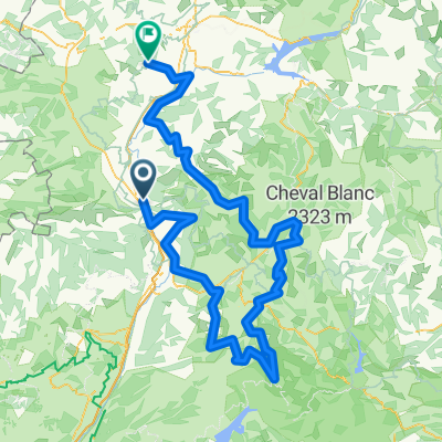
Other popular routes starting in Sisteron
 Durance - Buech - Eygues
- Distance
- 306.8 km
- Ascent
- 1,098 m
- Descent
- 1,111 m
- Location
- Sisteron, Provence-Alpes-Côte d'Azur Region, France
 Sisteron - Circle to Clamensane and beyond
- Distance
- 58.8 km
- Ascent
- 662 m
- Descent
- 662 m
- Location
- Sisteron, Provence-Alpes-Côte d'Azur Region, France
 2012 French Tour -- Ride Day 39 -- 27 September 2012 -- Sisteron to Champtercier (via Dignes-les-Bains)
- Distance
- 74.4 km
- Ascent
- 1,107 m
- Descent
- 977 m
- Location
- Sisteron, Provence-Alpes-Côte d'Azur Region, France
 Le Desert met campings (deel 1)
- Distance
- 275.9 km
- Ascent
- 8,962 m
- Descent
- 8,158 m
- Location
- Sisteron, Provence-Alpes-Côte d'Azur Region, France
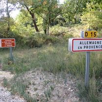 Sisteron to Allemagne-en-Provence
- Distance
- 66.6 km
- Ascent
- 897 m
- Descent
- 942 m
- Location
- Sisteron, Provence-Alpes-Côte d'Azur Region, France
 Sisteron - Circle to Peipin
- Distance
- 14.8 km
- Ascent
- 145 m
- Descent
- 138 m
- Location
- Sisteron, Provence-Alpes-Côte d'Azur Region, France
 Sorti du 1/09/2021 a Sisteron
- Distance
- 7.7 km
- Ascent
- 49 m
- Descent
- 60 m
- Location
- Sisteron, Provence-Alpes-Côte d'Azur Region, France
 Sisteron - Circle to Claret
- Distance
- 54.3 km
- Ascent
- 798 m
- Descent
- 797 m
- Location
- Sisteron, Provence-Alpes-Côte d'Azur Region, France
Open it in the app