
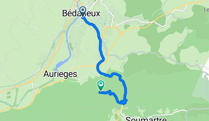
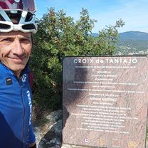
ASCENSO AL PIC DE TANTAJO (por Bédarieux)
A cycling route starting in Bédarieux, Occitanie, France.
Overview
About this route
Pic de Tantajo, at 481 metres above sea level, is an emblematic summit of Upper Languedoc that rises abruptly above the town of Bédarieux, overlooking the Orb valley and the gentle hills around it. Despite its modest height, its steep profile and strategic location make it an exceptional natural viewpoint, both geographically and historically. Since ancient times, Pic de Tantajo has been a visual landmark for travelers and merchants crossing the region, and it also served as a watch post during the Middle Ages because of its clear view over the valley routes.
- 27 min
- Duration
- 5.2 km
- Distance
- 334 m
- Ascent
- 49 m
- Descent
- 11.8 km/h
- Avg. speed
- 481 m
- Max. altitude

Route photos
\"")
Route quality
Waytypes & surfaces along the route
Waytypes
Quiet road
1.9 km
(36 %)
Pedestrian area
0.1 km
(2 %)
Undefined
3.2 km
(62 %)
Surfaces
Paved
0.7 km
(14 %)
Asphalt
0.7 km
(14 %)
Undefined
4.5 km
(86 %)
Continue with Bikemap
Use, edit, or download this cycling route
You would like to ride ASCENSO AL PIC DE TANTAJO (por Bédarieux) or customize it for your own trip? Here is what you can do with this Bikemap route:
Free features
- Save this route as favorite or in collections
- Copy & plan your own version of this route
- Sync your route with Garmin or Wahoo
Premium features
Free trial for 3 days, or one-time payment. More about Bikemap Premium.
- Navigate this route on iOS & Android
- Export a GPX / KML file of this route
- Create your custom printout (try it for free)
- Download this route for offline navigation
Discover more Premium features.
Get Bikemap PremiumFrom our community
Other popular routes starting in Bédarieux
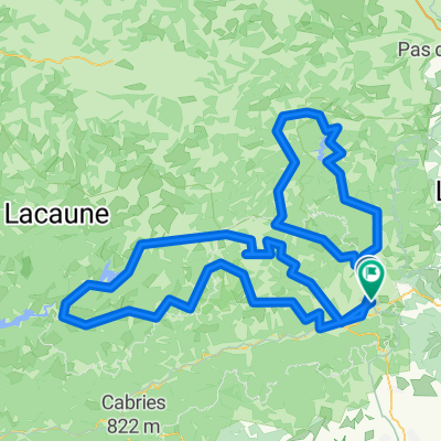 BCMF CAROUX ESPINOUSE RANDONNEUR
- Distance
- 221.1 km
- Ascent
- 2,325 m
- Descent
- 2,323 m
- Location
- Bédarieux, Occitanie, France
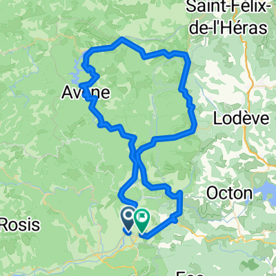
 bedarieux-ceilhes-avene-truscas
- Distance
- 76.2 km
- Ascent
- 1,506 m
- Descent
- 1,508 m
- Location
- Bédarieux, Occitanie, France
 Bédarieux
- Distance
- 83.8 km
- Ascent
- 1,149 m
- Descent
- 1,093 m
- Location
- Bédarieux, Occitanie, France
 Bedarieux, Mazamet, Revel, canal du Midí, Carcasona, Beziers, Marseillan.
- Distance
- 360.8 km
- Ascent
- 438 m
- Descent
- 634 m
- Location
- Bédarieux, Occitanie, France
 Etape 12 – De Bédarieux à Cabrerolles - Itinéraire Sud
- Distance
- 22.8 km
- Ascent
- 732 m
- Descent
- 665 m
- Location
- Bédarieux, Occitanie, France
 Bedarieux Mazamet
- Distance
- 73.7 km
- Ascent
- 445 m
- Descent
- 398 m
- Location
- Bédarieux, Occitanie, France
 ASCENSO AL PIC DE TANTAJO (por Bédarieux)
- Distance
- 5.2 km
- Ascent
- 334 m
- Descent
- 49 m
- Location
- Bédarieux, Occitanie, France
 BCMF CAROUX ESPINOUSE TOURISTE
- Distance
- 220.9 km
- Ascent
- 2,353 m
- Descent
- 2,357 m
- Location
- Bédarieux, Occitanie, France
Open it in the app