
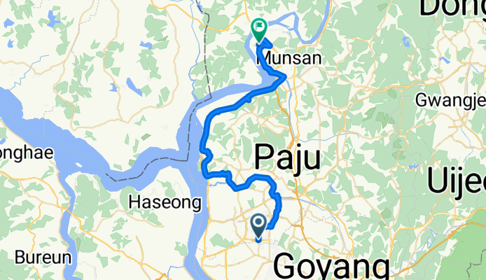
13-21 13-21 ~ 문산읍 1254-2
A cycling route starting in Goyang-si, Gyeonggi-do, South Korea.
Overview
About this route
- 2 h 41 min
- Duration
- 42.5 km
- Distance
- 144 m
- Ascent
- 176 m
- Descent
- 15.9 km/h
- Avg. speed
- 46 m
- Max. altitude

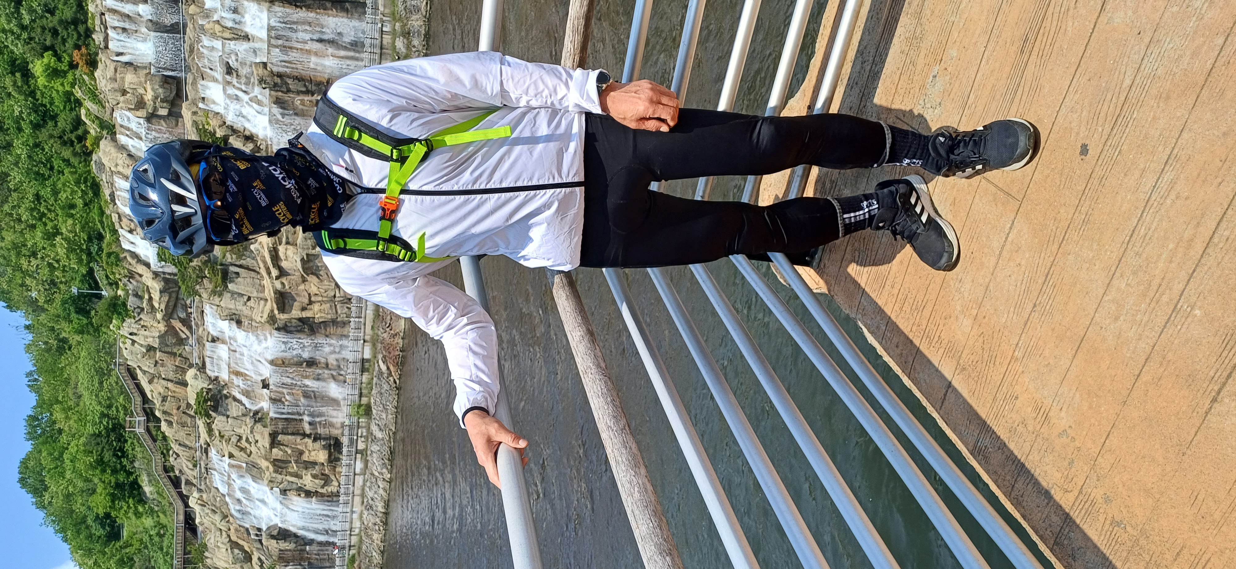
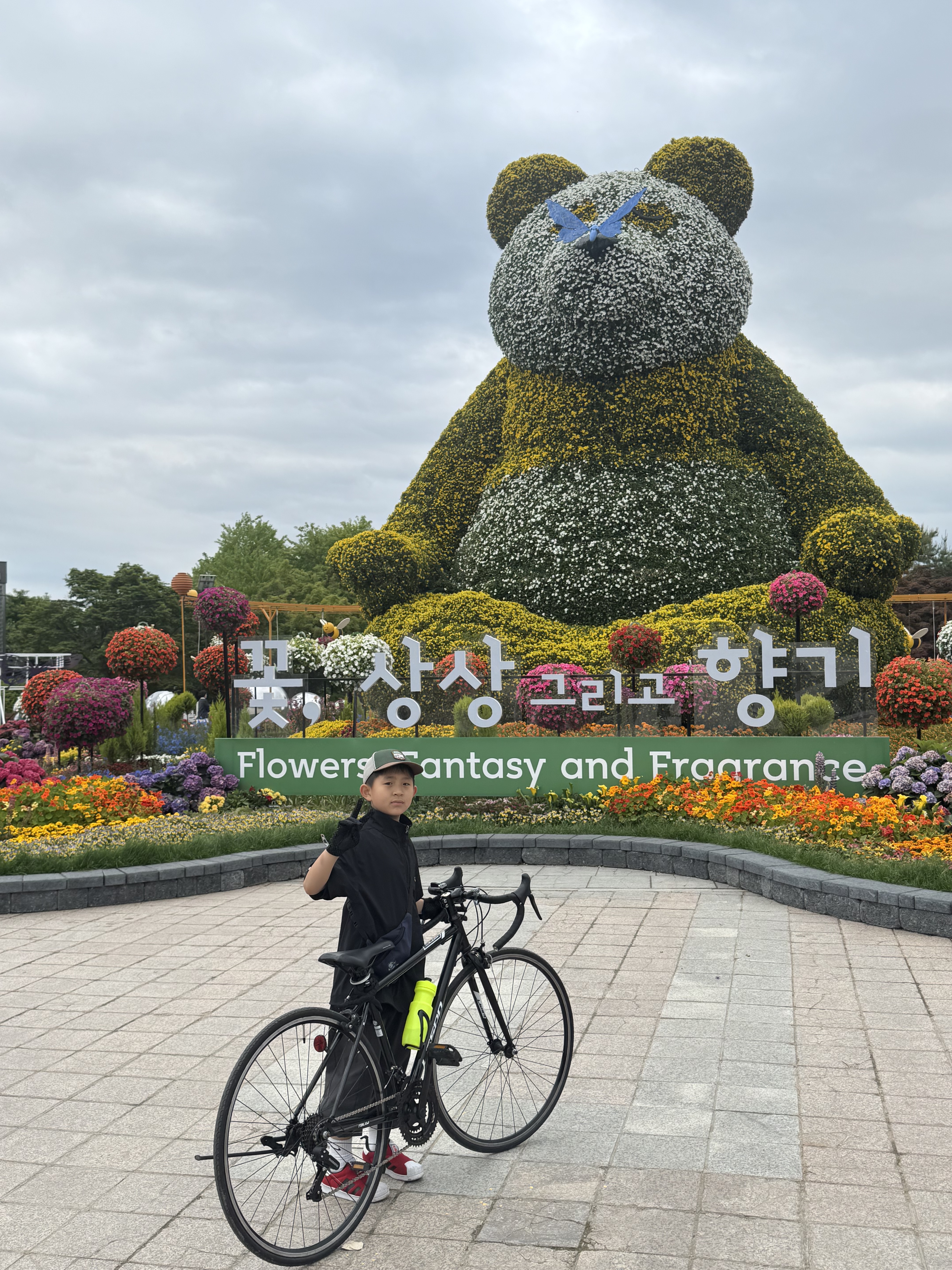
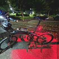
Route photos


Continue with Bikemap
Use, edit, or download this cycling route
You would like to ride 13-21 13-21 ~ 문산읍 1254-2 or customize it for your own trip? Here is what you can do with this Bikemap route:
Free features
- Save this route as favorite or in collections
- Copy & plan your own version of this route
- Sync your route with Garmin or Wahoo
Premium features
Free trial for 3 days, or one-time payment. More about Bikemap Premium.
- Navigate this route on iOS & Android
- Export a GPX / KML file of this route
- Create your custom printout (try it for free)
- Download this route for offline navigation
Discover more Premium features.
Get Bikemap PremiumFrom our community
Other popular routes starting in Goyang-si
 안정적인 라이딩
- Distance
- 40.8 km
- Ascent
- 89 m
- Descent
- 116 m
- Location
- Goyang-si, Gyeonggi-do, South Korea
 Cycle along the Han River
- Distance
- 33 km
- Ascent
- 345 m
- Descent
- 335 m
- Location
- Goyang-si, Gyeonggi-do, South Korea
 13-21 13-21 ~ 문산읍 1254-2
- Distance
- 42.5 km
- Ascent
- 144 m
- Descent
- 176 m
- Location
- Goyang-si, Gyeonggi-do, South Korea
 지축동, 고양시에서 고양동, 고양시까지
- Distance
- 10.6 km
- Ascent
- 117 m
- Descent
- 86 m
- Location
- Goyang-si, Gyeonggi-do, South Korea
 흥도로70번길, 고양시에서 행신동, 고양시까지
- Distance
- 30.9 km
- Ascent
- 196 m
- Descent
- 184 m
- Location
- Goyang-si, Gyeonggi-do, South Korea
 행주대교 - 당산역
- Distance
- 11.1 km
- Ascent
- 81 m
- Descent
- 69 m
- Location
- Goyang-si, Gyeonggi-do, South Korea
 느린 주행
느린 주행- Distance
- 7.9 km
- Ascent
- 35 m
- Descent
- 59 m
- Location
- Goyang-si, Gyeonggi-do, South Korea
 Haengsin 1(il)-dong, Goyang-si to Hwajeong-dong 965, Goyang-si
- Distance
- 7.9 km
- Ascent
- 91 m
- Descent
- 66 m
- Location
- Goyang-si, Gyeonggi-do, South Korea
Open it in the app