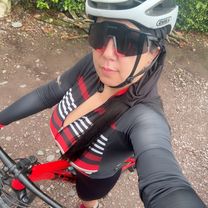

disciplina día 3
- 10.3 km
- 81 m
- 81 m
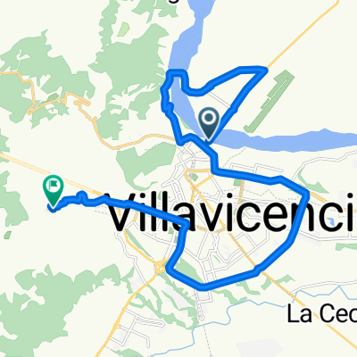
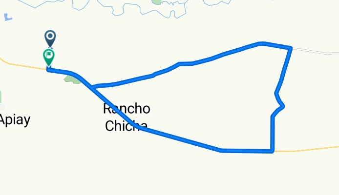
- Villavicencio, Meta Department, Colombia
A cycling route starting in Villavicencio, Meta Department, Colombia.
Overview
created this 2 months ago


Route quality
Cycleway
9.4 km
(36 %)
Quiet road
8.1 km
(31 %)
Paved
12.7 km
(49 %)
Unpaved
5.2 km
(20 %)
Asphalt
12.7 km
(49 %)
Unpaved (undefined)
5.2 km
(20 %)
Undefined
8.1 km
(31 %)
Continue with Bikemap
You would like to ride Apiay, Villavicencio a Vía Vereda Apiay, Villavicencio or customize it for your own trip? Here is what you can do with this Bikemap route:
Free trial for 3 days, or one-time payment. More about Bikemap Premium.
Discover more Premium features.
Get Bikemap PremiumFrom our community
Open it in the app