
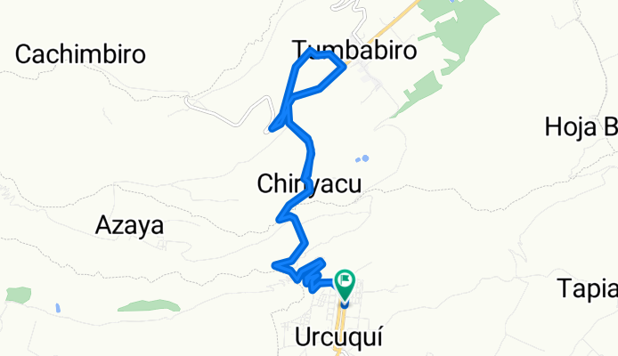
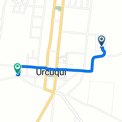
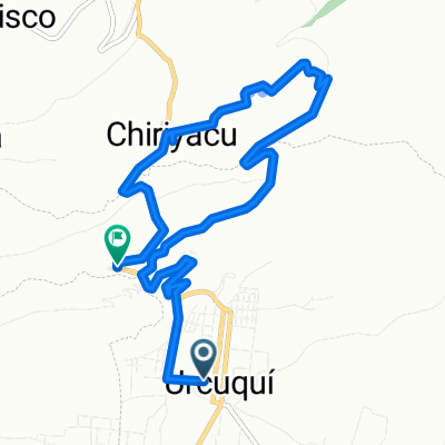
Tumbabiro 2
A cycling route starting in Atuntaqui, Imbabura, Ecuador.
Overview
About this route
- 1 h 17 min
- Duration
- 18.4 km
- Distance
- 498 m
- Ascent
- 567 m
- Descent
- 14.4 km/h
- Avg. speed
- 2,332 m
- Max. altitude

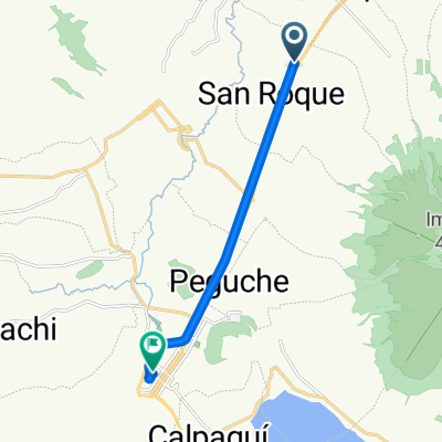
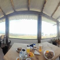
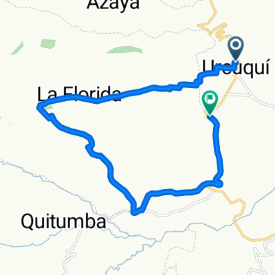
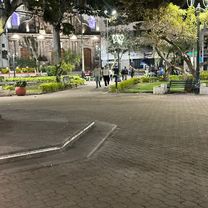
Route photos


Route quality
Waytypes & surfaces along the route
Waytypes
Quiet road
2.6 km
(14 %)
Road
0.6 km
(3 %)
Undefined
15.3 km
(83 %)
Continue with Bikemap
Use, edit, or download this cycling route
You would like to ride Tumbabiro 2 or customize it for your own trip? Here is what you can do with this Bikemap route:
Free features
- Save this route as favorite or in collections
- Copy & plan your own version of this route
- Sync your route with Garmin or Wahoo
Premium features
Free trial for 3 days, or one-time payment. More about Bikemap Premium.
- Navigate this route on iOS & Android
- Export a GPX / KML file of this route
- Create your custom printout (try it for free)
- Download this route for offline navigation
Discover more Premium features.
Get Bikemap PremiumFrom our community
Other popular routes starting in Atuntaqui
 Iruguincho Coñaqui
- Distance
- 20.5 km
- Ascent
- 570 m
- Descent
- 577 m
- Location
- Atuntaqui, Imbabura, Ecuador
 Ruta moderata
- Distance
- 12 km
- Ascent
- 111 m
- Descent
- 4 m
- Location
- Atuntaqui, Imbabura, Ecuador
 Ruta moderata
- Distance
- 20.6 km
- Ascent
- 486 m
- Descent
- 509 m
- Location
- Atuntaqui, Imbabura, Ecuador
 iruguincho Coñaqui
- Distance
- 17.1 km
- Ascent
- 703 m
- Descent
- 721 m
- Location
- Atuntaqui, Imbabura, Ecuador
 Ruta a Calle Antonio Ante, Urcuqui
- Distance
- 1.1 km
- Ascent
- 7 m
- Descent
- 0 m
- Location
- Atuntaqui, Imbabura, Ecuador
 ride from 13/7/16 08:20
- Distance
- 26.7 km
- Ascent
- 384 m
- Descent
- 392 m
- Location
- Atuntaqui, Imbabura, Ecuador
 prueba
- Distance
- 12.2 km
- Ascent
- 333 m
- Descent
- 476 m
- Location
- Atuntaqui, Imbabura, Ecuador
 Tumbabiro 2
- Distance
- 18.4 km
- Ascent
- 498 m
- Descent
- 567 m
- Location
- Atuntaqui, Imbabura, Ecuador
Open it in the app