Okolo Malaciek - 66 km
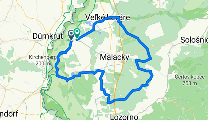
A cycling route starting in Malacky, Bratislava Region, Slovakia.
Overview
About this route
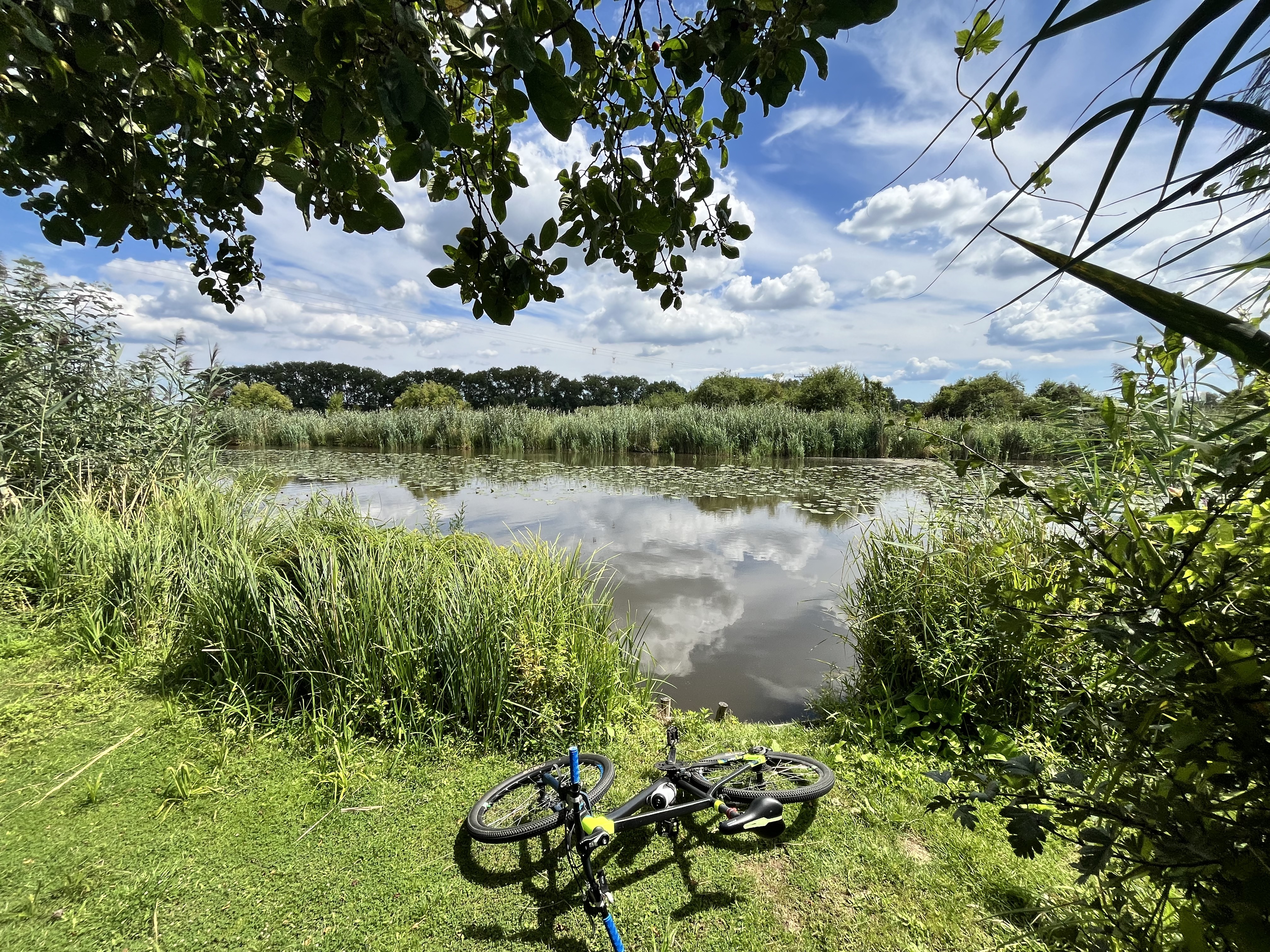
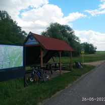
Traditional cycling route as a season send-off for the cyclists of Cykloklub Gajary
- 5 h 42 min
- Duration
- 66.5 km
- Distance
- 323 m
- Ascent
- 321 m
- Descent
- 11.7 km/h
- Avg. speed
- 224 m
- Max. altitude
Route quality
Waytypes & surfaces along the route
Waytypes
Track
31.9 km
(48 %)
Quiet road
17.3 km
(26 %)
Surfaces
Paved
41.3 km
(62 %)
Unpaved
22 km
(33 %)
Asphalt
40.6 km
(61 %)
Gravel
13.3 km
(20 %)
Continue with Bikemap
Use, edit, or download this cycling route
You would like to ride Okolo Malaciek - 66 km or customize it for your own trip? Here is what you can do with this Bikemap route:
Free features
- Save this route as favorite or in collections
- Copy & plan your own version of this route
- Sync your route with Garmin or Wahoo
Premium features
Free trial for 3 days, or one-time payment. More about Bikemap Premium.
- Navigate this route on iOS & Android
- Export a GPX / KML file of this route
- Create your custom printout (try it for free)
- Download this route for offline navigation
Discover more Premium features.
Get Bikemap PremiumFrom our community
Other popular routes starting in Malacky
Gajary_Devín- Distance
- 49.2 km
- Ascent
- 61 m
- Descent
- 66 m
- Location
- Malacky, Bratislava Region, Slovakia
Nedelna siesta v Karpatoch- Distance
- 65.3 km
- Ascent
- 587 m
- Descent
- 587 m
- Location
- Malacky, Bratislava Region, Slovakia
Záhorácka do Záhorácka- Distance
- 12.2 km
- Ascent
- 51 m
- Descent
- 103 m
- Location
- Malacky, Bratislava Region, Slovakia
1. mája 2798/9 do Malé námestie 5000- Distance
- 57.3 km
- Ascent
- 87 m
- Descent
- 136 m
- Location
- Malacky, Bratislava Region, Slovakia
Šumava 2008:V.Leváre-Černá v Pošumaví- Distance
- 322.5 km
- Ascent
- 2,383 m
- Descent
- 1,973 m
- Location
- Malacky, Bratislava Region, Slovakia
Cesta mládeže 46, Malacky do Technopol- Distance
- 50.2 km
- Ascent
- 120 m
- Descent
- 138 m
- Location
- Malacky, Bratislava Region, Slovakia
vyslap 4 - Rudava back home- Distance
- 49.9 km
- Ascent
- 179 m
- Descent
- 143 m
- Location
- Malacky, Bratislava Region, Slovakia
Biely kriz, Kacin, Zohor- Distance
- 63 km
- Ascent
- 698 m
- Descent
- 703 m
- Location
- Malacky, Bratislava Region, Slovakia
Open it in the app


