
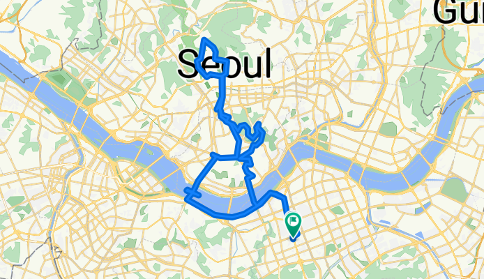
남북코스-251008
A cycling route starting in Seoul, Seoul, South Korea.
Overview
About this route
- 5 h 51 min
- Duration
- 48.6 km
- Distance
- 651 m
- Ascent
- 651 m
- Descent
- 8.3 km/h
- Avg. speed
- 260 m
- Max. altitude

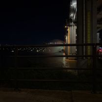
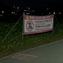
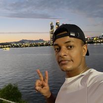
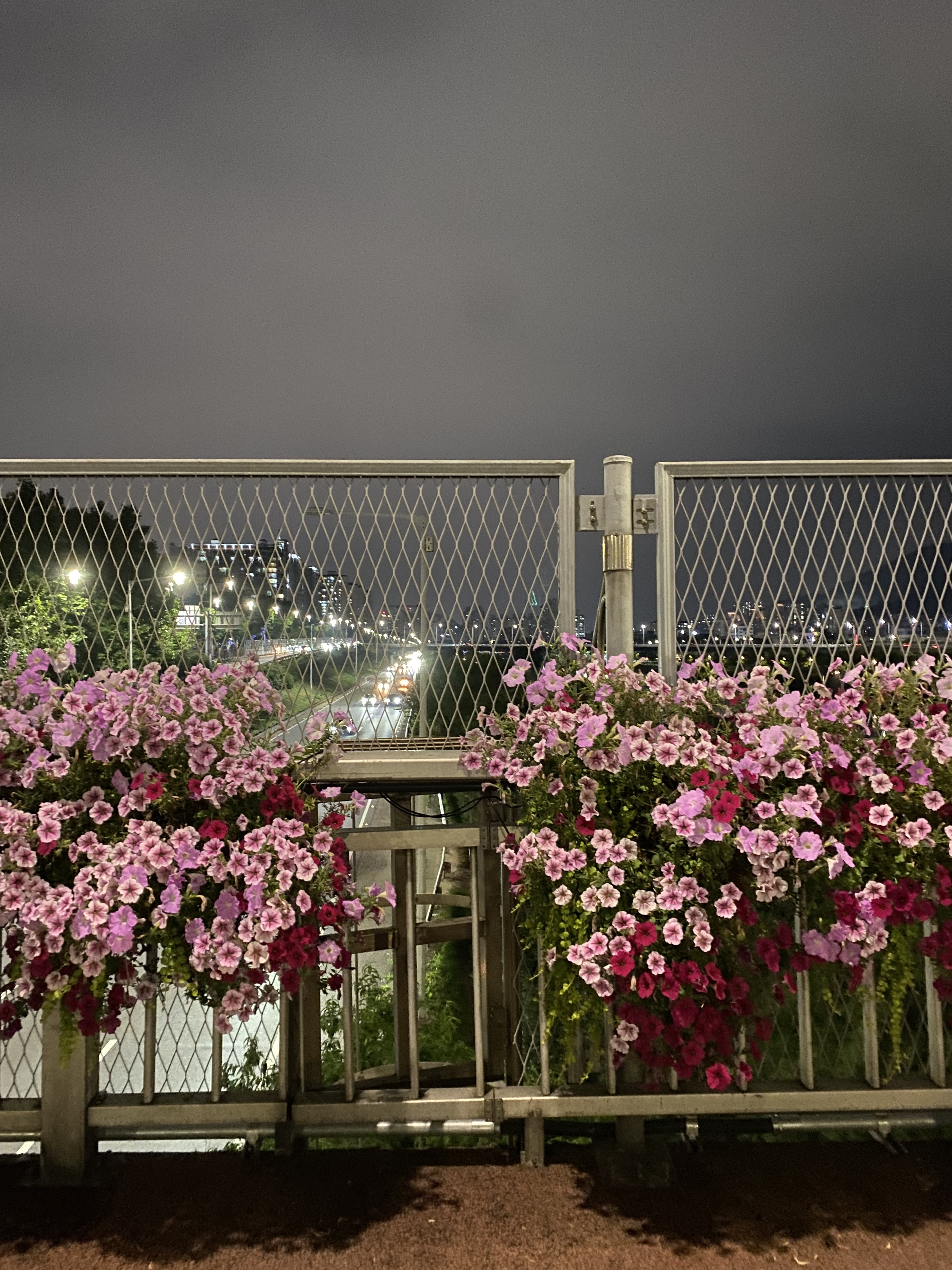
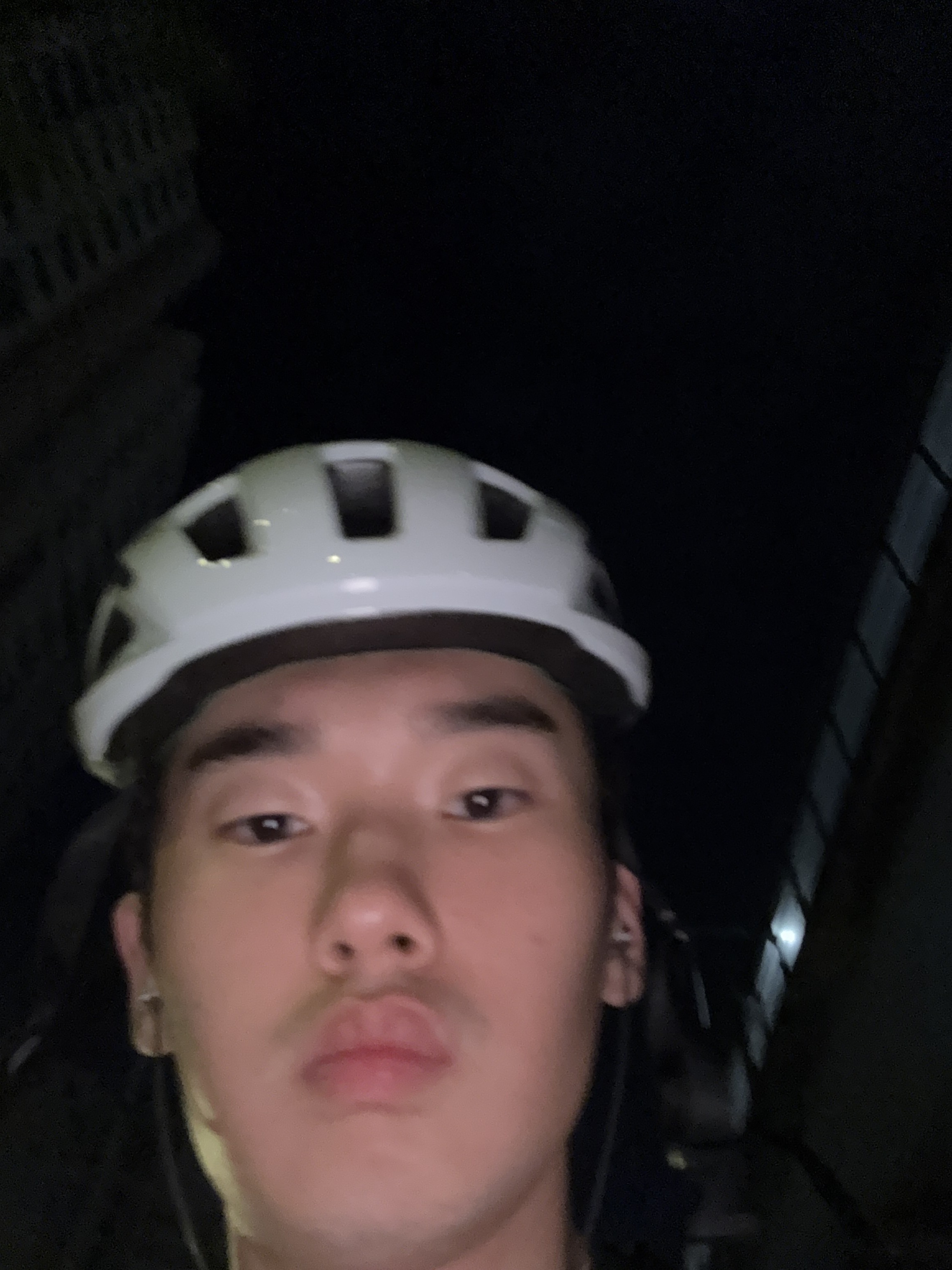
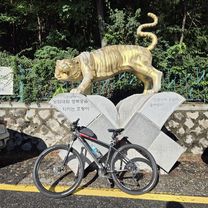
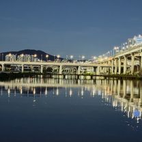
Route photos


Continue with Bikemap
Use, edit, or download this cycling route
You would like to ride 남북코스-251008 or customize it for your own trip? Here is what you can do with this Bikemap route:
Free features
- Save this route as favorite or in collections
- Copy & plan your own version of this route
- Sync your route with Garmin or Wahoo
Premium features
Free trial for 3 days, or one-time payment. More about Bikemap Premium.
- Navigate this route on iOS & Android
- Export a GPX / KML file of this route
- Create your custom printout (try it for free)
- Download this route for offline navigation
Discover more Premium features.
Get Bikemap PremiumFrom our community
Other popular routes starting in Seoul
 8.16 라이딩
- Distance
- 30.4 km
- Ascent
- 1,004 m
- Descent
- 1,020 m
- Location
- Seoul, Seoul, South Korea
 잠원로, 서울특별시에서 방배동, 서울특별시까지
- Distance
- 30.1 km
- Ascent
- 203 m
- Descent
- 215 m
- Location
- Seoul, Seoul, South Korea
 노량진동, 서울특별시 to 노량진동, 서울특별시
- Distance
- 28.2 km
- Ascent
- 204 m
- Descent
- 199 m
- Location
- Seoul, Seoul, South Korea
 토정동, 서울특별시 to 불광동, 서울특별시
- Distance
- 34.8 km
- Ascent
- 1,056 m
- Descent
- 1,038 m
- Location
- Seoul, Seoul, South Korea
 북부간선도로, 서울특별시에서 월곡로14길, 서울특별시까지
- Distance
- 19.1 km
- Ascent
- 409 m
- Descent
- 422 m
- Location
- Seoul, Seoul, South Korea
 남북코스-251008
- Distance
- 48.6 km
- Ascent
- 651 m
- Descent
- 651 m
- Location
- Seoul, Seoul, South Korea
 노량진동, 서울특별시 to 노량진동, 서울특별시
- Distance
- 56.3 km
- Ascent
- 432 m
- Descent
- 429 m
- Location
- Seoul, Seoul, South Korea
 답십리동, 서울특별시 to 정릉천동로, 서울특별시
- Distance
- 3.7 km
- Ascent
- 24 m
- Descent
- 22 m
- Location
- Seoul, Seoul, South Korea
Open it in the app