


Rorbas-Rorbas über Wilchingen
- 59.4 km
- 651 m
- 651 m
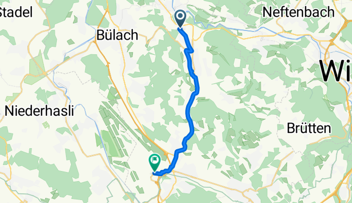
- Embrach / Kellersacker, Canton of Zurich, Switzerland
A cycling route starting in Embrach / Kellersacker, Canton of Zurich, Switzerland.
Overview
created this 2 months ago

Route quality
Cycleway
3.6 km
(35 %)
Quiet road
3.4 km
(33 %)
Paved
10 km
(97 %)
Unpaved
0.3 km
(3 %)
Asphalt
9.9 km
(96 %)
Gravel
0.3 km
(3 %)
Paved (undefined)
0.1 km
(1 %)
Continue with Bikemap
You would like to ride Hardstrasse to Zürich Flughafen or customize it for your own trip? Here is what you can do with this Bikemap route:
Free trial for 3 days, or one-time payment. More about Bikemap Premium.
Discover more Premium features.
Get Bikemap PremiumFrom our community
Open it in the app


