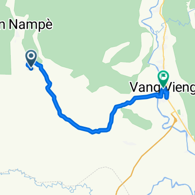
Vang Vieng à Vangvieng
- 10.6 km
- 67 m
- 42 m
- Vang Vieng, Vientiane Province, Laos
A cycling route starting in Vang Vieng, Vientiane Province, Laos.
Overview
Embark on a scenic cycling adventure through the heart of Vang Vieng! Start your journey at the charming Vang Vieng, where the lush landscapes and vibrant culture set the stage for your ride.
As you pedal along the paved roads, you'll pass the popular Blue Lagoon 2 food court, a perfect spot to refuel and enjoy local cuisine. Continue your ride through the picturesque town of Vang Vieng, where the winding streets offer a glimpse into the local way of life.
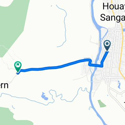
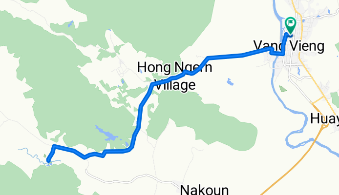
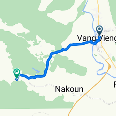
The route is a delightful mix of paved and unpaved paths, providing a varied terrain that keeps the ride exciting. With a total distance of 20.9 km, you'll ascend gently to reach a maximum elevation of 269 meters, followed by a smooth descent. The ascent of 107 meters and descent of 109 meters offer a balanced challenge for cyclists of all levels.
Enjoy the tranquility of the Route tranquille, with 92.9% of the route on paved paths. The bike network is well-defined, ensuring a smooth and connected ride. Whether you're a seasoned cyclist or a casual rider, this route promises an enjoyable and memorable experience through the natural beauty of Vang Vieng.
AI generated
created this 2 months ago
Route quality
Quiet road
19.7 km
(94 %)
Road
1.3 km
(6 %)
Paved
11.3 km
(54 %)
Unpaved
8.4 km
(40 %)
Asphalt
11.1 km
(53 %)
Gravel
7.3 km
(35 %)
Continue with Bikemap
You would like to ride Vang Vieng à Vang Vieng or customize it for your own trip? Here is what you can do with this Bikemap route:
Free trial for 3 days, or one-time payment. More about Bikemap Premium.
Discover more Premium features.
Get Bikemap PremiumFrom our community
Open it in the app