
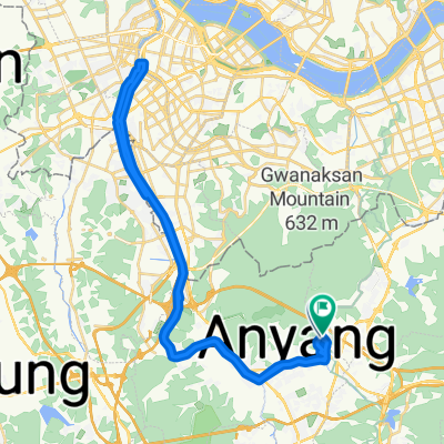
평촌동 61-1 ~ 평촌동 66-18
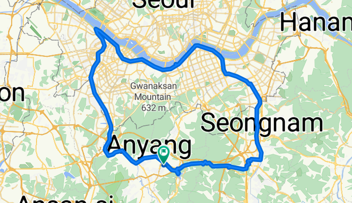
A cycling route starting in Anyang-si, Gyeonggi-do, South Korea.
Overview
About this route
- 5 h 6 min
- Duration
- 86.4 km
- Distance
- 377 m
- Ascent
- 381 m
- Descent
- 16.9 km/h
- Avg. speed
- 229 m
- Max. altitude

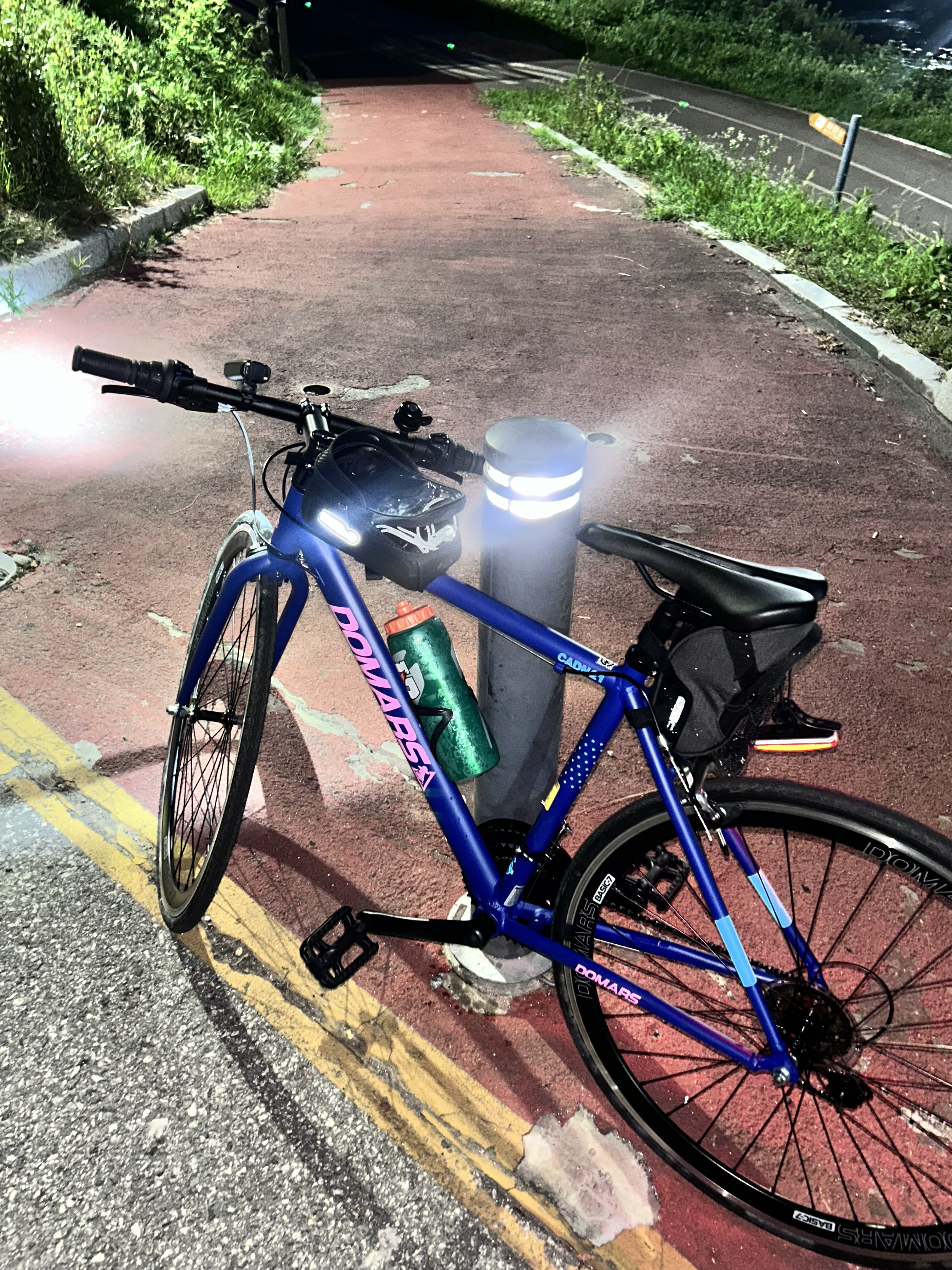
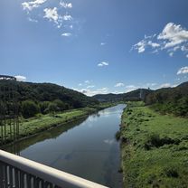
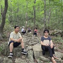
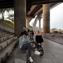
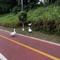
Route photos


Continue with Bikemap
Use, edit, or download this cycling route
You would like to ride 평촌동 61-1 ~ 평촌동 66-18 or customize it for your own trip? Here is what you can do with this Bikemap route:
Free features
- Save this route as favorite or in collections
- Copy & plan your own version of this route
- Split it into stages to create a multi-day tour
- Sync your route with Garmin or Wahoo
Premium features
Free trial for 3 days, or one-time payment. More about Bikemap Premium.
- Navigate this route on iOS & Android
- Export a GPX / KML file of this route
- Create your custom printout (try it for free)
- Download this route for offline navigation
Discover more Premium features.
Get Bikemap PremiumFrom our community
Other popular routes starting in Anyang-si
 산본동, 군포시에서 산본동, 군포시까지
- Distance
- 15.4 km
- Ascent
- 212 m
- Descent
- 186 m
- Location
- Anyang-si, Gyeonggi-do, South Korea
 안양8동 산162-5 ~ 안양동 349-44
- Distance
- 24.3 km
- Ascent
- 112 m
- Descent
- 134 m
- Location
- Anyang-si, Gyeonggi-do, South Korea
 안정적인 라이딩
- Distance
- 47 km
- Ascent
- 215 m
- Descent
- 221 m
- Location
- Anyang-si, Gyeonggi-do, South Korea
 2025.11,22
- Distance
- 47.6 km
- Ascent
- 498 m
- Descent
- 539 m
- Location
- Anyang-si, Gyeonggi-do, South Korea
 막계동, 과천시에서 신천동, 서울특별시까지
- Distance
- 18.9 km
- Ascent
- 46 m
- Descent
- 69 m
- Location
- Anyang-si, Gyeonggi-do, South Korea
 과천동, 과천시에서 양지마을1로, 과천시까지
- Distance
- 27.1 km
- Ascent
- 147 m
- Descent
- 140 m
- Location
- Anyang-si, Gyeonggi-do, South Korea
 과천동, 과천시에서 양지마을1로, 과천시까지
- Distance
- 29.5 km
- Ascent
- 129 m
- Descent
- 140 m
- Location
- Anyang-si, Gyeonggi-do, South Korea
![평촌동 93-11Ph0]으로 라우팅](https://media.bikemap.net/routes/17668979/gallery/thumbs/68d118ce-487e-454c-bbc1-4af6bbb1fc07.jpg.208x208_q80_crop.jpg) 평촌동 93-11Ph0]으로 라우팅
평촌동 93-11Ph0]으로 라우팅- Distance
- 102.2 km
- Ascent
- 295 m
- Descent
- 302 m
- Location
- Anyang-si, Gyeonggi-do, South Korea
Open it in the app