
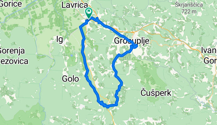
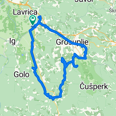
Šk-turjak-grosuplje-šk
A cycling route starting in Škofljica, Občina Škofljica, Slovenia.
Overview
About this route
- 1 h 37 min
- Duration
- 40.3 km
- Distance
- 340 m
- Ascent
- 397 m
- Descent
- 25 km/h
- Avg. speed
- 553 m
- Max. altitude

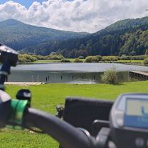
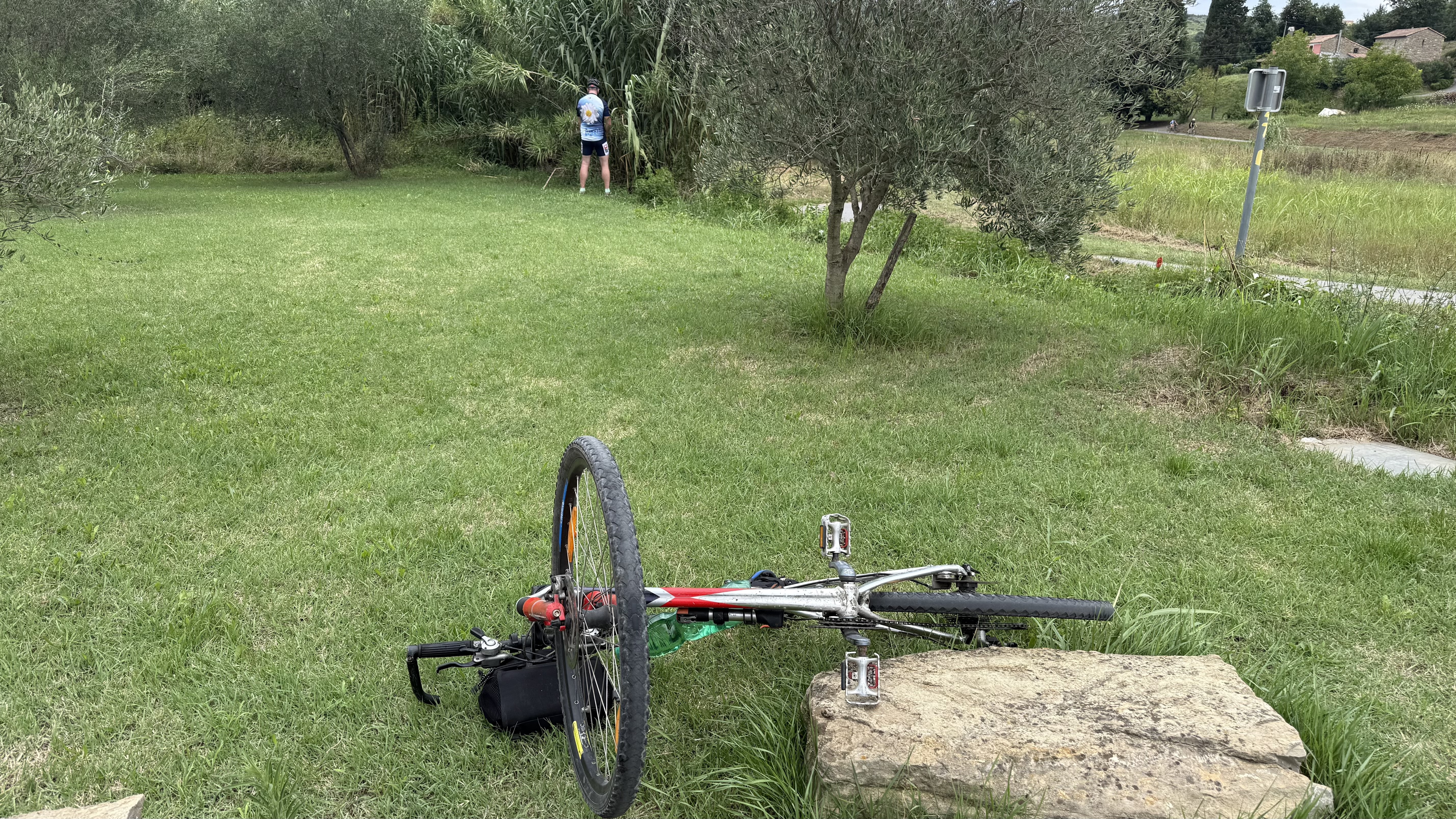
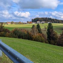
Route photos


Route quality
Waytypes & surfaces along the route
Waytypes
Quiet road
15.3 km
(38 %)
Road
13.3 km
(33 %)
Surfaces
Paved
29.8 km
(74 %)
Unpaved
1.2 km
(3 %)
Asphalt
29.8 km
(74 %)
Gravel
1.2 km
(3 %)
Undefined
9.3 km
(23 %)
Continue with Bikemap
Use, edit, or download this cycling route
You would like to ride Šk-turjak-grosuplje-šk or customize it for your own trip? Here is what you can do with this Bikemap route:
Free features
- Save this route as favorite or in collections
- Copy & plan your own version of this route
- Sync your route with Garmin or Wahoo
Premium features
Free trial for 3 days, or one-time payment. More about Bikemap Premium.
- Navigate this route on iOS & Android
- Export a GPX / KML file of this route
- Create your custom printout (try it for free)
- Download this route for offline navigation
Discover more Premium features.
Get Bikemap PremiumFrom our community
Other popular routes starting in Škofljica
 pot gradov_Grosuplje
- Distance
- 52.5 km
- Ascent
- 511 m
- Descent
- 511 m
- Location
- Škofljica, Občina Škofljica, Slovenia
 šk., Podpeč, Vič ,šk
- Distance
- 42.8 km
- Ascent
- 66 m
- Descent
- 120 m
- Location
- Škofljica, Občina Škofljica, Slovenia
 Škofljica-Podpeč-Vrhnika-Škofljica
- Distance
- 66.5 km
- Ascent
- 98 m
- Descent
- 157 m
- Location
- Škofljica, Občina Škofljica, Slovenia
 Zalog pri Škofljici, Škofljica to Ulica Slanik, Lovrečica
- Distance
- 166.1 km
- Ascent
- 1,311 m
- Descent
- 1,649 m
- Location
- Škofljica, Občina Škofljica, Slovenia
 Škofljica-Ig-Turjak-Grosuplje-Šk
- Distance
- 48.2 km
- Ascent
- 365 m
- Descent
- 360 m
- Location
- Škofljica, Občina Škofljica, Slovenia
 Pot na Rašico
- Distance
- 39.5 km
- Ascent
- 446 m
- Descent
- 446 m
- Location
- Škofljica, Občina Škofljica, Slovenia
 Južnomočvirska
- Distance
- 117.3 km
- Ascent
- 1,105 m
- Descent
- 1,101 m
- Location
- Škofljica, Občina Škofljica, Slovenia
 Šk-turjak-grosuplje-šk
- Distance
- 40.3 km
- Ascent
- 340 m
- Descent
- 397 m
- Location
- Škofljica, Občina Škofljica, Slovenia
Open it in the app