

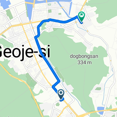
Route from Jangpyeong-dong
A cycling route starting in Sinhyeon, Gyeongsangnam-do, South Korea.
Overview
About this route
- 1 h 6 min
- Duration
- 17.2 km
- Distance
- 180 m
- Ascent
- 180 m
- Descent
- 15.8 km/h
- Avg. speed
- 111 m
- Max. altitude

Continue with Bikemap
Use, edit, or download this cycling route
You would like to ride Route from Jangpyeong-dong or customize it for your own trip? Here is what you can do with this Bikemap route:
Free features
- Save this route as favorite or in collections
- Copy & plan your own version of this route
- Sync your route with Garmin or Wahoo
Premium features
Free trial for 3 days, or one-time payment. More about Bikemap Premium.
- Navigate this route on iOS & Android
- Export a GPX / KML file of this route
- Create your custom printout (try it for free)
- Download this route for offline navigation
Discover more Premium features.
Get Bikemap PremiumFrom our community
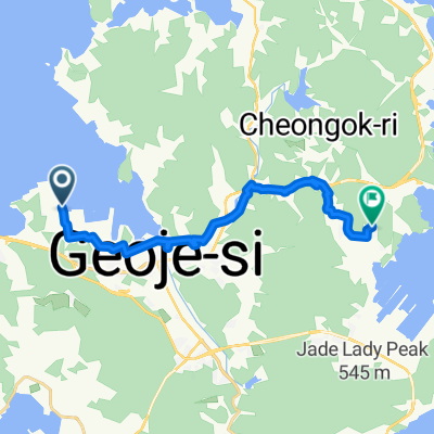
Other popular routes starting in Sinhyeon
 상동동, 거제시에서 수양로, 거제시까지
- Distance
- 4.7 km
- Ascent
- 3 m
- Descent
- 39 m
- Location
- Sinhyeon, Gyeongsangnam-do, South Korea
 고현동, 거제시에서 고현동, 거제시까지
- Distance
- 17.9 km
- Ascent
- 181 m
- Descent
- 180 m
- Location
- Sinhyeon, Gyeongsangnam-do, South Korea
 거제도 full-여차몽돌 포함 통영
- Distance
- 91 km
- Ascent
- 882 m
- Descent
- 877 m
- Location
- Sinhyeon, Gyeongsangnam-do, South Korea
 거제 북부
거제 북부- Distance
- 53.8 km
- Ascent
- 662 m
- Descent
- 662 m
- Location
- Sinhyeon, Gyeongsangnam-do, South Korea
 Geojemyeon
- Distance
- 28.5 km
- Ascent
- 1,067 m
- Descent
- 1,061 m
- Location
- Sinhyeon, Gyeongsangnam-do, South Korea
 Route from Jangpyeong-dong
- Distance
- 17.2 km
- Ascent
- 180 m
- Descent
- 180 m
- Location
- Sinhyeon, Gyeongsangnam-do, South Korea
 Moutain Pass
- Distance
- 42.1 km
- Ascent
- 1,051 m
- Descent
- 902 m
- Location
- Sinhyeon, Gyeongsangnam-do, South Korea
 okpo route
- Distance
- 15.1 km
- Ascent
- 419 m
- Descent
- 415 m
- Location
- Sinhyeon, Gyeongsangnam-do, South Korea
Open it in the app