MD 2026 "ébauche"68kms
- 67.6 km
- 202 m
- 203 m
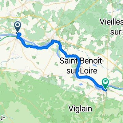
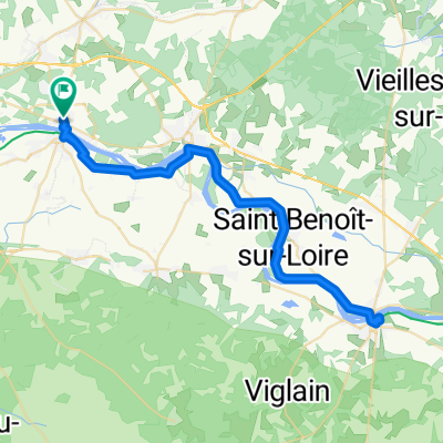
- Jargeau, Centre-Val de Loire, France
A cycling route starting in Jargeau, Centre-Val de Loire, France.
Overview
Embark on an exhilarating cycling adventure along this 63.3 km route, perfect for those seeking a blend of challenge and scenic beauty. The journey begins with a gradual ascent of 96 meters, setting the stage for an invigorating ride. As you pedal forward, enjoy a descent of 100 meters, providing a refreshing change of pace. The route reaches its peak at a maximum elevation of 129 meters, offering breathtaking views and a rewarding sense of accomplishment. Whether you're a seasoned cyclist or a fitness enthusiast, this route promises an engaging experience with its mix of climbs and descents.
AI generated
created this 2 months ago
Route quality
Quiet road
36.7 km
(58 %)
Cycleway
13.9 km
(22 %)
Paved
46.2 km
(73 %)
Unpaved
8.9 km
(14 %)
Asphalt
38.6 km
(61 %)
Gravel
8.9 km
(14 %)
Continue with Bikemap
You would like to ride Route nach Rue de la Grange, Saint-Denis-de-l'Hôtel or customize it for your own trip? Here is what you can do with this Bikemap route:
Free trial for 3 days, or one-time payment. More about Bikemap Premium.
Discover more Premium features.
Get Bikemap PremiumFrom our community
Open it in the app