

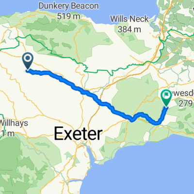
Route to Chard 2
A cycling route starting in South Molton, England, United Kingdom.
Overview
About this route
- 5 h 14 min
- Duration
- 83.4 km
- Distance
- 1,073 m
- Ascent
- 1,067 m
- Descent
- 15.9 km/h
- Avg. speed
- 262 m
- Max. altitude

Route quality
Waytypes & surfaces along the route
Waytypes
Quiet road
63.4 km
(76 %)
Cycleway
5.8 km
(7 %)
Surfaces
Paved
6.7 km
(8 %)
Unpaved
9.2 km
(11 %)
Gravel
9.2 km
(11 %)
Asphalt
5.8 km
(7 %)
Continue with Bikemap
Use, edit, or download this cycling route
You would like to ride Route to Chard 2 or customize it for your own trip? Here is what you can do with this Bikemap route:
Free features
- Save this route as favorite or in collections
- Copy & plan your own version of this route
- Split it into stages to create a multi-day tour
- Sync your route with Garmin or Wahoo
Premium features
Free trial for 3 days, or one-time payment. More about Bikemap Premium.
- Navigate this route on iOS & Android
- Export a GPX / KML file of this route
- Create your custom printout (try it for free)
- Download this route for offline navigation
Discover more Premium features.
Get Bikemap PremiumFrom our community
Other popular routes starting in South Molton
 Route to Crossland, Georgenympton Road, South Molton
- Distance
- 4.9 km
- Ascent
- 88 m
- Descent
- 92 m
- Location
- South Molton, England, United Kingdom
 2020 Babes on Bicycles Exmoor option 3
- Distance
- 105.5 km
- Ascent
- 1,351 m
- Descent
- 1,351 m
- Location
- South Molton, England, United Kingdom
 umberleigh Bideford
- Distance
- 34 km
- Ascent
- 369 m
- Descent
- 477 m
- Location
- South Molton, England, United Kingdom
 EXE PLAIN, por Simonsbath
- Distance
- 3.1 km
- Ascent
- 151 m
- Descent
- 36 m
- Location
- South Molton, England, United Kingdom
 George Nympton to Chard
- Distance
- 87.3 km
- Ascent
- 1,291 m
- Descent
- 1,285 m
- Location
- South Molton, England, United Kingdom
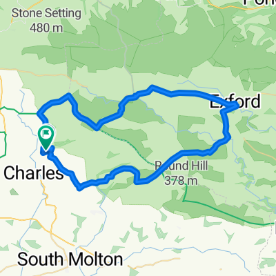 Exmoor loop
- Distance
- 48.1 km
- Ascent
- 749 m
- Descent
- 750 m
- Location
- South Molton, England, United Kingdom
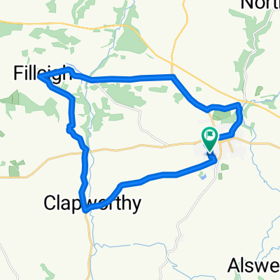 18km filleigh
- Distance
- 18.1 km
- Ascent
- 202 m
- Descent
- 199 m
- Location
- South Molton, England, United Kingdom
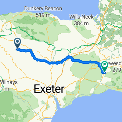 Route to Chard 2
- Distance
- 83.4 km
- Ascent
- 1,073 m
- Descent
- 1,067 m
- Location
- South Molton, England, United Kingdom
Open it in the app