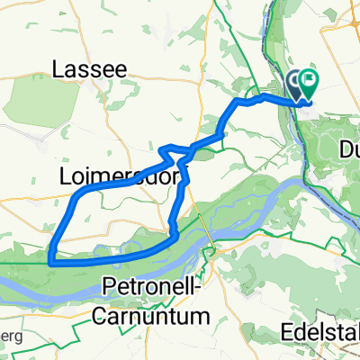
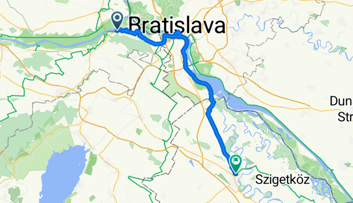
Schwarzeckerweg nach Hild János tér
A cycling route starting in Hainburg an der Donau, Lower Austria, Austria.
Overview
About this route
- 3 h 16 min
- Duration
- 57.9 km
- Distance
- 119 m
- Ascent
- 157 m
- Descent
- 17.8 km/h
- Avg. speed
- 174 m
- Max. altitude
Route quality
Waytypes & surfaces along the route
Waytypes
Cycleway
42.3 km
(73 %)
Quiet road
7.5 km
(13 %)
Surfaces
Paved
54.4 km
(94 %)
Asphalt
48.6 km
(84 %)
Concrete
5.2 km
(9 %)
Continue with Bikemap
Use, edit, or download this cycling route
You would like to ride Schwarzeckerweg nach Hild János tér or customize it for your own trip? Here is what you can do with this Bikemap route:
Free features
- Save this route as favorite or in collections
- Copy & plan your own version of this route
- Sync your route with Garmin or Wahoo
Premium features
Free trial for 3 days, or one-time payment. More about Bikemap Premium.
- Navigate this route on iOS & Android
- Export a GPX / KML file of this route
- Create your custom printout (try it for free)
- Download this route for offline navigation
Discover more Premium features.
Get Bikemap PremiumFrom our community
Other popular routes starting in Hainburg an der Donau
Deutch-Wagram_máj_ 2018- Distance
- 83.4 km
- Ascent
- 505 m
- Descent
- 507 m
- Location
- Hainburg an der Donau, Lower Austria, Austria
DNV - Lozorno - Biely Kríž - Kačín - DNV- Distance
- 68.8 km
- Ascent
- 624 m
- Descent
- 552 m
- Location
- Hainburg an der Donau, Lower Austria, Austria
Start Donau Cafe Hainburg - Hainburg an der Donau Ungartor nach Stopfenreuther Arm- Distance
- 49.7 km
- Ascent
- 212 m
- Descent
- 209 m
- Location
- Hainburg an der Donau, Lower Austria, Austria
Runde Hainburg an der Donau/Bahnhof über Haslau- Distance
- 52.6 km
- Ascent
- 160 m
- Descent
- 184 m
- Location
- Hainburg an der Donau, Lower Austria, Austria
Bratislava do Istrijská- Distance
- 32 km
- Ascent
- 248 m
- Descent
- 237 m
- Location
- Hainburg an der Donau, Lower Austria, Austria
Schwarzeckerweg nach Hild János tér- Distance
- 57.9 km
- Ascent
- 119 m
- Descent
- 157 m
- Location
- Hainburg an der Donau, Lower Austria, Austria
Энгельхартштеттен до Hummelstraße, Хайнбург-ан-дер-Донау- Distance
- 21.5 km
- Ascent
- 32 m
- Descent
- 35 m
- Location
- Hainburg an der Donau, Lower Austria, Austria
Donau_Etappe_10_Hainburg-Wien- Distance
- 51.3 km
- Ascent
- 129 m
- Descent
- 96 m
- Location
- Hainburg an der Donau, Lower Austria, Austria
Open it in the app

