

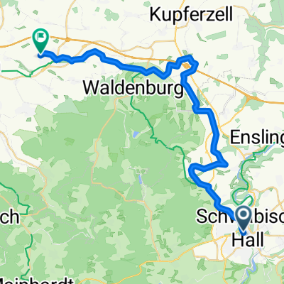
Lemberg und 2 Seen
A cycling route starting in Schwäbisch Hall, Baden-Wurttemberg, Germany.
Overview
About this route
The route takes you up to Lemberg with great trails and superb views. From there, it continues down into the valley via Gnadental, passing the Sailach reservoir and Neumühl lake. On the way back to Hall, there are a few goodies in the forest ;-), which should be ridden carefully or pushed when the ground is wet.
Hardly any asphalt, mainly forest paths and unpaved tracks.
- -:--
- Duration
- 39.1 km
- Distance
- 484 m
- Ascent
- 484 m
- Descent
- ---
- Avg. speed
- ---
- Max. altitude
Continue with Bikemap
Use, edit, or download this cycling route
You would like to ride Lemberg und 2 Seen or customize it for your own trip? Here is what you can do with this Bikemap route:
Free features
- Save this route as favorite or in collections
- Copy & plan your own version of this route
- Sync your route with Garmin or Wahoo
Premium features
Free trial for 3 days, or one-time payment. More about Bikemap Premium.
- Navigate this route on iOS & Android
- Export a GPX / KML file of this route
- Create your custom printout (try it for free)
- Download this route for offline navigation
Discover more Premium features.
Get Bikemap PremiumFrom our community
Other popular routes starting in Schwäbisch Hall
 Haller 2-Fluesse-Tour
- Distance
- 36.8 km
- Ascent
- 328 m
- Descent
- 328 m
- Location
- Schwäbisch Hall, Baden-Wurttemberg, Germany
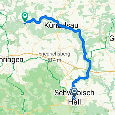
 Von Schwäbisch Hall bis Neuenstein
- Distance
- 28.1 km
- Ascent
- 297 m
- Descent
- 317 m
- Location
- Schwäbisch Hall, Baden-Wurttemberg, Germany
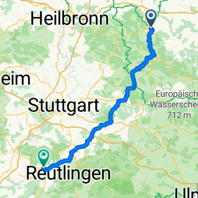 Route nach Tübingen
- Distance
- 118.3 km
- Ascent
- 1,592 m
- Descent
- 1,589 m
- Location
- Schwäbisch Hall, Baden-Wurttemberg, Germany
 Schwäbisch Hall - Forchtenberg 45km
- Distance
- 45.2 km
- Ascent
- 707 m
- Descent
- 800 m
- Location
- Schwäbisch Hall, Baden-Wurttemberg, Germany
 Lemberg und 2 Seen
- Distance
- 39.1 km
- Ascent
- 484 m
- Descent
- 484 m
- Location
- Schwäbisch Hall, Baden-Wurttemberg, Germany
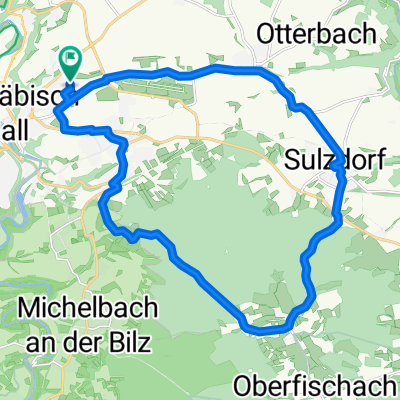 Sulzdorf 1
- Distance
- 23.4 km
- Ascent
- 261 m
- Descent
- 254 m
- Location
- Schwäbisch Hall, Baden-Wurttemberg, Germany
 Wunstorf - Schwäbisch Hall
- Distance
- 636.8 km
- Ascent
- 955 m
- Descent
- 1,284 m
- Location
- Schwäbisch Hall, Baden-Wurttemberg, Germany
 Schwäbisch Hall-Rothenburg
- Distance
- 58.7 km
- Ascent
- 504 m
- Descent
- 456 m
- Location
- Schwäbisch Hall, Baden-Wurttemberg, Germany
Open it in the app