
La Ruta de la Plata v1 (road)
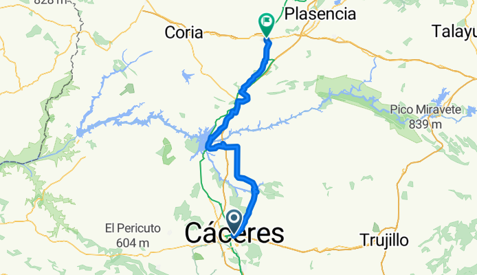
From Cáceres to Galisteo
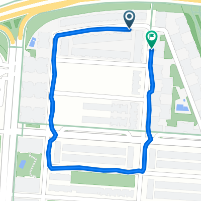
A cycling route starting in Cáceres, Extremadura, Spain.
Overview
About this route
- 6 h 27 min
- Duration
- 88 km
- Distance
- 1,316 m
- Ascent
- 1,475 m
- Descent
- 13.6 km/h
- Avg. speed
- 661 m
- Max. altitude

Part of
La Ruta de la Plata v1 (road)
14 stages
Route quality
Waytypes & surfaces along the route
Waytypes
Road
37 km
(42 %)
Track
31.7 km
(36 %)
Surfaces
Paved
28.2 km
(32 %)
Unpaved
10.6 km
(12 %)
Paved (undefined)
21.1 km
(24 %)
Asphalt
6.2 km
(7 %)
Continue with Bikemap
Use, edit, or download this cycling route
You would like to ride From Cáceres to Galisteo or customize it for your own trip? Here is what you can do with this Bikemap route:
Free features
- Save this route as favorite or in collections
- Copy & plan your own version of this route
- Split it into stages to create a multi-day tour
- Sync your route with Garmin or Wahoo
Premium features
Free trial for 3 days, or one-time payment. More about Bikemap Premium.
- Navigate this route on iOS & Android
- Export a GPX / KML file of this route
- Create your custom printout (try it for free)
- Download this route for offline navigation
Discover more Premium features.
Get Bikemap PremiumFrom our community
Other popular routes starting in Cáceres
 6VP Cáceres - Carcaboso 98km
- Distance
- 98 km
- Ascent
- 1,351 m
- Descent
- 1,518 m
- Location
- Cáceres, Extremadura, Spain
 CASAR- RIBEROS MONROY
- Distance
- 73.6 km
- Ascent
- 543 m
- Descent
- 538 m
- Location
- Cáceres, Extremadura, Spain
 Cáceres - Ermita de San Jorge
- Distance
- 38.3 km
- Ascent
- 360 m
- Descent
- 337 m
- Location
- Cáceres, Extremadura, Spain
 CC - Casar - Guadilova - Sierra Fuentes - CC
- Distance
- 53.1 km
- Ascent
- 528 m
- Descent
- 535 m
- Location
- Cáceres, Extremadura, Spain
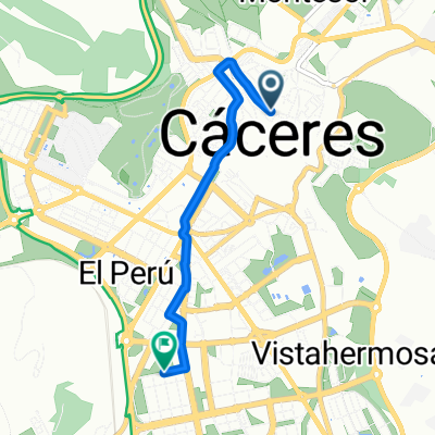 Plaza Mayor, Caceres to Oasis del Sur, Caceres
- Distance
- 3.7 km
- Ascent
- 55 m
- Descent
- 52 m
- Location
- Cáceres, Extremadura, Spain
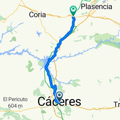 Ruta de la Plata - Caceres-Galisteo
- Distance
- 77.1 km
- Ascent
- 924 m
- Descent
- 1,059 m
- Location
- Cáceres, Extremadura, Spain
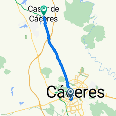 Avenida de Alemania, Cáceres a Calle Larga Alta, Casar de Cáceres
- Distance
- 12.4 km
- Ascent
- 93 m
- Descent
- 193 m
- Location
- Cáceres, Extremadura, Spain
 Calle Cordel de Merinas, Cáceres a Calle Cordel de Merinas, Cáceres
- Distance
- 1.1 km
- Ascent
- 11 m
- Descent
- 10 m
- Location
- Cáceres, Extremadura, Spain
Open it in the app