
Sontag 19.10.25
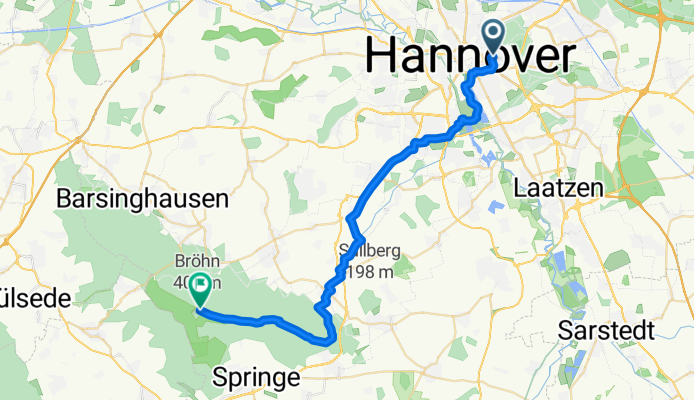
Hannover, Springe, Annaturm
A cycling route starting in Hanover, Lower Saxony, Germany.
Overview
About this route
- 2 h 21 min
- Duration
- 33.5 km
- Distance
- 459 m
- Ascent
- 117 m
- Descent
- 14.3 km/h
- Avg. speed
- 406 m
- Max. altitude

Part of
Sontag 19.10.25
3 stages
Route quality
Waytypes & surfaces along the route
Waytypes
Track
11.7 km
(35 %)
Quiet road
8 km
(24 %)
Surfaces
Paved
17.8 km
(53 %)
Unpaved
11.1 km
(33 %)
Asphalt
17.1 km
(51 %)
Gravel
10.1 km
(30 %)
Continue with Bikemap
Use, edit, or download this cycling route
You would like to ride Hannover, Springe, Annaturm or customize it for your own trip? Here is what you can do with this Bikemap route:
Free features
- Save this route as favorite or in collections
- Copy & plan your own version of this route
- Sync your route with Garmin or Wahoo
Premium features
Free trial for 3 days, or one-time payment. More about Bikemap Premium.
- Navigate this route on iOS & Android
- Export a GPX / KML file of this route
- Create your custom printout (try it for free)
- Download this route for offline navigation
Discover more Premium features.
Get Bikemap PremiumFrom our community
Other popular routes starting in Hanover
 BRT2017-FR: Knappschaft - Zum Steinhuder Meer - RTF des BRT2017 in Hannover - 104 km Strecke
- Distance
- 108.6 km
- Ascent
- 223 m
- Descent
- 225 m
- Location
- Hanover, Lower Saxony, Germany
 Eisenbahnrunde
- Distance
- 52.3 km
- Ascent
- 128 m
- Descent
- 129 m
- Location
- Hanover, Lower Saxony, Germany
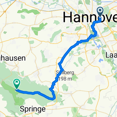
 Katalonienweg, Hannover nach Zur Sophienhöhe, Springe
- Distance
- 27.6 km
- Ascent
- 257 m
- Descent
- 187 m
- Location
- Hanover, Lower Saxony, Germany
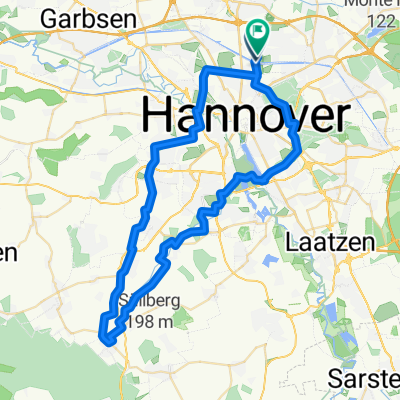
 um und über den Deister
- Distance
- 76.6 km
- Ascent
- 378 m
- Descent
- 381 m
- Location
- Hanover, Lower Saxony, Germany
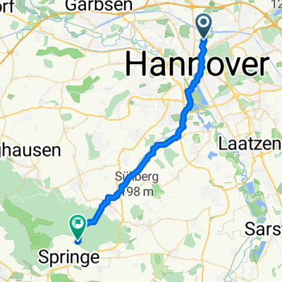
 Hannover, Springe, Annaturm
- Distance
- 33.5 km
- Ascent
- 459 m
- Descent
- 117 m
- Location
- Hanover, Lower Saxony, Germany
 W98 Radtour 2026
- Distance
- 54.8 km
- Ascent
- 160 m
- Descent
- 159 m
- Location
- Hanover, Lower Saxony, Germany
 Steinhuder Meer
- Distance
- 66.4 km
- Ascent
- 89 m
- Descent
- 100 m
- Location
- Hanover, Lower Saxony, Germany
 Am Annateich, Hannover nach Haubergstraße 17, Hannover
- Distance
- 14.3 km
- Ascent
- 1,004 m
- Descent
- 977 m
- Location
- Hanover, Lower Saxony, Germany
Open it in the app