
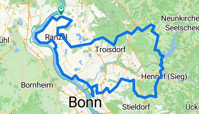
Zündorf-Langel-Wahnbachtalsperre-Hennef-St.Augustin-Mondorf-Zündorf
A cycling route starting in Porz am Rhein, North Rhine-Westphalia, Germany.
Overview
About this route
- -:--
- Duration
- 86 km
- Distance
- 364 m
- Ascent
- 364 m
- Descent
- ---
- Avg. speed
- ---
- Avg. speed
Route quality
Waytypes & surfaces along the route
Waytypes
Quiet road
23.2 km
(27 %)
Road
20.5 km
(24 %)
Surfaces
Paved
80.7 km
(94 %)
Unpaved
2 km
(2 %)
Asphalt
77 km
(89 %)
Paving stones
1.8 km
(2 %)
Continue with Bikemap
Use, edit, or download this cycling route
You would like to ride Zündorf-Langel-Wahnbachtalsperre-Hennef-St.Augustin-Mondorf-Zündorf or customize it for your own trip? Here is what you can do with this Bikemap route:
Free features
- Save this route as favorite or in collections
- Copy & plan your own version of this route
- Split it into stages to create a multi-day tour
- Sync your route with Garmin or Wahoo
Premium features
Free trial for 3 days, or one-time payment. More about Bikemap Premium.
- Navigate this route on iOS & Android
- Export a GPX / KML file of this route
- Create your custom printout (try it for free)
- Download this route for offline navigation
Discover more Premium features.
Get Bikemap PremiumFrom our community
Other popular routes starting in Porz am Rhein
 ride from 3 October 11:42
- Distance
- 10.9 km
- Ascent
- 58 m
- Descent
- 55 m
- Location
- Porz am Rhein, North Rhine-Westphalia, Germany
 RTC Rodenkirchen RTF 150er Strecke Planung 2015
- Distance
- 139.2 km
- Ascent
- 748 m
- Descent
- 745 m
- Location
- Porz am Rhein, North Rhine-Westphalia, Germany
 Von Köln bis Aschaffenburg
- Distance
- 279.7 km
- Ascent
- 1,631 m
- Descent
- 1,556 m
- Location
- Porz am Rhein, North Rhine-Westphalia, Germany
 RTC Rodenkichen RTF Familientour 16 km
- Distance
- 15.9 km
- Ascent
- ---
- Descent
- ---
- Location
- Porz am Rhein, North Rhine-Westphalia, Germany
 Pz-Zündorf - WahnbachTS - Sieg - Troisdorf - Zurück
- Distance
- 62.7 km
- Ascent
- 312 m
- Descent
- 312 m
- Location
- Porz am Rhein, North Rhine-Westphalia, Germany
 Rodenkirchener Eifelmarathon Planung 2015
- Distance
- 202.4 km
- Ascent
- 1,430 m
- Descent
- 1,428 m
- Location
- Porz am Rhein, North Rhine-Westphalia, Germany
 Rodenkirchener Eifelmarathon Alternative 2013
- Distance
- 204 km
- Ascent
- 1,480 m
- Descent
- 1,479 m
- Location
- Porz am Rhein, North Rhine-Westphalia, Germany
 1. Etappe: Köln-Porz - Oberlahnstein
- Distance
- 98.8 km
- Ascent
- 109 m
- Descent
- 85 m
- Location
- Porz am Rhein, North Rhine-Westphalia, Germany
Open it in the app