
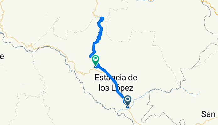
Tequila bike | Barranca del Oro
- 50.3 km
- 1,249 m
- 1,249 m
- Amatlán de Cañas, Nayarit, Mexico
📍ʀᴜᴛᴀ: Amatlán de Cañas - Barranca del oro climb - El Rosario🚴♂️ Departs: 9:15 am⏱️ Duration: 2:15 hours🛣️ Distance: 50.3 km⛰️ Elevation: 1,314 meters🥵 Degree of Difficulty: Hard🔝 Climb: 𝟣ᴘ | 13.74ᴋ | 871ᴍ | 6.1% | ᴄᴀᴛ. ʜᴄ - 📍ʀᴜᴛᴀ: Amatlán de Cañas - Barranca del oro climb - El Rosario🚴♂️ Departs: 9:15 am⏱️ Duration: 2:15 hours🛣️ Distance: 50.3 km⛰️ Elevation: 1,314 meters🥵 Degree of Difficulty: Hard🔝 Climb: 𝟣ᴘ | 13.74ᴋ | 871ᴍ | 6.1% | ᴄᴀᴛ. ʜᴄ


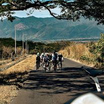
Quiet road
6 km12 %Undefined
44.3 km88 %Free trial for 3 days, or one-time payment. More about Bikemap Premium.
Discover more Premium features.
Get Bikemap PremiumOpen it in the app