
la paseada 4
- 21.8 km
- 159 m
- 169 m
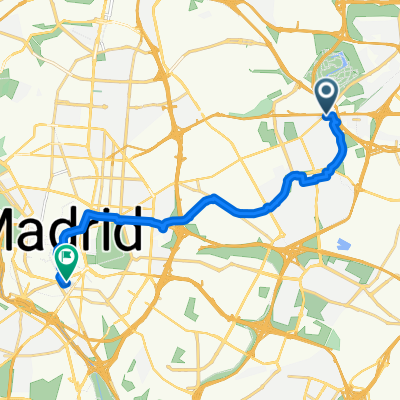
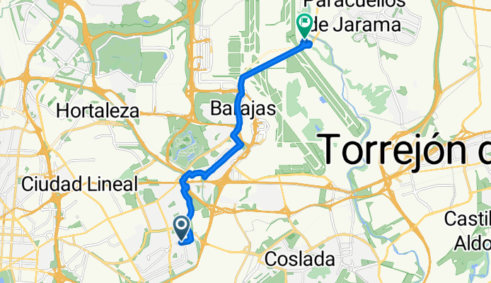
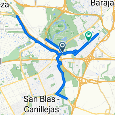
- San Blas-Canillejas, Madrid, Spain
A cycling route starting in San Blas-Canillejas, Madrid, Spain.
Overview
created this 2 months ago
Route quality
Cycleway
4.8 km
(37 %)
Quiet road
1 km
(8 %)
Paved
4.4 km
(34 %)
Asphalt
3.6 km
(28 %)
Paved (undefined)
0.6 km
(5 %)
Continue with Bikemap
You would like to ride De Calle de Julia García Boután a Calle Miguel de Cervantes or customize it for your own trip? Here is what you can do with this Bikemap route:
Free trial for 3 days, or one-time payment. More about Bikemap Premium.
Discover more Premium features.
Get Bikemap PremiumFrom our community
Open it in the app