
Ahr-Radweg
- 131.3 km
- 1,695 m
- 2,120 m
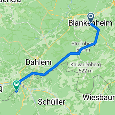
- Blankenheim, North Rhine-Westphalia, Germany
A cycling route starting in Blankenheim, North Rhine-Westphalia, Germany.
Overview
created this 2 months ago


Route quality
Track
9.1 km
(46 %)
Quiet road
4.4 km
(22 %)
Paved
12.7 km
(64 %)
Unpaved
3.6 km
(18 %)
Asphalt
10.3 km
(52 %)
Paved (undefined)
2.4 km
(12 %)
Continue with Bikemap
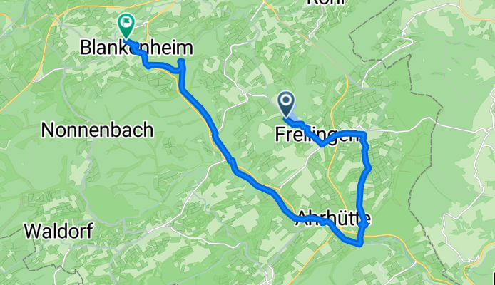
You would like to ride Am Freilinger See nach K69 or customize it for your own trip? Here is what you can do with this Bikemap route:
Free trial for 3 days, or one-time payment. More about Bikemap Premium.
Discover more Premium features.
Get Bikemap PremiumFrom our community
Open it in the app