
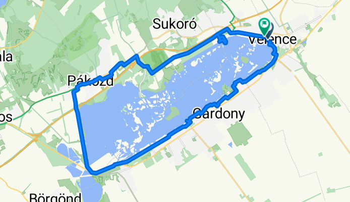
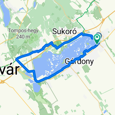
Tél utca - Tél utca
A cycling route starting in Velence, Fejér, Hungary.
Overview
About this route
- 4 h 42 min
- Duration
- 32.1 km
- Distance
- 492 m
- Ascent
- 536 m
- Descent
- 6.8 km/h
- Avg. speed
- 154 m
- Max. altitude
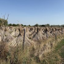
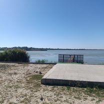
Route photos


Route quality
Waytypes & surfaces along the route
Waytypes
Cycleway
13.5 km
(42 %)
Quiet road
9.9 km
(31 %)
Surfaces
Paved
25.7 km
(80 %)
Asphalt
24.4 km
(76 %)
Paved (undefined)
1.3 km
(4 %)
Undefined
6.4 km
(20 %)
Continue with Bikemap
Use, edit, or download this cycling route
You would like to ride Tél utca - Tél utca or customize it for your own trip? Here is what you can do with this Bikemap route:
Free features
- Save this route as favorite or in collections
- Copy & plan your own version of this route
- Sync your route with Garmin or Wahoo
Premium features
Free trial for 3 days, or one-time payment. More about Bikemap Premium.
- Navigate this route on iOS & Android
- Export a GPX / KML file of this route
- Create your custom printout (try it for free)
- Download this route for offline navigation
Discover more Premium features.
Get Bikemap PremiumFrom our community
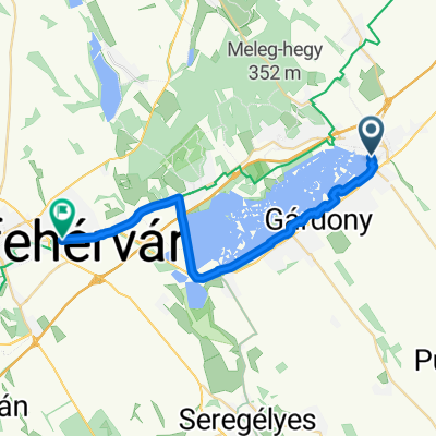
Other popular routes starting in Velence
 Radnóti utca, Velence - Radnóti utca, Velence
- Distance
- 31.7 km
- Ascent
- 231 m
- Descent
- 236 m
- Location
- Velence, Fejér, Hungary
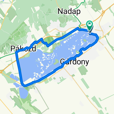 Velencei tó 2025.11.01. új bringa
- Distance
- 29.4 km
- Ascent
- 74 m
- Descent
- 121 m
- Location
- Velence, Fejér, Hungary
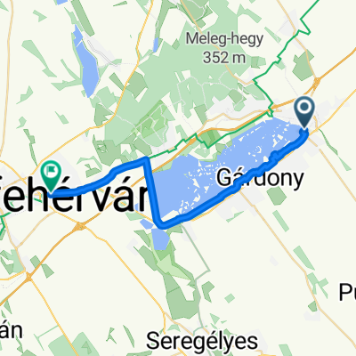 Velence - Dolovai sor, Székesfehérvár
- Distance
- 24.5 km
- Ascent
- 88 m
- Descent
- 52 m
- Location
- Velence, Fejér, Hungary
 Velence/Európa park - Béke utca
- Distance
- 33.2 km
- Ascent
- 71 m
- Descent
- 74 m
- Location
- Velence, Fejér, Hungary
 Panoráma út - Evezős út
- Distance
- 32.8 km
- Ascent
- 63 m
- Descent
- 134 m
- Location
- Velence, Fejér, Hungary
 Velence - Dolovai sor, Székesfehérvár
- Distance
- 23.9 km
- Ascent
- 84 m
- Descent
- 48 m
- Location
- Velence, Fejér, Hungary
 Tópart utca, Velence - Dolovai sor, Székesfehérvár
- Distance
- 24.3 km
- Ascent
- 80 m
- Descent
- 47 m
- Location
- Velence, Fejér, Hungary
 Tél utca - Tél utca
- Distance
- 32.1 km
- Ascent
- 492 m
- Descent
- 536 m
- Location
- Velence, Fejér, Hungary
Open it in the app