
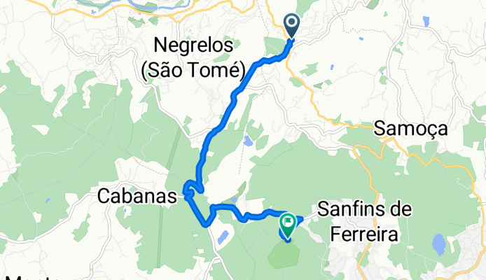
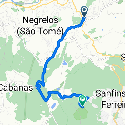
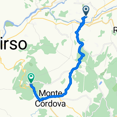
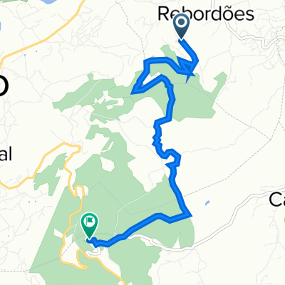
Route to Citania de Sanfins
A cycling route starting in Negrelos, Porto District, Portugal.
Overview
About this route
- 36 min
- Duration
- 6.9 km
- Distance
- 385 m
- Ascent
- 67 m
- Descent
- 11.5 km/h
- Avg. speed
- 562 m
- Max. altitude
Route quality
Waytypes & surfaces along the route
Waytypes
Road
3.4 km
(49 %)
Quiet road
2 km
(29 %)
Surfaces
Paved
1.3 km
(19 %)
Unpaved
0.3 km
(4 %)
Asphalt
1.3 km
(19 %)
Ground
0.1 km
(2 %)
Continue with Bikemap
Use, edit, or download this cycling route
You would like to ride Route to Citania de Sanfins or customize it for your own trip? Here is what you can do with this Bikemap route:
Free features
- Save this route as favorite or in collections
- Copy & plan your own version of this route
- Sync your route with Garmin or Wahoo
Premium features
Free trial for 3 days, or one-time payment. More about Bikemap Premium.
- Navigate this route on iOS & Android
- Export a GPX / KML file of this route
- Create your custom printout (try it for free)
- Download this route for offline navigation
Discover more Premium features.
Get Bikemap PremiumFrom our community
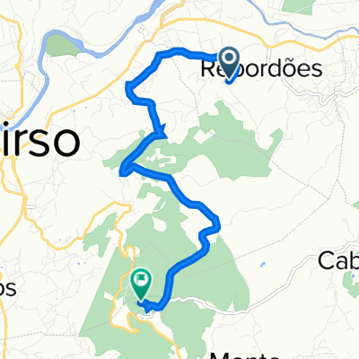
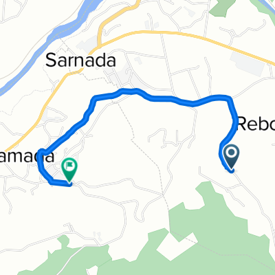
Other popular routes starting in Negrelos
 Route to Citania de Sanfins
- Distance
- 6.9 km
- Ascent
- 385 m
- Descent
- 67 m
- Location
- Negrelos, Porto District, Portugal
 De Unnamed Road a Rua Lerim 10, Água Longa
- Distance
- 13.2 km
- Ascent
- 132 m
- Descent
- 434 m
- Location
- Negrelos, Porto District, Portugal
 De Rua Rego 712, Roriz a Rua Rego 756, Roriz
- Distance
- 0 km
- Ascent
- 0 m
- Descent
- 0 m
- Location
- Negrelos, Porto District, Portugal
 vila das aves nossa sra acuncao
- Distance
- 8.6 km
- Ascent
- 461 m
- Descent
- 120 m
- Location
- Negrelos, Porto District, Portugal
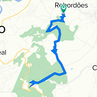 Rua de São Bento 605, Rebordões a Rua de São Bento 605, Rebordões
- Distance
- 11.4 km
- Ascent
- 357 m
- Descent
- 357 m
- Location
- Negrelos, Porto District, Portugal
 41.351° N -8.435° W a 41.325° N -8.448° W
- Distance
- 6.9 km
- Ascent
- 358 m
- Descent
- 51 m
- Location
- Negrelos, Porto District, Portugal
 Recovered Route
- Distance
- 2.5 km
- Ascent
- 59 m
- Descent
- 58 m
- Location
- Negrelos, Porto District, Portugal
 41.349° N -8.433° W a 41.325° N -8.448° W
- Distance
- 6.3 km
- Ascent
- 355 m
- Descent
- 56 m
- Location
- Negrelos, Porto District, Portugal
Open it in the app