- 27.8 km
- 211 m
- 217 m
- Pontefract, England, United Kingdom
Norton
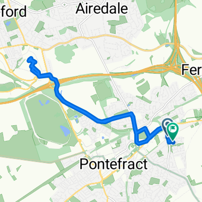
A cycling route starting in Pontefract, England, United Kingdom.
Overview
About this route
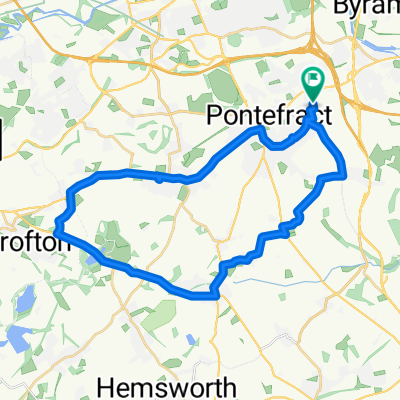
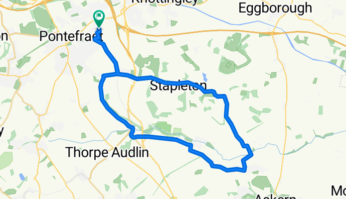
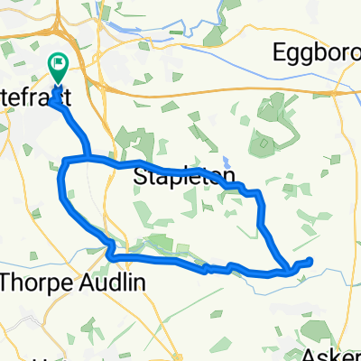
Embark on a thrilling 28.1 km cycling adventure that challenges and rewards with its varied terrain.
Begin your journey at the start point, where the path unfolds with a gentle 189-meter ascent, setting the stage for an invigorating ride.
As you pedal onward, you'll encounter a descent of 190 meters, providing a dynamic contrast to the climb.
The ride culminates at a maximum elevation of 60 meters, offering breathtaking views and a well-earned sense of accomplishment.
Whether you're seeking a vigorous workout or a scenic exploration, this route offers something for every cyclist.
AI generated
- 1 h 35 min
- Duration
- 28.1 km
- Distance
- 190 m
- Ascent
- 190 m
- Descent
- 17.8 km/h
- Avg. speed
- 61 m
- Max. altitude
created this 2 months ago
Route quality
Waytypes & surfaces along the route
Waytypes
Road
16.9 km
(60 %)
Quiet road
10.4 km
(37 %)
Undefined
0.8 km
(3 %)
Surfaces
Paved
6.5 km
(23 %)
Asphalt
6.5 km
(23 %)
Undefined
21.7 km
(77 %)
Continue with Bikemap
Use, edit, or download this cycling route
You would like to ride Norton or customize it for your own trip? Here is what you can do with this Bikemap route:
Free features
- Save this route as favorite or in collections
- Copy & plan your own version of this route
- Sync your route with Garmin or Wahoo
Premium features
Free trial for 3 days, or one-time payment. More about Bikemap Premium.
- Navigate this route on iOS & Android
- Export a GPX / KML file of this route
- Create your custom printout (try it for free)
- Download this route for offline navigation
Discover more Premium features.
Get Bikemap PremiumFrom our community
Other popular routes starting in Pontefract
- Stubbs Walden
- Aberford and Lumby
- 68.4 km
- 279 m
- 275 m
- Pontefract, England, United Kingdom
- Tester Part A for Leo
- 24.4 km
- 152 m
- 150 m
- Pontefract, England, United Kingdom
- 94 Churchbalk Lane, Pontefract to 371 Barnsley Road, Wakefield
- 14.5 km
- 93 m
- 94 m
- Pontefract, England, United Kingdom
- Monk Fryston, Thorpe Willoughby and Womersley - Road
- 60 km
- 118 m
- 117 m
- Pontefract, England, United Kingdom
- Norton
- 28.1 km
- 190 m
- 190 m
- Pontefract, England, United Kingdom
- junction 32
- 11 km
- 121 m
- 121 m
- Pontefract, England, United Kingdom
- Nostell clockwise
- 28.6 km
- 253 m
- 254 m
- Pontefract, England, United Kingdom
Open it in the app


