
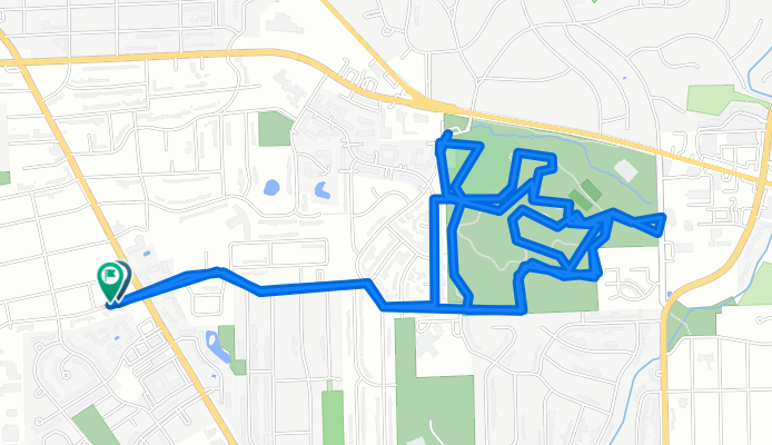
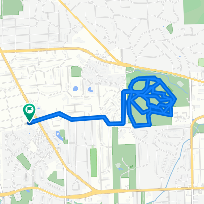
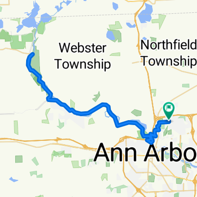
Marlborough Dr, Ann Arbor to Marlborough Dr, Ann Arbor
A cycling route starting in Ann Arbor, Michigan, United States.
Overview
About this route
Embark on a scenic 10.6 km cycling adventure that showcases the beauty of the countryside.
Begin your journey, as you will ascend a gentle 108 meters, setting the stage for a refreshing climb. The path descends smoothly for another 108 meters, offering a delightful change of pace. The route culminates at a maximum elevation of 272 meters, providing a rewarding challenge for cyclists seeking both elevation and scenic views.
The surface is a mix of paved and unpaved sections, inviting exploration of both smooth and rustic trails.
This route is perfect for those looking to combine fitness with the tranquility of nature, making it an ideal choice for an invigorating ride through picturesque landscapes.
AI generated
- 46 min
- Duration
- 10.6 km
- Distance
- 109 m
- Ascent
- 108 m
- Descent
- 13.9 km/h
- Avg. speed
- 272 m
- Max. altitude
Route quality
Waytypes & surfaces along the route
Waytypes
Path
5.6 km
(53 %)
Quiet road
3.4 km
(32 %)
Surfaces
Paved
5.8 km
(55 %)
Unpaved
2.3 km
(22 %)
Asphalt
5.5 km
(52 %)
Gravel
1.9 km
(18 %)
Continue with Bikemap
Use, edit, or download this cycling route
You would like to ride Marlborough Dr, Ann Arbor to Marlborough Dr, Ann Arbor or customize it for your own trip? Here is what you can do with this Bikemap route:
Free features
- Save this route as favorite or in collections
- Copy & plan your own version of this route
- Sync your route with Garmin or Wahoo
Premium features
Free trial for 3 days, or one-time payment. More about Bikemap Premium.
- Navigate this route on iOS & Android
- Export a GPX / KML file of this route
- Create your custom printout (try it for free)
- Download this route for offline navigation
Discover more Premium features.
Get Bikemap PremiumFrom our community
Other popular routes starting in Ann Arbor
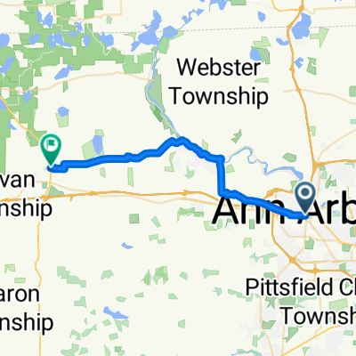 Route from pinckney mi
- Distance
- 29 km
- Ascent
- 187 m
- Descent
- 166 m
- Location
- Ann Arbor, Michigan, United States
 Dexter and back (with loop)
- Distance
- 65.3 km
- Ascent
- 487 m
- Descent
- 487 m
- Location
- Ann Arbor, Michigan, United States
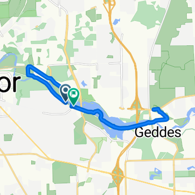 Geddes Ridge Avenue to Gallup Park Road
- Distance
- 13.9 km
- Ascent
- 110 m
- Descent
- 79 m
- Location
- Ann Arbor, Michigan, United States
 Steady ride in Ann Arbor
- Distance
- 18.4 km
- Ascent
- 249 m
- Descent
- 249 m
- Location
- Ann Arbor, Michigan, United States
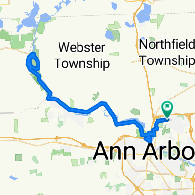
 Huron River Drive to Dexter
- Distance
- 27.5 km
- Ascent
- 110 m
- Descent
- 125 m
- Location
- Ann Arbor, Michigan, United States
 Relaxed route in Ann Arbor
- Distance
- 25.7 km
- Ascent
- 221 m
- Descent
- 223 m
- Location
- Ann Arbor, Michigan, United States
 Marlborough Dr, Ann Arbor to Marlborough Dr, Ann Arbor
- Distance
- 10 km
- Ascent
- 101 m
- Descent
- 102 m
- Location
- Ann Arbor, Michigan, United States
 Dexter and back
- Distance
- 59.7 km
- Ascent
- 465 m
- Descent
- 465 m
- Location
- Ann Arbor, Michigan, United States
Open it in the app