

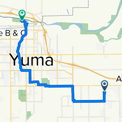
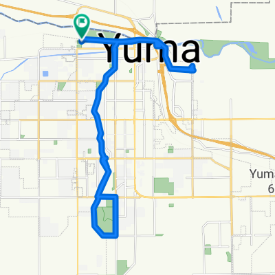
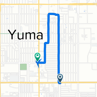
W 14th Ln, Yuma to W 14th Ln, Yuma
A cycling route starting in Yuma, Arizona, United States.
Overview
About this route
Explore the Scenic Route!
Embark on an exhilarating cycling adventure through picturesque landscapes! This 13.2 km route offers a delightful mix of gentle ascents and thrilling descents, perfect for those seeking a challenge without the hassle. With a modest 6 meters of elevation gain and 9 meters of descent, you'll enjoy a smooth and enjoyable ride.
The route's maximum elevation of 42 meters ensures a balanced journey, providing stunning views and a refreshing change of pace. Whether you're a seasoned cyclist or a casual rider, this path promises an engaging experience.
So, gear up, hit the road, and immerse yourself in the beauty of this fantastic cycling route!
AI generated
- 1 h 32 min
- Duration
- 13.2 km
- Distance
- 6 m
- Ascent
- 9 m
- Descent
- 8.7 km/h
- Avg. speed
- 43 m
- Max. altitude
Continue with Bikemap
Use, edit, or download this cycling route
You would like to ride W 14th Ln, Yuma to W 14th Ln, Yuma or customize it for your own trip? Here is what you can do with this Bikemap route:
Free features
- Save this route as favorite or in collections
- Copy & plan your own version of this route
- Sync your route with Garmin or Wahoo
Premium features
Free trial for 3 days, or one-time payment. More about Bikemap Premium.
- Navigate this route on iOS & Android
- Export a GPX / KML file of this route
- Create your custom printout (try it for free)
- Download this route for offline navigation
Discover more Premium features.
Get Bikemap PremiumFrom our community
Other popular routes starting in Yuma
 South 5 3547, Yuma to North 12th Avenue 282, Yuma
- Distance
- 18.9 km
- Ascent
- 32 m
- Descent
- 58 m
- Location
- Yuma, Arizona, United States
 2936 W 21st Pl, Yuma to 2936 W 21st Pl, Yuma
- Distance
- 22 km
- Ascent
- 80 m
- Descent
- 83 m
- Location
- Yuma, Arizona, United States
 Recovered Route
- Distance
- 19.9 km
- Ascent
- 31 m
- Descent
- 29 m
- Location
- Yuma, Arizona, United States
 Colorado Street to Colorado Street
- Distance
- 35.2 km
- Ascent
- 138 m
- Descent
- 101 m
- Location
- Yuma, Arizona, United States
 103 E 24th St, Yuma to 2198 S Fourth Ave, Yuma
- Distance
- 2.9 km
- Ascent
- 0 m
- Descent
- 0 m
- Location
- Yuma, Arizona, United States
 2936 W 21st Pl, Yuma to 2936 W 21st Pl, Yuma
- Distance
- 16.4 km
- Ascent
- 19 m
- Descent
- 296 m
- Location
- Yuma, Arizona, United States
 W 14th Ln, Yuma to W 14th Ln, Yuma
- Distance
- 13.2 km
- Ascent
- 6 m
- Descent
- 9 m
- Location
- Yuma, Arizona, United States
 2948 W 21st Pl, Yuma to 2936 W 21st Pl, Yuma
- Distance
- 20.3 km
- Ascent
- 62 m
- Descent
- 62 m
- Location
- Yuma, Arizona, United States
Open it in the app