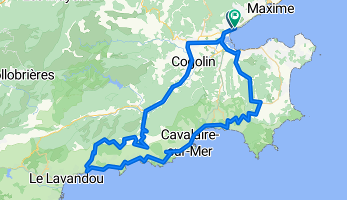
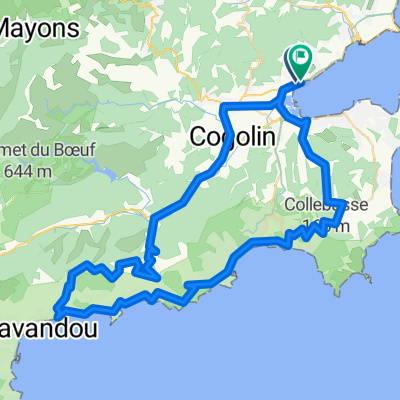
Port Grimaud - Bergstraße nach Le Lavandou -Cavaliere-sur-Mer
- 78.4 km
- 782 m
- 780 m
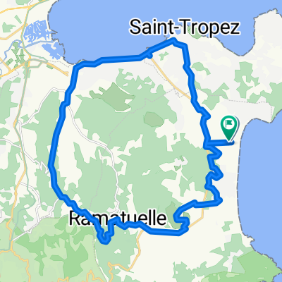
- Saint-Tropez, Provence-Alpes-Côte d'Azur Region, France
A cycling route starting in Saint-Tropez, Provence-Alpes-Côte d'Azur Region, France.
Overview
created this 2 months ago
Continue with Bikemap
You would like to ride Port Grimaud - Bergstraße nach Le Lavandou -Cavaliere-sur-Mer or customize it for your own trip? Here is what you can do with this Bikemap route:
Free trial for 3 days, or one-time payment. More about Bikemap Premium.
Discover more Premium features.
Get Bikemap PremiumFrom our community
Open it in the app