
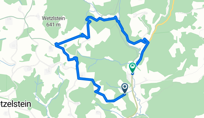
Panholz nach Panholz
A cycling route starting in Bad Kreuzen, Upper Austria, Austria.
Overview
About this route
- 2 h 30 min
- Duration
- 6 km
- Distance
- 346 m
- Ascent
- 366 m
- Descent
- 2.4 km/h
- Avg. speed
- 609 m
- Max. altitude

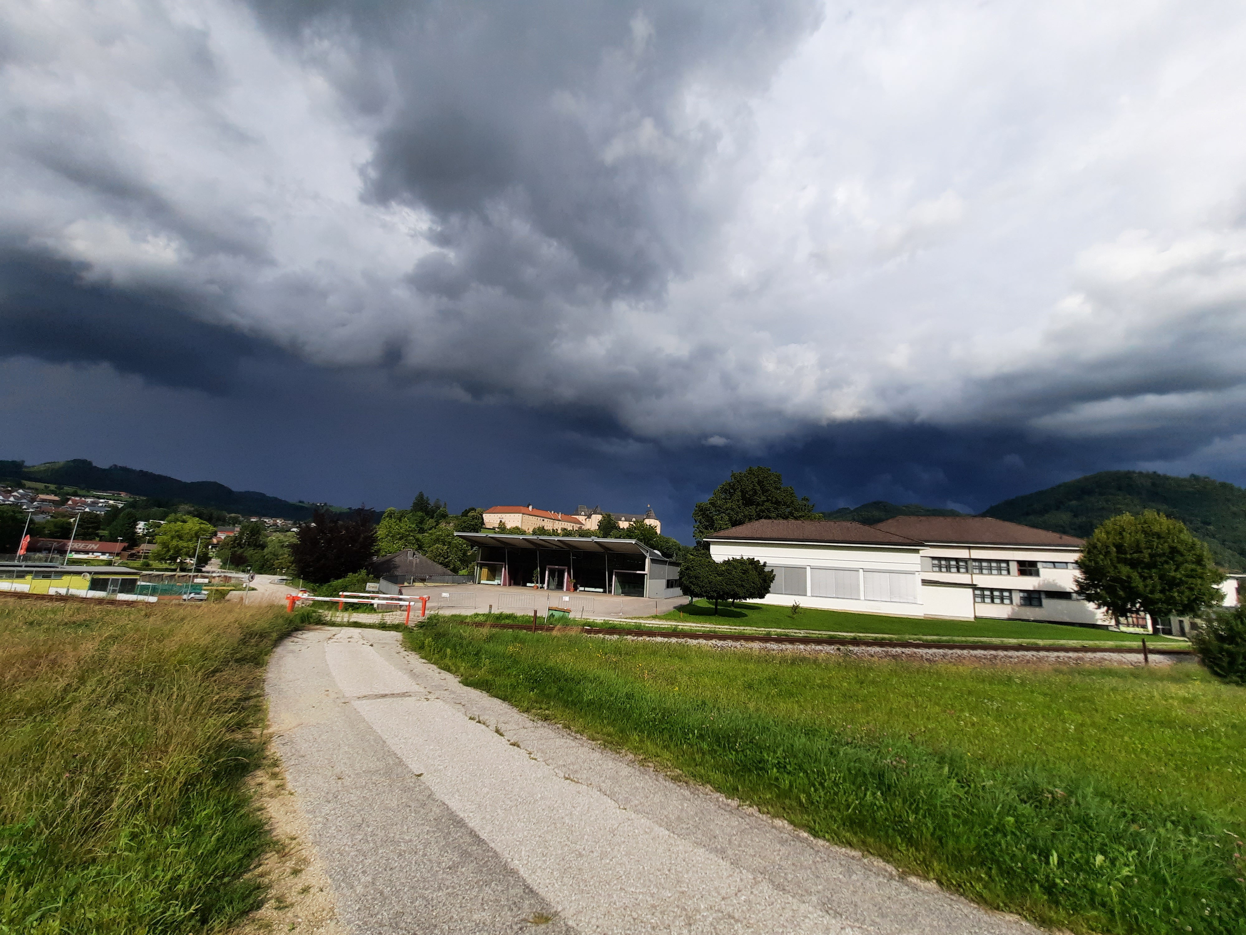
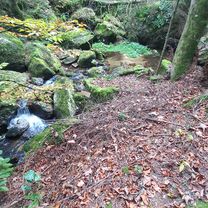
Route photos


Route quality
Waytypes & surfaces along the route
Waytypes
Track
2.3 km
(38 %)
Quiet road
1.7 km
(29 %)
Surfaces
Paved
1 km
(16 %)
Unpaved
1.4 km
(24 %)
Unpaved (undefined)
1.2 km
(20 %)
Paved (undefined)
0.5 km
(9 %)
Continue with Bikemap
Use, edit, or download this cycling route
You would like to ride Panholz nach Panholz or customize it for your own trip? Here is what you can do with this Bikemap route:
Free features
- Save this route as favorite or in collections
- Copy & plan your own version of this route
- Sync your route with Garmin or Wahoo
Premium features
Free trial for 3 days, or one-time payment. More about Bikemap Premium.
- Navigate this route on iOS & Android
- Export a GPX / KML file of this route
- Create your custom printout (try it for free)
- Download this route for offline navigation
Discover more Premium features.
Get Bikemap PremiumFrom our community
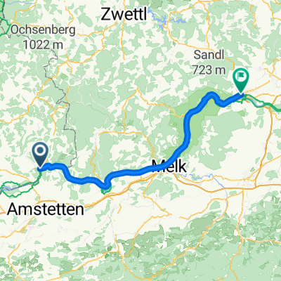
Other popular routes starting in Bad Kreuzen
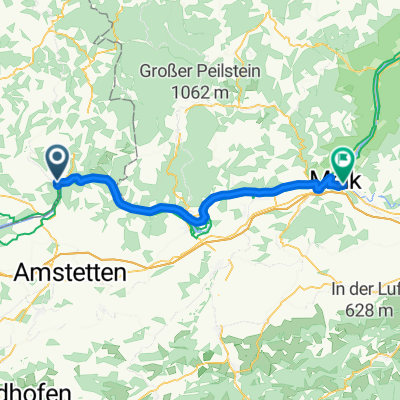 Von Grein bis Melk
- Distance
- 47 km
- Ascent
- 204 m
- Descent
- 194 m
- Location
- Bad Kreuzen, Upper Austria, Austria
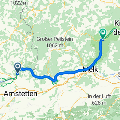
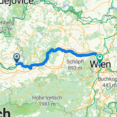 Etapa 051C (Grein - Viena)
- Distance
- 164.8 km
- Ascent
- 1,008 m
- Descent
- 1,057 m
- Location
- Bad Kreuzen, Upper Austria, Austria
 Von Grein bis Aschach
- Distance
- 93.9 km
- Ascent
- 225 m
- Descent
- 241 m
- Location
- Bad Kreuzen, Upper Austria, Austria
 Grein, St.Thomas, Klam, BGB., Saxen, Grein. Dem Gewitter davongefahren.
- Distance
- 41.9 km
- Ascent
- 558 m
- Descent
- 599 m
- Location
- Bad Kreuzen, Upper Austria, Austria
 Hauptstraße, Grein to Schiffhausweg, Pöchlarn
- Distance
- 41.1 km
- Ascent
- 186 m
- Descent
- 203 m
- Location
- Bad Kreuzen, Upper Austria, Austria
 Panholz nach Panholz
- Distance
- 6 km
- Ascent
- 346 m
- Descent
- 366 m
- Location
- Bad Kreuzen, Upper Austria, Austria
 Bad Kreuzen - Grafenegg
- Distance
- 78.4 km
- Ascent
- 306 m
- Descent
- 343 m
- Location
- Bad Kreuzen, Upper Austria, Austria
 Bad Kreuzen - Spitz an der Donau
- Distance
- 61.7 km
- Ascent
- 317 m
- Descent
- 342 m
- Location
- Bad Kreuzen, Upper Austria, Austria
Open it in the app