
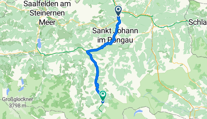
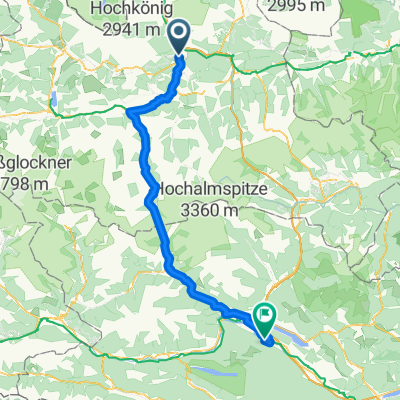
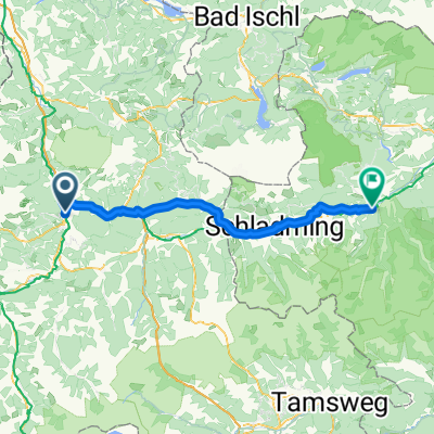
From Bischofshofen to Bad Gastein
A cycling route starting in Bischofshofen, Salzburg, Austria.
Overview
About this route
- 3 h 40 min
- Duration
- 52.3 km
- Distance
- 1,135 m
- Ascent
- 650 m
- Descent
- 14.3 km/h
- Avg. speed
- 1,040 m
- Max. altitude

Route quality
Waytypes & surfaces along the route
Waytypes
Quiet road
22.5 km
(43 %)
Path
15.2 km
(29 %)
Surfaces
Paved
33 km
(63 %)
Unpaved
15.2 km
(29 %)
Asphalt
32.4 km
(62 %)
Loose gravel
10.5 km
(20 %)
Continue with Bikemap
Use, edit, or download this cycling route
You would like to ride From Bischofshofen to Bad Gastein or customize it for your own trip? Here is what you can do with this Bikemap route:
Free features
- Save this route as favorite or in collections
- Copy & plan your own version of this route
- Sync your route with Garmin or Wahoo
Premium features
Free trial for 3 days, or one-time payment. More about Bikemap Premium.
- Navigate this route on iOS & Android
- Export a GPX / KML file of this route
- Create your custom printout (try it for free)
- Download this route for offline navigation
Discover more Premium features.
Get Bikemap PremiumFrom our community
Other popular routes starting in Bischofshofen
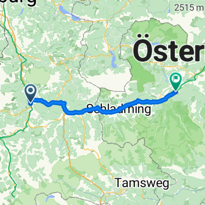 Bischofshofen - Öblarn
- Distance
- 75.2 km
- Ascent
- 1,565 m
- Descent
- 1,449 m
- Location
- Bischofshofen, Salzburg, Austria
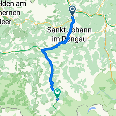
 Etappe 2: Von Bischofshofen nach Bad Gastein– Alpe-Adria-Radweg
- Distance
- 55.5 km
- Ascent
- 708 m
- Descent
- 170 m
- Location
- Bischofshofen, Salzburg, Austria
 From Bischofshofen to Bad Gastein
- Distance
- 52.3 km
- Ascent
- 1,135 m
- Descent
- 650 m
- Location
- Bischofshofen, Salzburg, Austria
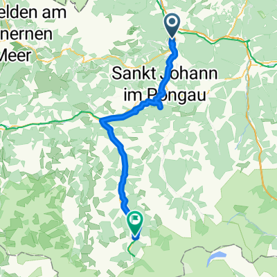
 From Bischofshofen to Bad Gastein
- Distance
- 49.6 km
- Ascent
- 945 m
- Descent
- 457 m
- Location
- Bischofshofen, Salzburg, Austria
 Gemakkelijke rit
- Distance
- 55.6 km
- Ascent
- 766 m
- Descent
- 226 m
- Location
- Bischofshofen, Salzburg, Austria
 Von Bischofshofen bis Schüttbach
- Distance
- 113.6 km
- Ascent
- 1,823 m
- Descent
- 1,818 m
- Location
- Bischofshofen, Salzburg, Austria
 Von Bischofshofen bis Michaelerberg-Pruggern
- Distance
- 66.9 km
- Ascent
- 1,695 m
- Descent
- 1,518 m
- Location
- Bischofshofen, Salzburg, Austria
 Von Pfarrwerfen bis Bruck an der Großglocknerstraße
- Distance
- 49.1 km
- Ascent
- 1,032 m
- Descent
- 807 m
- Location
- Bischofshofen, Salzburg, Austria
Open it in the app