
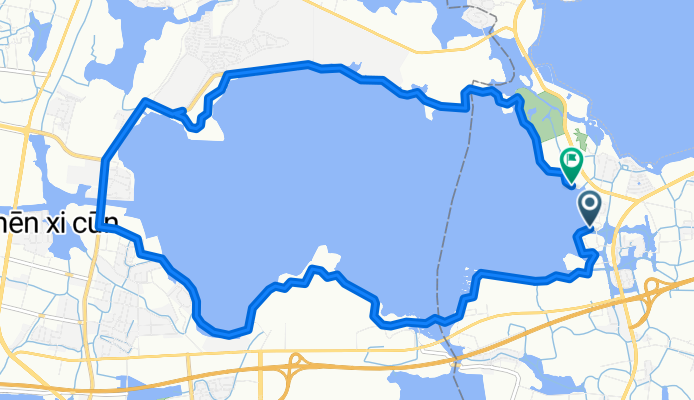
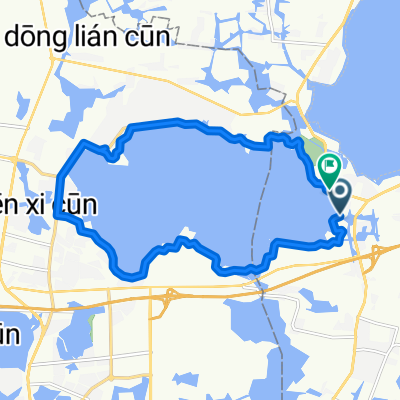
Qingpu, Shanghai to Jinzezhen Jinshang Highway No.351, Shanghai
A cycling route starting in Jinze, Shanghai Municipality, China.
Overview
About this route
- 57 min
- Duration
- 18.5 km
- Distance
- 23 m
- Ascent
- 22 m
- Descent
- 19.4 km/h
- Avg. speed
- 13 m
- Max. altitude

Route quality
Waytypes & surfaces along the route
Waytypes
Cycleway
14.1 km
(76 %)
Quiet road
0.6 km
(3 %)
Surfaces
Paved
17.9 km
(97 %)
Asphalt
17.9 km
(97 %)
Undefined
0.6 km
(3 %)
Continue with Bikemap
Use, edit, or download this cycling route
You would like to ride Qingpu, Shanghai to Jinzezhen Jinshang Highway No.351, Shanghai or customize it for your own trip? Here is what you can do with this Bikemap route:
Free features
- Save this route as favorite or in collections
- Copy & plan your own version of this route
- Sync your route with Garmin or Wahoo
Premium features
Free trial for 3 days, or one-time payment. More about Bikemap Premium.
- Navigate this route on iOS & Android
- Export a GPX / KML file of this route
- Create your custom printout (try it for free)
- Download this route for offline navigation
Discover more Premium features.
Get Bikemap PremiumFrom our community
Other popular routes starting in Jinze
 G50 Huyu Expressway, Shanghai to No.9511, Waiqingsong Highway No. Sheshan National Forest Park Dongsheshan In-park, Shanghai
- Distance
- 31.8 km
- Ascent
- 34 m
- Descent
- 35 m
- Location
- Jinze, Shanghai Municipality, China
 Cenbo 1
- Distance
- 15.1 km
- Ascent
- 5 m
- Descent
- 4 m
- Location
- Jinze, Shanghai Municipality, China
 青浦双湖加太浦河
- Distance
- 96 km
- Ascent
- 142 m
- Descent
- 144 m
- Location
- Jinze, Shanghai Municipality, China
 zhujiajiao
- Distance
- 15 km
- Ascent
- 23 m
- Descent
- 19 m
- Location
- Jinze, Shanghai Municipality, China
 Qingpu, Shanghai to Jinzezhen Jinshang Highway No.351, Shanghai
- Distance
- 18.5 km
- Ascent
- 23 m
- Descent
- 22 m
- Location
- Jinze, Shanghai Municipality, China
Open it in the app