
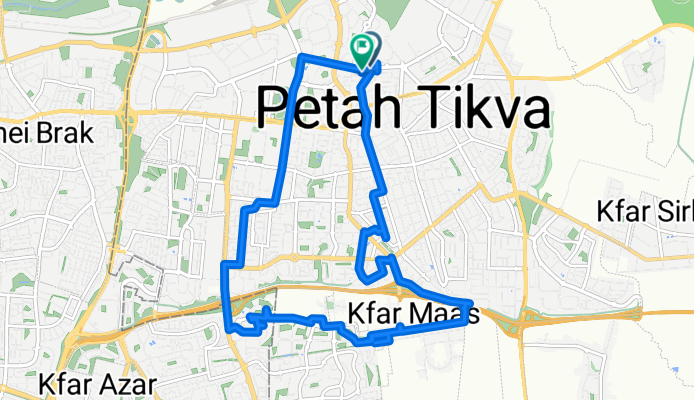
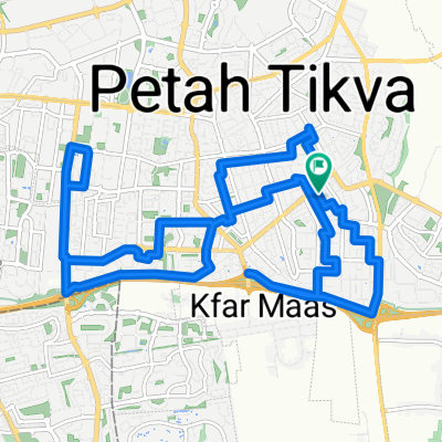
כפר מעש -גני תקווה
A cycling route starting in Petah Tikva, Central District, Israel.
Overview
About this route
- 1 h 43 min
- Duration
- 20.3 km
- Distance
- 219 m
- Ascent
- 252 m
- Descent
- 11.8 km/h
- Avg. speed
- 93 m
- Max. altitude

Continue with Bikemap
Use, edit, or download this cycling route
You would like to ride כפר מעש -גני תקווה or customize it for your own trip? Here is what you can do with this Bikemap route:
Free features
- Save this route as favorite or in collections
- Copy & plan your own version of this route
- Sync your route with Garmin or Wahoo
Premium features
Free trial for 3 days, or one-time payment. More about Bikemap Premium.
- Navigate this route on iOS & Android
- Export a GPX / KML file of this route
- Create your custom printout (try it for free)
- Download this route for offline navigation
Discover more Premium features.
Get Bikemap PremiumFrom our community
Other popular routes starting in Petah Tikva
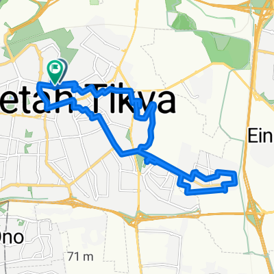 כפר סירקין
- Distance
- 21.1 km
- Ascent
- 172 m
- Descent
- 134 m
- Location
- Petah Tikva, Central District, Israel
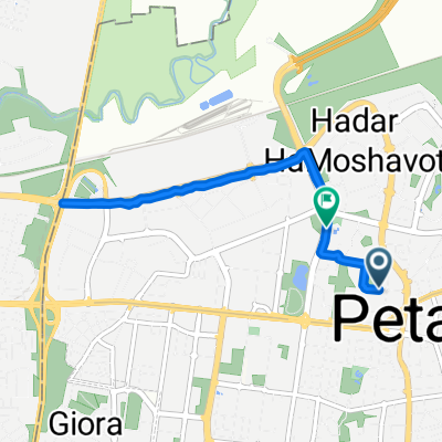
 הירקון מפתח תקווה לנמל תל אביב
- Distance
- 13.9 km
- Ascent
- 15 m
- Descent
- 30 m
- Location
- Petah Tikva, Central District, Israel
 Relaxed route
- Distance
- 11.4 km
- Ascent
- 106 m
- Descent
- 123 m
- Location
- Petah Tikva, Central District, Israel
 Steady ride
- Distance
- 7.1 km
- Ascent
- 55 m
- Descent
- 68 m
- Location
- Petah Tikva, Central District, Israel
 רח׳ האר״י הקדוש, פתח תקווה до רח׳ האר״י הקדוש, פתח תקווה
- Distance
- 21.6 km
- Ascent
- 145 m
- Descent
- 145 m
- Location
- Petah Tikva, Central District, Israel
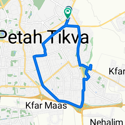
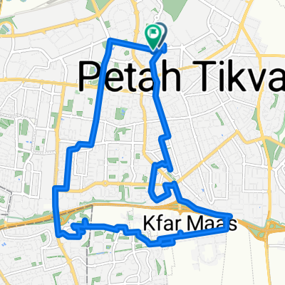 כפר מעש -גני תקווה
- Distance
- 20.3 km
- Ascent
- 219 m
- Descent
- 252 m
- Location
- Petah Tikva, Central District, Israel
 Moderate route
- Distance
- 7.7 km
- Ascent
- 31 m
- Descent
- 92 m
- Location
- Petah Tikva, Central District, Israel
 Moderate route in Petah Tiqwa
- Distance
- 25.4 km
- Ascent
- 140 m
- Descent
- 141 m
- Location
- Petah Tikva, Central District, Israel
Open it in the app