
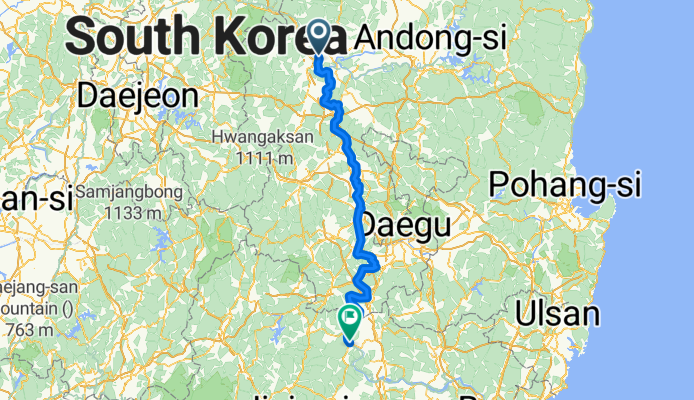
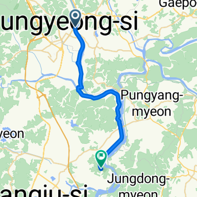
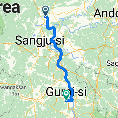
영신동, 문경시에서 합천군까지
A cycling route starting in Mungyeong, Gyeongsangbuk-do, South Korea.
Overview
About this route
- 9 h 55 min
- Duration
- 189.1 km
- Distance
- 645 m
- Ascent
- 687 m
- Descent
- 19.1 km/h
- Avg. speed
- 96 m
- Max. altitude
Route quality
Waytypes & surfaces along the route
Waytypes
Cycleway
143.7 km
(76 %)
Quiet road
15.1 km
(8 %)
Surfaces
Paved
170.2 km
(90 %)
Asphalt
139.9 km
(74 %)
Concrete
26.5 km
(14 %)
Continue with Bikemap
Use, edit, or download this cycling route
You would like to ride 영신동, 문경시에서 합천군까지 or customize it for your own trip? Here is what you can do with this Bikemap route:
Free features
- Save this route as favorite or in collections
- Copy & plan your own version of this route
- Split it into stages to create a multi-day tour
- Sync your route with Garmin or Wahoo
Premium features
Free trial for 3 days, or one-time payment. More about Bikemap Premium.
- Navigate this route on iOS & Android
- Export a GPX / KML file of this route
- Create your custom printout (try it for free)
- Download this route for offline navigation
Discover more Premium features.
Get Bikemap PremiumFrom our community
Other popular routes starting in Mungyeong
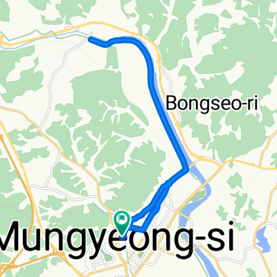
 supermarket
- Distance
- 2.1 km
- Ascent
- 16 m
- Descent
- 13 m
- Location
- Mungyeong, Gyeongsangbuk-do, South Korea
 모전동 975-1 ~ 모전동 968-1
- Distance
- 17 km
- Ascent
- 77 m
- Descent
- 103 m
- Location
- Mungyeong, Gyeongsangbuk-do, South Korea
 4 Mungyeong - Chilgok
- Distance
- 93.7 km
- Ascent
- 685 m
- Descent
- 727 m
- Location
- Mungyeong, Gyeongsangbuk-do, South Korea
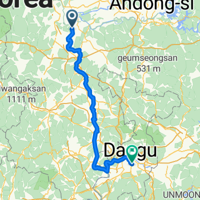 Mungyeong - Daegu
- Distance
- 129.8 km
- Ascent
- 784 m
- Descent
- 814 m
- Location
- Mungyeong, Gyeongsangbuk-do, South Korea
 Mungyeong - Sangju
- Distance
- 23 km
- Ascent
- 214 m
- Descent
- 213 m
- Location
- Mungyeong, Gyeongsangbuk-do, South Korea
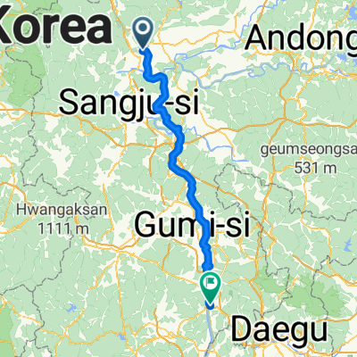
 Jour 4 - Mungyeong à Gumi
- Distance
- 79.3 km
- Ascent
- 668 m
- Descent
- 684 m
- Location
- Mungyeong, Gyeongsangbuk-do, South Korea
![점촌동 177-14Ph0]으로 라우팅](https://media.bikemap.net/routes/17535838/gallery/thumbs/bf515d54-4de7-492d-928c-395004283519.jpg.208x208_q80_crop.jpg) 점촌동 177-14Ph0]으로 라우팅
점촌동 177-14Ph0]으로 라우팅- Distance
- 6 km
- Ascent
- 51 m
- Descent
- 35 m
- Location
- Mungyeong, Gyeongsangbuk-do, South Korea
 삼부자 라이딩
- Distance
- 17 km
- Ascent
- 45 m
- Descent
- 77 m
- Location
- Mungyeong, Gyeongsangbuk-do, South Korea
Open it in the app