
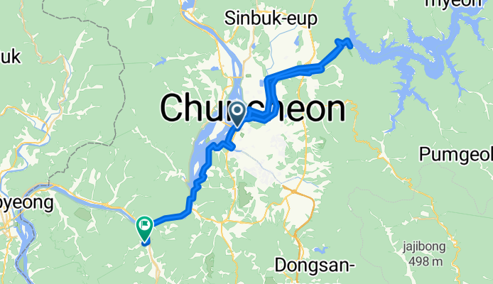
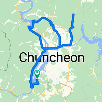
근화동 561-3 ~ 남산면 406-1
A cycling route starting in Chuncheon, Gangwon-do, South Korea.
Overview
About this route
- 6 h 13 min
- Duration
- 49 km
- Distance
- 444 m
- Ascent
- 478 m
- Descent
- 7.9 km/h
- Avg. speed
- 271 m
- Max. altitude

Continue with Bikemap
Use, edit, or download this cycling route
You would like to ride 근화동 561-3 ~ 남산면 406-1 or customize it for your own trip? Here is what you can do with this Bikemap route:
Free features
- Save this route as favorite or in collections
- Copy & plan your own version of this route
- Sync your route with Garmin or Wahoo
Premium features
Free trial for 3 days, or one-time payment. More about Bikemap Premium.
- Navigate this route on iOS & Android
- Export a GPX / KML file of this route
- Create your custom printout (try it for free)
- Download this route for offline navigation
Discover more Premium features.
Get Bikemap PremiumFrom our community
Other popular routes starting in Chuncheon
 후평동 825-6 ~ 홍제동 111-7
- Distance
- 316.3 km
- Ascent
- 5,493 m
- Descent
- 5,569 m
- Location
- Chuncheon, Gangwon-do, South Korea
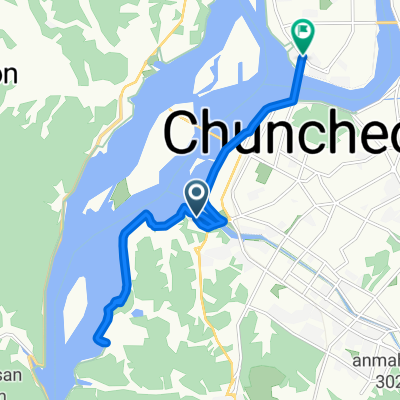 삼천동, 춘천시에서 우두동, 춘천시까지
- Distance
- 14.5 km
- Ascent
- 128 m
- Descent
- 135 m
- Location
- Chuncheon, Gangwon-do, South Korea
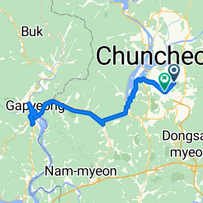
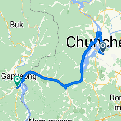 중앙로2가 ~ 가평읍 603-2
- Distance
- 39.5 km
- Ascent
- 157 m
- Descent
- 206 m
- Location
- Chuncheon, Gangwon-do, South Korea
 비앙키 춘천 메디오폰도 2025
- Distance
- 82.6 km
- Ascent
- 1,045 m
- Descent
- 1,058 m
- Location
- Chuncheon, Gangwon-do, South Korea
 쉬운 승차감
- Distance
- 39.6 km
- Ascent
- 376 m
- Descent
- 397 m
- Location
- Chuncheon, Gangwon-do, South Korea
 춘천역_가평역
- Distance
- 40.8 km
- Ascent
- 145 m
- Descent
- 154 m
- Location
- Chuncheon, Gangwon-do, South Korea
 9월13일 라이딩
- Distance
- 17 km
- Ascent
- 72 m
- Descent
- 82 m
- Location
- Chuncheon, Gangwon-do, South Korea
 기본 주행
기본 주행- Distance
- 75.1 km
- Ascent
- 471 m
- Descent
- 506 m
- Location
- Chuncheon, Gangwon-do, South Korea
Open it in the app