Home To Office
A cycling route starting in Canterbury, New South Wales, Australia.
Overview
About this route
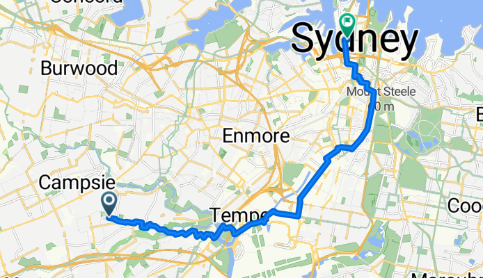
Cycle through the beautiful landscapes of Sydney on this scenic route, starting at 32 Baringa Rd, Earlwood and ending at 363 George St, Sydney.
This 17.7 km journey takes you along the Regional cycling network, with 65.6% of the route on cycleways. You will find a mix of surfaces, including asphalt, concrete, and some undefined paths. Enjoy the combination of paved and unpaved sections as you cycle through the countryside.
With an elevation gain of 224 meters and a gentle descent of 177 meters, this route offers a moderate challenge, with a maximum elevation of 73 meters. The route is ideal for those seeking a mix of adventure and tranquility.
Whether you're a seasoned cyclist or just getting started, this route offers a delightful experience through some of Sydney's picturesque surroundings.
AI generated
- 1 h 3 min
- Duration
- 17.7 km
- Distance
- 224 m
- Ascent
- 178 m
- Descent
- 16.8 km/h
- Avg. speed
- 73 m
- Max. altitude
Route quality
Waytypes & surfaces along the route
Waytypes
- Cycleway - 11.5 km - (65 %) 
- Quiet road - 5.1 km - (29 %) 
Surfaces
Paved
15.6 km
(88 %)
- Asphalt - 11.2 km - (63 %) 
- Concrete - 3 km - (17 %) 
Continue with Bikemap
Use, edit, or download this cycling route
You would like to ride Home To Office or customize it for your own trip? Here is what you can do with this Bikemap route:
Free features
- Save this route as favorite or in collections
- Copy & plan your own version of this route
- Sync your route with Garmin or Wahoo
Premium features
Free trial for 3 days, or one-time payment. More about Bikemap Premium.
- Navigate this route on iOS & Android
- Export a GPX / KML file of this route
- Create your custom printout (try it for free)
- Download this route for offline navigation
Discover more Premium features.
Get Bikemap PremiumFrom our community
Other popular routes starting in Canterbury
 Canterbury to Windsor Canterbury to Windsor- Distance
- 57.1 km
- Ascent
- 293 m
- Descent
- 279 m
- Location
- Canterbury, New South Wales, Australia
 
 Canterbury - Belfield - Tempe - Canterbury Canterbury - Belfield - Tempe - Canterbury- Distance
- 20.4 km
- Ascent
- 62 m
- Descent
- 62 m
- Location
- Canterbury, New South Wales, Australia
 
 Rhondes Round trip idea Rhondes Round trip idea- Distance
- 41.8 km
- Ascent
- 265 m
- Descent
- 267 m
- Location
- Canterbury, New South Wales, Australia
 
 Sth Strathfield to Brighton Sth Strathfield to Brighton- Distance
- 35.5 km
- Ascent
- 141 m
- Descent
- 148 m
- Location
- Canterbury, New South Wales, Australia
 
 - Garmin Croydon Park to Parramatta Weir- Distance
- 49.9 km
- Ascent
- 176 m
- Descent
- 177 m
- Location
- Canterbury, New South Wales, Australia
 
 - Garmin Cooks / Parramatta River Loop- Distance
- 44.9 km
- Ascent
- 168 m
- Descent
- 167 m
- Location
- Canterbury, New South Wales, Australia
 
 Home to Bondi Home to Bondi- Distance
- 37 km
- Ascent
- 214 m
- Descent
- 212 m
- Location
- Canterbury, New South Wales, Australia
 
 15A Close Street, Canterbury to 16-18 Wassell Street, Matraville 15A Close Street, Canterbury to 16-18 Wassell Street, Matraville- Distance
- 19 km
- Ascent
- 3 m
- Descent
- 10 m
- Location
- Canterbury, New South Wales, Australia
 
Open it in the app

