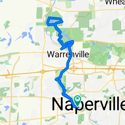
Oswego 42
A cycling route starting in Naperville, Illinois, United States of America.
Overview
About this route
- -:--
- Duration
- 66.7 km
- Distance
- 101 m
- Ascent
- 99 m
- Descent
- ---
- Avg. speed
- ---
- Avg. speed
Route quality
Waytypes & surfaces along the route
Waytypes
Quiet road
46.2 km
(69 %)
Cycleway
9.4 km
(14 %)
Surfaces
Paved
33.4 km
(50 %)
Asphalt
32.6 km
(49 %)
Paving stones
0.3 km
(<1 %)
Route highlights
Points of interest along the route
Point of interest after 36.6 km
Food/Bathrooms
Point of interest after 55.9 km
Food/Bathrooms
Continue with Bikemap
Use, edit, or download this cycling route
You would like to ride Oswego 42 or customize it for your own trip? Here is what you can do with this Bikemap route:
Free features
- Save this route as favorite or in collections
- Copy & plan your own version of this route
- Sync your route with Garmin or Wahoo
Premium features
Free trial for 3 days, or one-time payment. More about Bikemap Premium.
- Navigate this route on iOS & Android
- Export a GPX / KML file of this route
- Create your custom printout (try it for free)
- Download this route for offline navigation
Discover more Premium features.
Get Bikemap PremiumFrom our community
Other popular routes starting in Naperville
- To Centennial and back
- Distance
- 64.1 km
- Ascent
- 147 m
- Descent
- 146 m
- Location
- Naperville, Illinois, United States of America
- Centenniel Loop
- Distance
- 19.9 km
- Ascent
- 81 m
- Descent
- 78 m
- Location
- Naperville, Illinois, United States of America
- WheatonElginLoop
- Distance
- 86.8 km
- Ascent
- 389 m
- Descent
- 389 m
- Location
- Naperville, Illinois, United States of America
- Springbrook Forest Reserve Trail
- Distance
- 11.3 km
- Ascent
- 54 m
- Descent
- 55 m
- Location
- Naperville, Illinois, United States of America
- Oswego 42
- Distance
- 66.7 km
- Ascent
- 101 m
- Descent
- 99 m
- Location
- Naperville, Illinois, United States of America
- path to dt naperville
- Distance
- 2.9 km
- Ascent
- 7 m
- Descent
- 9 m
- Location
- Naperville, Illinois, United States of America
- Naperville Paved Dupage River Route
- Distance
- 26.6 km
- Ascent
- 72 m
- Descent
- 54 m
- Location
- Naperville, Illinois, United States of America
- Dupage River Trail-Whalon Lake-Green valley-Bailey
- Distance
- 21.1 km
- Ascent
- 71 m
- Descent
- 71 m
- Location
- Naperville, Illinois, United States of America
Open it in the app