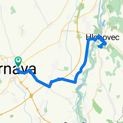
Trnava - Bradlo - Jablonica
- 63.4 km
- 828 m
- 759 m
- Trnava, Trnava Region, Slovakia
A cycling route starting in Trnava, Trnava Region, Slovakia.
Overview
A simple route suitable for trekking bikes, as there is a section of unpaved road. It passes through the villages of Opoj, Vlčkovce, Križovany nad Dudváhom, Hosté, Majcichov. On the route, you will come to a small pond and later to a weir.
created this 13 years ago
Route quality
Track
11.2 km
(58 %)
Road
6.2 km
(32 %)
Paved
5.4 km
(28 %)
Unpaved
4.6 km
(24 %)
Asphalt
3.5 km
(18 %)
Ground
3.3 km
(17 %)
Route highlights

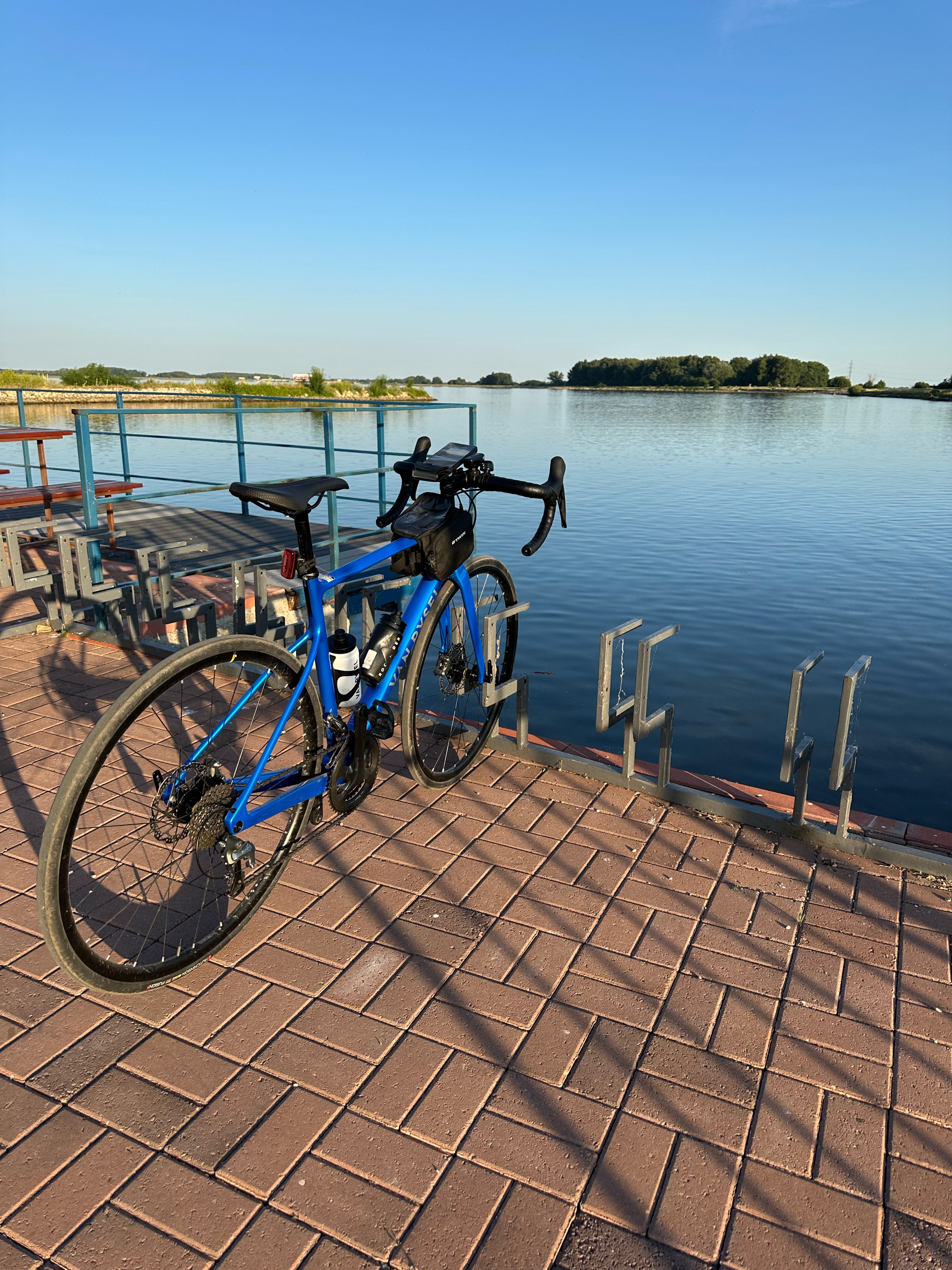
Jazierko - lake
Continue with Bikemap
You would like to ride Opojský malý okruh or customize it for your own trip? Here is what you can do with this Bikemap route:
Free trial for 3 days, or one-time payment. More about Bikemap Premium.
Discover more Premium features.
Get Bikemap PremiumFrom our community
Open it in the app