
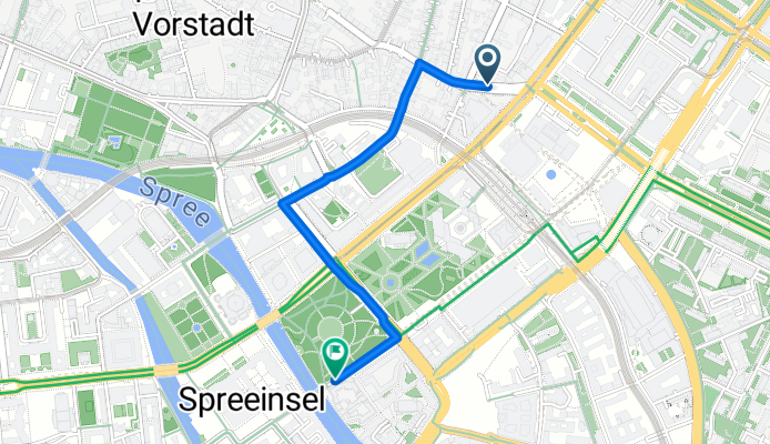
test 12345
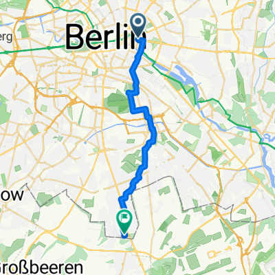
A cycling route starting in Berlin, State of Berlin, Germany.
Overview
About this route
- 6 min
- Duration
- 1.7 km
- Distance
- 14 m
- Ascent
- 21 m
- Descent
- 17.3 km/h
- Avg. speed
- 49 m
- Max. altitude
Route photos

Route quality
Waytypes & surfaces along the route
Waytypes
Quiet road
0.8 km
(45 %)
Road
0.6 km
(35 %)
Surfaces
Paved
1.7 km
(99 %)
Asphalt
1.5 km
(90 %)
Concrete
0.2 km
(9 %)
Undefined
0 km
(1 %)
Continue with Bikemap
Use, edit, or download this cycling route
You would like to ride test 12345 or customize it for your own trip? Here is what you can do with this Bikemap route:
Free features
- Save this route as favorite or in collections
- Copy & plan your own version of this route
- Sync your route with Garmin or Wahoo
Premium features
Free trial for 3 days, or one-time payment. More about Bikemap Premium.
- Navigate this route on iOS & Android
- Export a GPX / KML file of this route
- Create your custom printout (try it for free)
- Download this route for offline navigation
Discover more Premium features.
Get Bikemap PremiumFrom our community
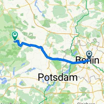
Other popular routes starting in Berlin
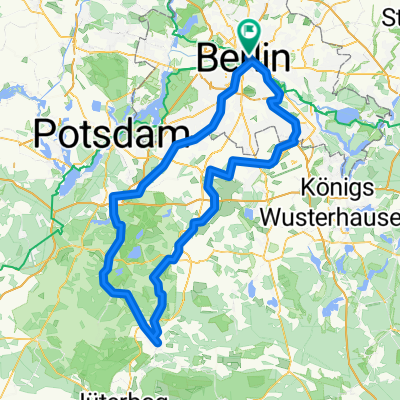 Luckenwalde
- Distance
- 156.9 km
- Ascent
- 561 m
- Descent
- 561 m
- Location
- Berlin, State of Berlin, Germany
 S+U Alexanderplatz Bhf/Memhardstr. nach Dominicusstraße
- Distance
- 8.7 km
- Ascent
- 63 m
- Descent
- 72 m
- Location
- Berlin, State of Berlin, Germany
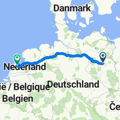
 bici_berlino_copenaghen_zeppelin_2012
- Distance
- 1,109.1 km
- Ascent
- 1,000 m
- Descent
- 1,025 m
- Location
- Berlin, State of Berlin, Germany
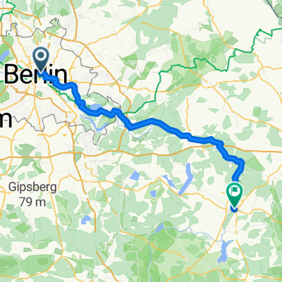 Boootshaus Beeskow
- Distance
- 101.2 km
- Ascent
- 316 m
- Descent
- 314 m
- Location
- Berlin, State of Berlin, Germany
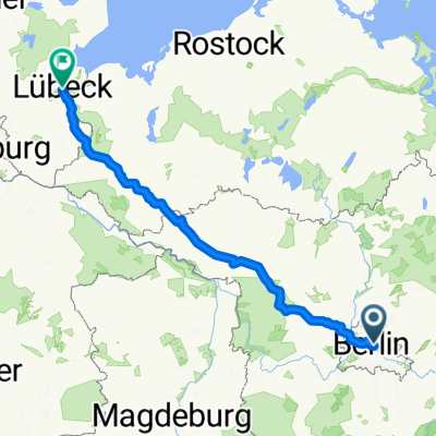 Ellenbrook 21, Lübeck
- Distance
- 288 km
- Ascent
- 885 m
- Descent
- 918 m
- Location
- Berlin, State of Berlin, Germany
 Bundesstraße nach Seydlitzstraße
- Distance
- 21.2 km
- Ascent
- 76 m
- Descent
- 68 m
- Location
- Berlin, State of Berlin, Germany
 Berlin - Kotzen
- Distance
- 70.8 km
- Ascent
- 242 m
- Descent
- 258 m
- Location
- Berlin, State of Berlin, Germany
 S+U Alexanderplatz Bhf/Memhardstr. to Raadhuisstraat a
- Distance
- 739 km
- Ascent
- 1,905 m
- Descent
- 1,940 m
- Location
- Berlin, State of Berlin, Germany
Open it in the app