
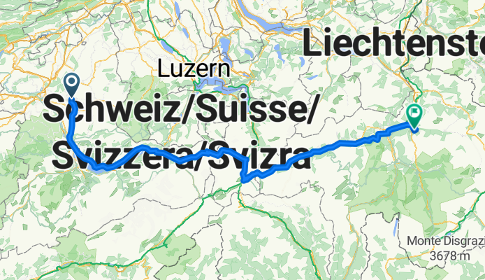
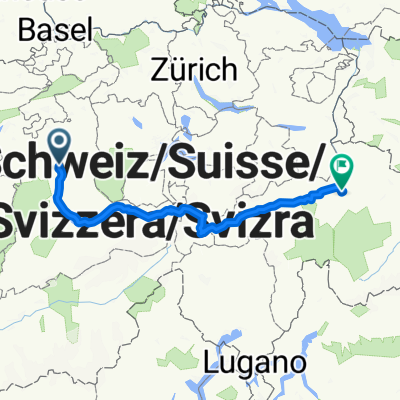
Walkringen - Passugg/Grida (via Susten/Oberalp
A cycling route starting in Walkringen, Canton of Bern, Switzerland.
Overview
About this route
about 4200 meters of elevation gain, the passes are rather flat and easily rideable, due to heavy traffic and galleries, the Schöllenenschlucht is the most uncomfortable to ride.
- -:--
- Duration
- 263.6 km
- Distance
- 3,889 m
- Ascent
- 3,613 m
- Descent
- ---
- Avg. speed
- ---
- Max. altitude
Route quality
Waytypes & surfaces along the route
Waytypes
Quiet road
23.7 km
(9 %)
Road
21.1 km
(8 %)
Surfaces
Paved
221.4 km
(84 %)
Unpaved
10.5 km
(4 %)
Asphalt
221.4 km
(84 %)
Gravel
7.9 km
(3 %)
Continue with Bikemap
Use, edit, or download this cycling route
You would like to ride Walkringen - Passugg/Grida (via Susten/Oberalp or customize it for your own trip? Here is what you can do with this Bikemap route:
Free features
- Save this route as favorite or in collections
- Copy & plan your own version of this route
- Split it into stages to create a multi-day tour
- Sync your route with Garmin or Wahoo
Premium features
Free trial for 3 days, or one-time payment. More about Bikemap Premium.
- Navigate this route on iOS & Android
- Export a GPX / KML file of this route
- Create your custom printout (try it for free)
- Download this route for offline navigation
Discover more Premium features.
Get Bikemap PremiumFrom our community
Other popular routes starting in Walkringen
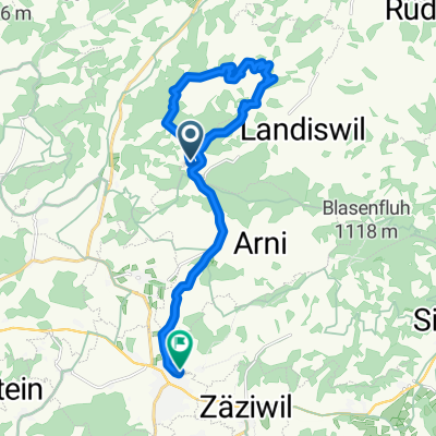
 walkringen Bantiger
- Distance
- 40.1 km
- Ascent
- 993 m
- Descent
- 987 m
- Location
- Walkringen, Canton of Bern, Switzerland
 Berg Panorama
- Distance
- 99.9 km
- Ascent
- 1,582 m
- Descent
- 1,565 m
- Location
- Walkringen, Canton of Bern, Switzerland
 Möschberg-Geissrüggä 17.4.2020
- Distance
- 23.5 km
- Ascent
- 443 m
- Descent
- 435 m
- Location
- Walkringen, Canton of Bern, Switzerland
 walkringen meiringen
- Distance
- 97.9 km
- Ascent
- 975 m
- Descent
- 1,062 m
- Location
- Walkringen, Canton of Bern, Switzerland
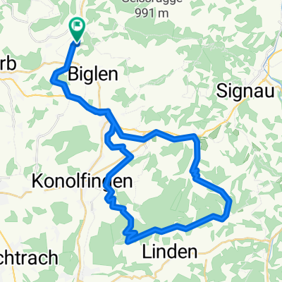
 Entspannende Route in Grösshöchstetten
- Distance
- 16.1 km
- Ascent
- 498 m
- Descent
- 625 m
- Location
- Walkringen, Canton of Bern, Switzerland
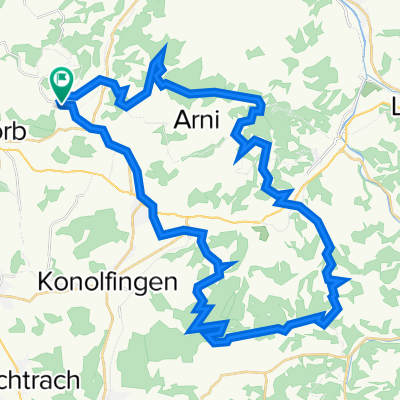
 Güggü - Ringgis - Aebersold (12.7.2020)
- Distance
- 40.2 km
- Ascent
- 760 m
- Descent
- 750 m
- Location
- Walkringen, Canton of Bern, Switzerland
 Erlebnisstour Emmental
- Distance
- 48.9 km
- Ascent
- 1,135 m
- Descent
- 1,135 m
- Location
- Walkringen, Canton of Bern, Switzerland
 Walkringen - Passugg/Grida (via Susten/Oberalp
- Distance
- 263.6 km
- Ascent
- 3,889 m
- Descent
- 3,613 m
- Location
- Walkringen, Canton of Bern, Switzerland
Open it in the app