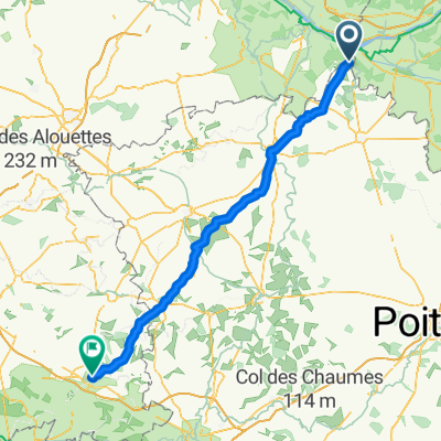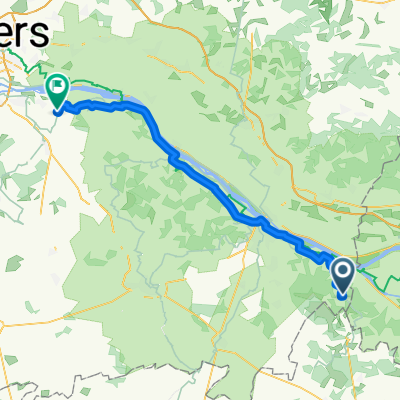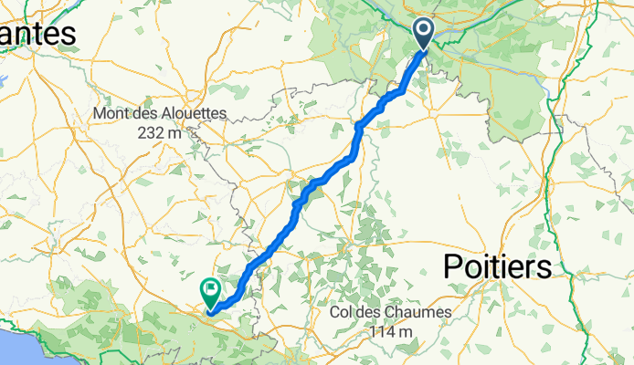

Candes-Saint-Martin-Chinon-Loire
- 50.7 km
- 172 m
- 181 m
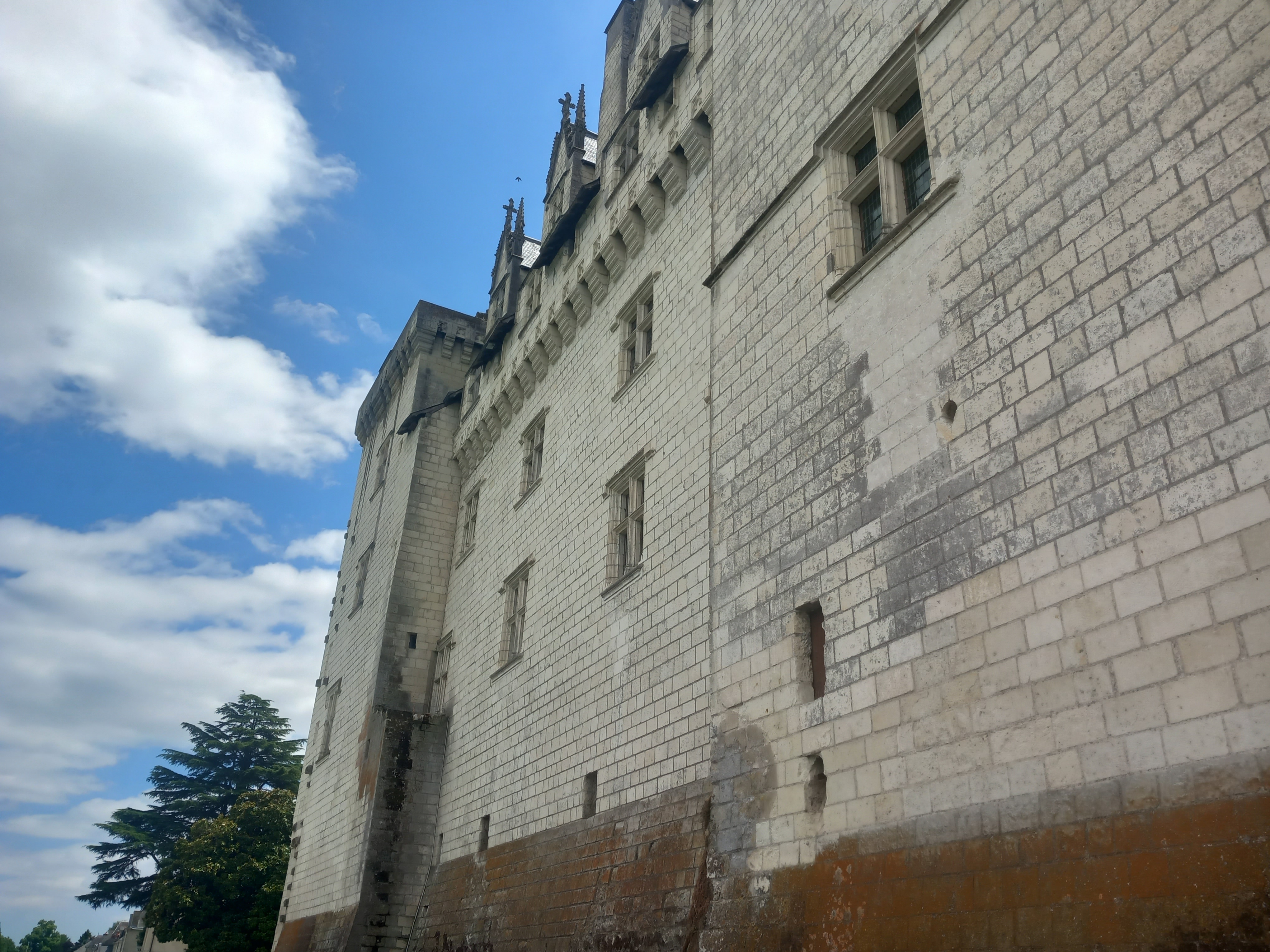
- Fontevraud-l'Abbaye, Pays de la Loire Region, France
A cycling route starting in Fontevraud-l'Abbaye, Pays de la Loire Region, France.
Overview
created this 6 months ago
Route quality
Road
103.2 km
87 %
Quiet road
9.5 km
8 %
Paved
16.6 km
(14 %)
Unpaved
1.2 km
(1 %)
Asphalt
15.4 km
13 %
Concrete
1.2 km
1 %
Continue with Bikemap
You would like to ride Etape 2 or customize it for your own trip? Here is what you can do with this Bikemap route:
Free trial for 3 days, or one-time payment. More about Bikemap Premium.
Discover more Premium features.
Get Bikemap PremiumFrom our community
Open it in the app