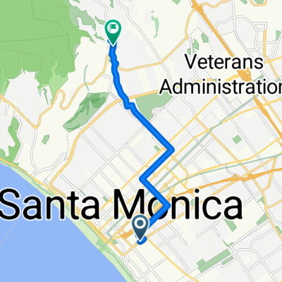
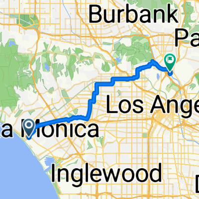
- 31.5 km
- 252 m
- 253 m
- Santa Monica, California, United States
Sixth St, Santa Monica to Mission Junction, Los Angeles
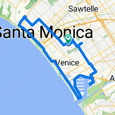
A cycling route starting in Santa Monica, California, United States.
Overview
About this route
Embark on an exhilarating cycling adventure along a 31.1 km scenic route that promises both challenge and beauty. This route takes you through varied landscapes, offering an engaging mix of ascents and descents. Begin your journey by tackling a 293-meter climb, setting the pace for the day ahead. As you progress, enjoy a descent of 233 meters, providing a refreshing change of pace. The route culminates with a peak elevation of 138 meters, offering a rewarding view of the surrounding terrain. This cycling path is ideal for those seeking a dynamic experience, combining elevation changes with picturesque views. Whether you're a seasoned cyclist or looking to explore new routes, this journey promises an unforgettable ride.
AI generated
- 1 h 48 min
- Duration
- 31.1 km
- Distance
- 294 m
- Ascent
- 234 m
- Descent
- 17.2 km/h
- Avg. speed
- 139 m
- Max. altitude
created this 1 month ago
Route quality
Waytypes & surfaces along the route
Waytypes
Quiet road
20.8 km
(67 %)
Cycleway
4 km
(13 %)
Surfaces
Paved
18 km
(58 %)
Unpaved
0.3 km
(1 %)
Asphalt
15.8 km
(51 %)
Concrete
1.6 km
(5 %)
Continue with Bikemap
Use, edit, or download this cycling route
You would like to ride Sixth St, Santa Monica to Mission Junction, Los Angeles or customize it for your own trip? Here is what you can do with this Bikemap route:
Free features
- Save this route as favorite or in collections
- Copy & plan your own version of this route
- Sync your route with Garmin or Wahoo
Premium features
Free trial for 3 days, or one-time payment. More about Bikemap Premium.
- Navigate this route on iOS & Android
- Export a GPX / KML file of this route
- Create your custom printout (try it for free)
- Download this route for offline navigation
Discover more Premium features.
Get Bikemap PremiumFrom our community
Other popular routes starting in Santa Monica
- Monkey Ride
- Sixth St, Santa Monica to Mandeville Canyon Rd, Los Angeles
- 8.8 km
- 123 m
- 26 m
- Santa Monica, California, United States
- Sixth St, Santa Monica to Mission Junction, Los Angeles
- 31.1 km
- 294 m
- 234 m
- Santa Monica, California, United States
- 201 Arizona Ave, Santa Monica to 353 S Maple Dr, Beverly Hills
- 13.8 km
- 155 m
- 124 m
- Santa Monica, California, United States
- W Sunset Blvd, Los Angeles to West Mandeville Fire Road, Los Angeles
- 4.1 km
- 256 m
- 16 m
- Santa Monica, California, United States
- Sixth St, Santa Monica to N Coolidge Ave, Los Angeles
- 35.3 km
- 262 m
- 180 m
- Santa Monica, California, United States
- From Santa Monica to Woodland Hills
- 30.4 km
- 1,221 m
- 900 m
- Santa Monica, California, United States
- Sixth St, Santa Monica to N Spring St, Los Angeles
- 31.3 km
- 298 m
- 231 m
- Santa Monica, California, United States
Open it in the app


