
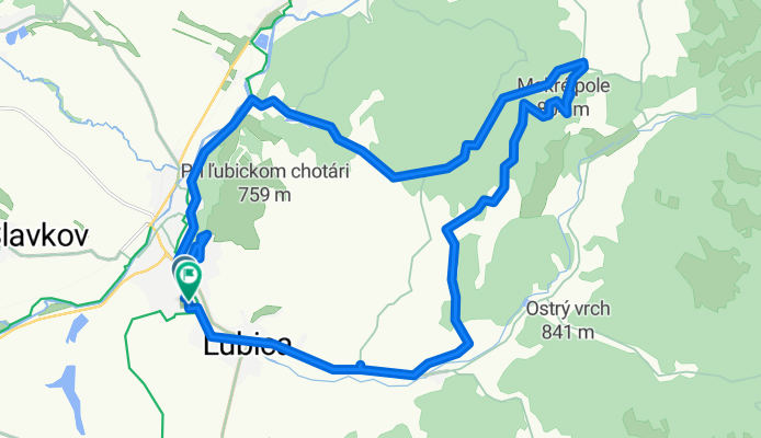
Cez Hajovnu a Zalubica.
A cycling route starting in Kežmarok, Prešov Region, Slovakia.
Overview
About this route
- 3 h 55 min
- Duration
- 28.5 km
- Distance
- 470 m
- Ascent
- 501 m
- Descent
- 7.3 km/h
- Avg. speed
- 880 m
- Max. altitude

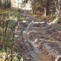
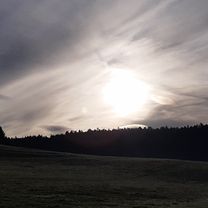
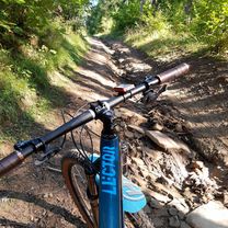
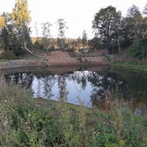
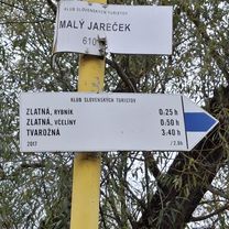
Route photos


Continue with Bikemap
Use, edit, or download this cycling route
You would like to ride Cez Hajovnu a Zalubica. or customize it for your own trip? Here is what you can do with this Bikemap route:
Free features
- Save this route as favorite or in collections
- Copy & plan your own version of this route
- Sync your route with Garmin or Wahoo
Premium features
Free trial for 3 days, or one-time payment. More about Bikemap Premium.
- Navigate this route on iOS & Android
- Export a GPX / KML file of this route
- Create your custom printout (try it for free)
- Download this route for offline navigation
Discover more Premium features.
Get Bikemap PremiumFrom our community
Other popular routes starting in Kežmarok
 V Tatrách.
- Distance
- 46.3 km
- Ascent
- 494 m
- Descent
- 531 m
- Location
- Kežmarok, Prešov Region, Slovakia
 Cez Ruskinovce.
- Distance
- 26 km
- Ascent
- 433 m
- Descent
- 432 m
- Location
- Kežmarok, Prešov Region, Slovakia
 Cez Hajovnu a Zalubica.
- Distance
- 28.5 km
- Ascent
- 470 m
- Descent
- 501 m
- Location
- Kežmarok, Prešov Region, Slovakia
 Cez Lubicku Dolinu.
- Distance
- 36.9 km
- Ascent
- 587 m
- Descent
- 645 m
- Location
- Kežmarok, Prešov Region, Slovakia
 Cez Lesy.
- Distance
- 25.8 km
- Ascent
- 511 m
- Descent
- 553 m
- Location
- Kežmarok, Prešov Region, Slovakia
 Cez lesy a lúky po hrebeni.
- Distance
- 37.2 km
- Ascent
- 644 m
- Descent
- 694 m
- Location
- Kežmarok, Prešov Region, Slovakia
 Pod Tatrami.
- Distance
- 45.5 km
- Ascent
- 592 m
- Descent
- 648 m
- Location
- Kežmarok, Prešov Region, Slovakia
 Kežmarok Tatranska Kotlina
- Distance
- 47.7 km
- Ascent
- 329 m
- Descent
- 362 m
- Location
- Kežmarok, Prešov Region, Slovakia
Open it in the app