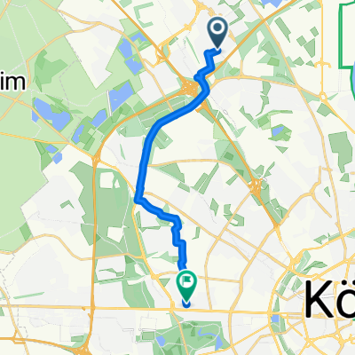
Auweilerweg, Köln nach Venloer Straße, Köln
- 7.9 km
- 13 m
- 13 m
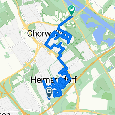
- Mengenich, North Rhine-Westphalia, Germany
A cycling route starting in Mengenich, North Rhine-Westphalia, Germany.
Overview
Embark on a delightful cycling adventure through this scenic route, perfect for both beginners and seasoned riders alike. Starting from a serene park, the path meanders through lush greenery, offering picturesque views along the way. As you pedal, enjoy a gentle ascent of 12 meters, gradually building momentum as you approach a moderate elevation of 62 meters. Here, you'll be rewarded with a thrilling 18-meter descent, providing a thrilling contrast to the earlier climb. This route boasts a total elevation change of 30 meters, ensuring a well-rounded experience. With a distance of 9.5 kilometers and a smooth mix of paved and unpaved surfaces, this cycling path invites you to immerse yourself in nature's beauty while enjoying an exhilarating ride.
AI generated
created this 1 month ago
Route quality
Path
7.4 km
(78 %)
Road
0.9 km
(9 %)
Paved
5.9 km
(62 %)
Asphalt
5.9 km
(62 %)
Undefined
3.6 km
(38 %)
Continue with Bikemap
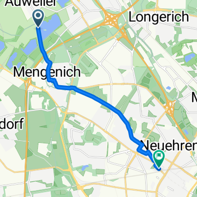
You would like to ride Neue Sandkaul, Köln nach Uracher Straße, Köln or customize it for your own trip? Here is what you can do with this Bikemap route:
Free trial for 3 days, or one-time payment. More about Bikemap Premium.
Discover more Premium features.
Get Bikemap PremiumFrom our community
Open it in the app