
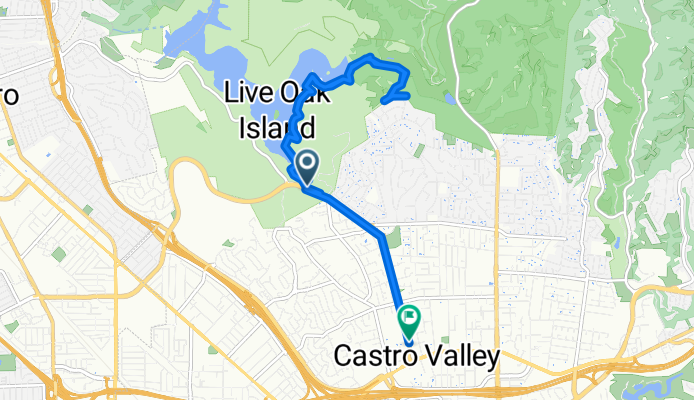
De Lake Chabot Road a Castro Valley Boulevard
A cycling route starting in Ashland, California, United States.
Overview
About this route
- 1 h 16 min
- Duration
- 12.5 km
- Distance
- 221 m
- Ascent
- 235 m
- Descent
- 10 km/h
- Avg. speed
- 170 m
- Max. altitude
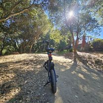
Route photos


Route quality
Waytypes & surfaces along the route
Waytypes
Cycleway
5.3 km
(42 %)
Path
2.6 km
(21 %)
Surfaces
Paved
0.4 km
(3 %)
Unpaved
2.4 km
(19 %)
Ground
2.4 km
(19 %)
Asphalt
0.3 km
(2 %)
Continue with Bikemap
Use, edit, or download this cycling route
You would like to ride De Lake Chabot Road a Castro Valley Boulevard or customize it for your own trip? Here is what you can do with this Bikemap route:
Free features
- Save this route as favorite or in collections
- Copy & plan your own version of this route
- Sync your route with Garmin or Wahoo
Premium features
Free trial for 3 days, or one-time payment. More about Bikemap Premium.
- Navigate this route on iOS & Android
- Export a GPX / KML file of this route
- Create your custom printout (try it for free)
- Download this route for offline navigation
Discover more Premium features.
Get Bikemap PremiumFrom our community
Other popular routes starting in Ashland
 De Lake Chabot Road a Castro Valley Boulevard
- Distance
- 12.5 km
- Ascent
- 221 m
- Descent
- 235 m
- Location
- Ashland, California, United States
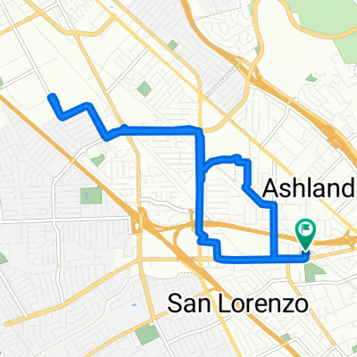 Steady ride in San Lorenzo
- Distance
- 11.9 km
- Ascent
- 32 m
- Descent
- 34 m
- Location
- Ashland, California, United States
 Cull Out and Back
- Distance
- 31.5 km
- Ascent
- 291 m
- Descent
- 298 m
- Location
- Ashland, California, United States
 5 Canyons Mountain Ride
- Distance
- 35.4 km
- Ascent
- 575 m
- Descent
- 578 m
- Location
- Ashland, California, United States
 BayBike: Day 3
- Distance
- 80.6 km
- Ascent
- 850 m
- Descent
- 1,043 m
- Location
- Ashland, California, United States
 Lake Chabot
- Distance
- 19.4 km
- Ascent
- 487 m
- Descent
- 515 m
- Location
- Ashland, California, United States
 Palomares Out and Back
- Distance
- 50.3 km
- Ascent
- 762 m
- Descent
- 767 m
- Location
- Ashland, California, United States
 CV / Moraga / Danville loop
- Distance
- 70.5 km
- Ascent
- 672 m
- Descent
- 673 m
- Location
- Ashland, California, United States
Open it in the app